Information
Landmark: San Joaquin River ParkwayCity: Fresno
Country: USA California
Continent: North America
San Joaquin River Parkway, Fresno, USA California, North America
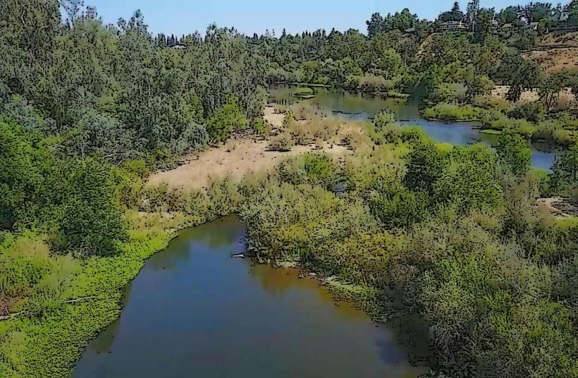
The San Joaquin River Parkway is an expansive and ongoing conservation and recreation project located in California’s Central Valley. It follows the course of the San Joaquin River for approximately 22 miles, from Friant Dam near Millerton Lake to Highway 99 in Fresno. The Parkway is a unique blend of preserved natural habitats, public parks, trails, educational centers, and restored farmlands. Its purpose is multifaceted: to conserve the natural river environment, provide public access and recreation, and educate the community on the ecological and cultural significance of the San Joaquin River.
1. Mission and Vision
The San Joaquin River Parkway was conceived in the early 1990s as a response to the rapid urban development in the Fresno-Madera region. The primary goal was to preserve the ecological integrity of the San Joaquin River, which had long suffered from water diversion, pollution, and habitat destruction. Two key organizations lead its development:
San Joaquin River Parkway and Conservation Trust (nonprofit organization focusing on education and land stewardship)
San Joaquin River Conservancy (state agency responsible for land acquisition and public recreation)
The vision is to create a continuous greenway for wildlife and people, combining restored riparian forests with access to outdoor recreation and environmental education.
2. Key Sites and Facilities
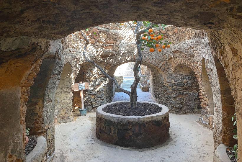
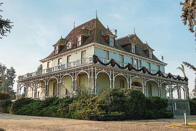
Coke Hallowell Center for River Studies (River Center)
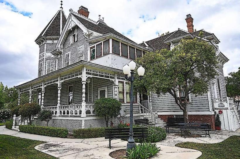
Located on the historic Riverview Ranch, this is the Parkway’s educational and cultural hub.
Includes a restored 1890s ranch house (open on weekends), outdoor classrooms, demonstration gardens, and seasonal art exhibits.
Offers volunteer opportunities, guided hikes, storytelling events, and workshops on gardening and conservation.
Sycamore Island
A 600-acre recreation area on the north bank of the river in Madera County.
Features multiple fishing ponds, river access for non-motorized boats, equestrian and hiking trails, and picnic areas.
Known for its rich birdlife and fishing for bass, catfish, and trout.
Open seasonally (January to October), with a small entrance fee.
Sumner Peck Ranch
A 76-acre site purchased in 2020, formerly a family-owned vineyard.
Now serves both recreational and agricultural purposes, with wine tasting (operated by Solitary Cellars), a scenic picnic area, and U-pick fruit orchards.
Provides opportunities to learn about sustainable agriculture alongside river conservation.
Ball Ranch
A 358-acre site adjacent to Sumner Peck Ranch.
Less developed but features natural ponds, open space, and trails.
Managed for habitat restoration and low-impact recreation like hiking and birding.
Notable for hosting native fish and migratory birds.
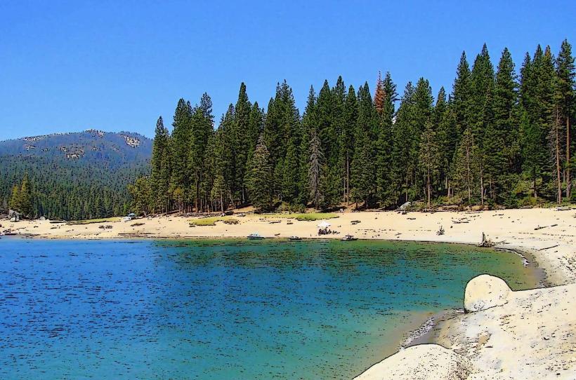
Lost Lake Recreation Area
Located near Friant Dam and operated by Fresno County Parks.
Includes campsites, a day-use picnic area, and river access for kayaking and fishing.
Also home to a restored section of riparian habitat with interpretive signs and wildlife viewing opportunities.
Lewis S. Eaton Trail
A multi-use paved trail following the bluff line above the river.
Popular for walking, running, and cycling.
Connects the River Center with Woodward Park and includes scenic overlooks, interpretive signs, and access points to natural areas below the bluffs.
3. Recreational Activities
The Parkway supports a wide range of outdoor activities:
Hiking and Biking: Extensive trails including both paved and unpaved routes. Popular loops exist within Sycamore Island, Ball Ranch, and along the bluffs.
Fishing: Abundant opportunities exist in ponds and the river itself. Seasonal fishing is especially good at Sycamore Island and Lost Lake.
Boating and Kayaking: Launch points are available at Friant Cove, Sycamore Island, and Lost Lake. The river can be challenging in some sections, so knowledge of flows and conditions is important.
Bird Watching and Nature Study: The Parkway is part of the Pacific Flyway, attracting species such as herons, egrets, pelicans, and various waterfowl.
Camping: Limited to designated areas like Lost Lake Park.
4. Conservation Efforts
The Parkway plays a vital role in regional conservation by:
Restoring Riparian Habitat: Replanting native species like willow, cottonwood, and elderberry to restore ecosystems along the riverbanks.
Protecting Wildlife Corridors: The Parkway connects fragmented habitats, allowing animals like beavers, bobcats, and foxes to migrate and thrive.
Land Acquisition: Over 2,800 acres have been protected through purchases or conservation easements.
Youth Education: Programs include river field trips, summer camps, and stewardship opportunities for students and volunteers.
5. Visitor Information
Open Hours: Vary by site. Most areas like the River Center and Eaton Trail are open daily; Sycamore Island has seasonal access (Jan–Oct), and Lost Lake is open year-round.
Entry Fees: Some locations charge a modest fee (e.g., $5 for vehicle entry at Lost Lake or Sycamore Island).
Accessibility: Many Parkway trails and facilities are ADA-compliant, especially the Eaton Trail and parts of the River Center.
Best Times to Visit: Spring and fall offer the best weather and most wildlife activity. Summer can be very hot; early mornings are ideal.
The San Joaquin River Parkway is both a regional treasure and a long-term environmental project that aims to balance urban growth with ecological preservation. It is an essential destination for locals and visitors interested in outdoor recreation, environmental education, and natural beauty in California’s Central Valley.