Information
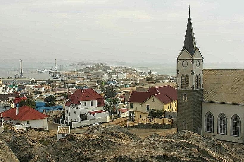
Landmark: GrillentalCity: Luderitz
Country: Namibia
Continent: Africa
Grillental, Luderitz, Namibia, Africa
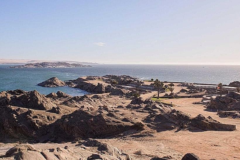
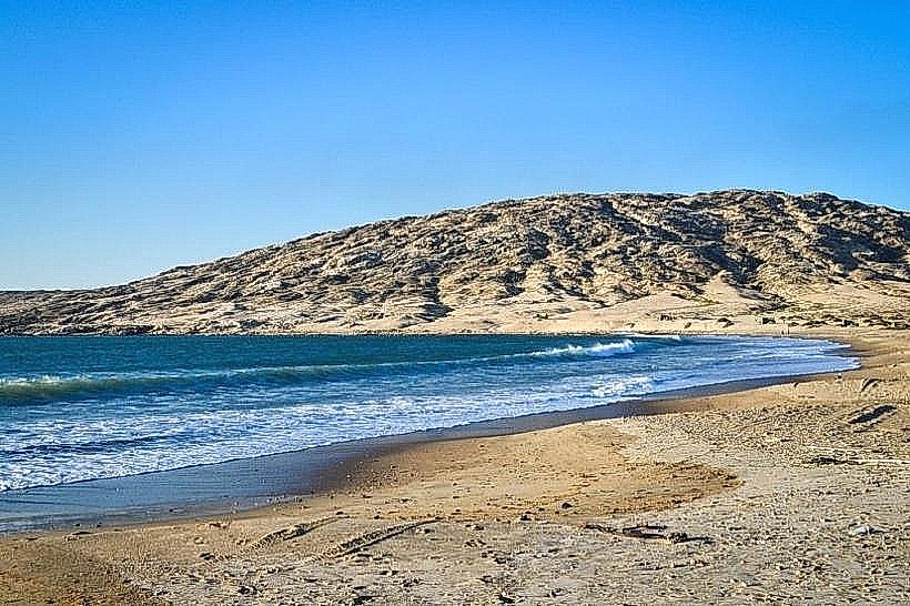
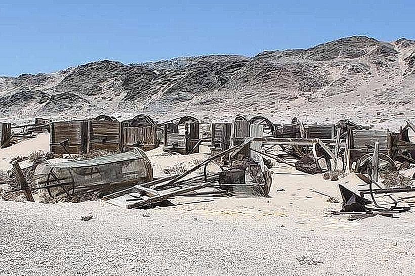
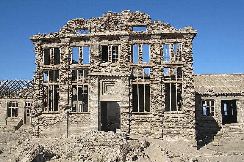
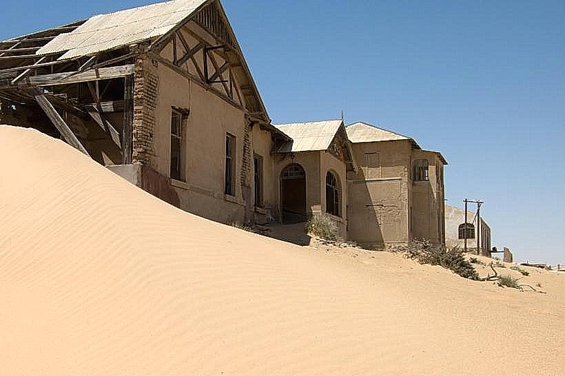
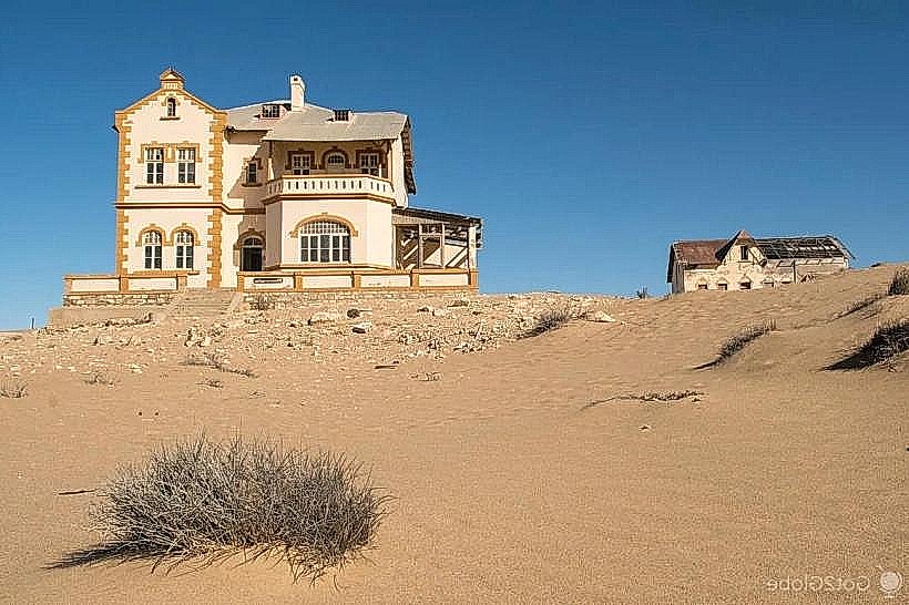
Grillental is an abandoned diamond mining camp and a significant paleontological site situated within the central Sperrgebiet National Park. It is located in a valley approximately 45 kilometers south of Lüderitz and 15 kilometers inland from the Atlantic coast.
Visual Characteristics
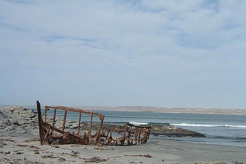
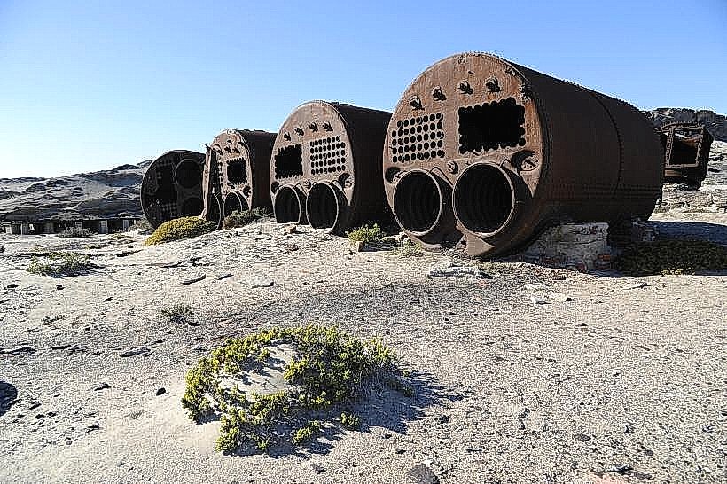
The site features several derelict structures, including a primary residential building and the remains of industrial sieving plants, all constructed from brick and timber. The buildings are severely weathered, with many roofs collapsed and interiors partially filled with sand. The surrounding valley is characterized by broad gravel plains, low rocky ridges, and a notable absence of vegetation, except for small, salt-tolerant succulents.
Location & Access Logistics
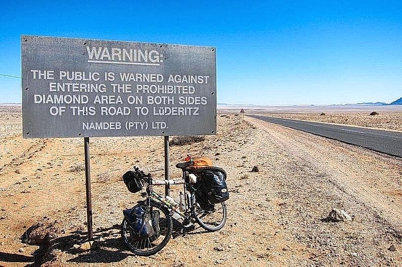
Access is strictly prohibited without a specialized permit and an accredited guide. The site is located within the restricted diamond zone and is accessible only via 4x4 vehicles on ungraded desert tracks from Lüderitz. Visitors must undergo a security clearance process and obtain a national park entry permit. No public transport or private self-drive access is permitted.
Historical & Ecological Origin
Grillental was established in the early 20th century as a satellite mining station during the German colonial diamond rush. Geologically, the valley is internationally significant for its Early Miocene fossil deposits (approximately 18–20 million years old), which have yielded remains of extinct rodents, rhinoceroses, and tortoises. This fossil record indicates that the region was once a humid, subtropical environment before the onset of extreme aridity.
Key Highlights & Activities
Exploring the architectural ruins is the primary activity for most visitors. For scientific expeditions, the focus is on paleontological research within the sedimentary layers of the valley. Photography is centered on the stark, isolated ruins and the vast, wind-swept desert horizons.
Infrastructure & Amenities
There is no infrastructure at Grillental. The site lacks restrooms, shaded structures, and potable water. All provisions must be carried in by the tour operator. Cell phone signal (4G/5G) is non-existent, and the area is a total telecommunications dead zone.
Best Time to Visit
The optimal time for a visit is during the winter months (May to August) to avoid extreme heat. Tours usually take place in the morning to minimize exposure to the high-velocity afternoon winds characteristic of the southern Namib. Clear mornings provide the best lighting for capturing the textures of the decaying masonry.
Facts & Legends
The name "Grillental" translates from German as "Cricket Valley," a name likely given by early miners despite the current lack of insect life due to the hyper-arid conditions. A specific scientific tip: the fossils found here are extremely fragile; unauthorized collection of any geological or paleontological material is strictly illegal and subject to heavy fines and imprisonment under the Heritage Act.
Nearby Landmarks
Elizabeth Bay Ghost Town: 20km North-West
Pomona Ghost Town: 25km South-East
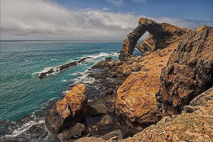
Bogenfels Rock Arch: 60km South
Kolmanskop Ghost Town: 35km North