Information
Landmark: Okatie RiverCity: Beaufort
Country: USA South Carolina
Continent: North America
Okatie River, Beaufort, USA South Carolina, North America
The Okatie River is a tidal river located in northern Beaufort County and southern Jasper County, South Carolina, forming part of the Lowcountry’s extensive network of waterways. It flows generally southeast, eventually joining the Port Royal Sound estuary before reaching the Atlantic Ocean. The river is characterized by its brackish waters, tidal marshes, and scenic natural surroundings.
Geography and Hydrology:
The Okatie River originates near the town of Ridgeland and winds through a combination of freshwater wetlands and tidal marshes.
It spans approximately 15–20 miles from its headwaters to its mouth at Port Royal Sound.
The river’s tidal nature means that water levels fluctuate significantly with the Atlantic tides, influencing salinity, vegetation, and wildlife habitats.
Ecology and Environment:
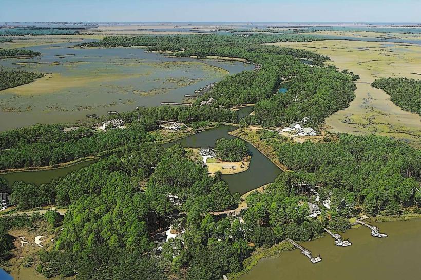
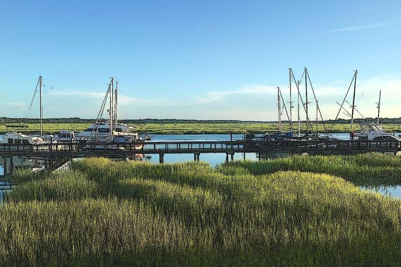
The Okatie River watershed supports diverse ecosystems, including salt marshes, hardwood swamps, and tidal creeks.
Vegetation includes cypress, live oak, palmetto, spartina grasses, and marsh reeds.
The river is home to numerous fish species, such as red drum, spotted sea trout, flounder, and sheepshead, making it a popular spot for recreational fishing.
It provides critical habitat for wading birds, ospreys, herons, and migratory shorebirds, as well as aquatic species like blue crabs and shrimp.
Human Use and Recreation:
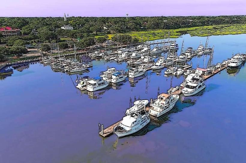
The Okatie River is used for boating, kayaking, and canoeing, with scenic routes through salt marshes and along undeveloped riverbanks.
Fishing and crabbing are common along the river and its tributaries.
Surrounding areas include a mix of residential communities, rural farmland, and preserved lands, with some areas protected under conservation easements to maintain the natural character of the river.
Cultural and Historical Significance:
Historically, the Okatie River region supported rice and indigo plantations, using the tidal flows for irrigation.
The river’s waterways were also important transportation routes for colonial settlers and later local communities.
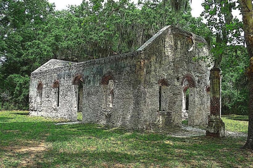
Evidence of historic tabby constructions and other colonial-era remnants can be found along the riverbanks in certain preserved areas, linking it to the broader Lowcountry heritage.
Conservation:
Preservation efforts focus on water quality, wetland protection, and limiting overdevelopment, as the river’s tidal marshes are critical for flood control and wildlife.
Local organizations and state agencies monitor the river to protect it from pollution, habitat loss, and erosion caused by boat wakes and development pressures.
The Okatie River exemplifies the natural beauty and ecological importance of South Carolina’s Lowcountry waterways, offering a combination of scenic vistas, recreational opportunities, and historical context tied to the region’s colonial and agricultural past.

