Information
Landmark: SturmvogelbuchtCity: Luderitz
Country: Namibia
Continent: Africa
Sturmvogelbucht, Luderitz, Namibia, Africa
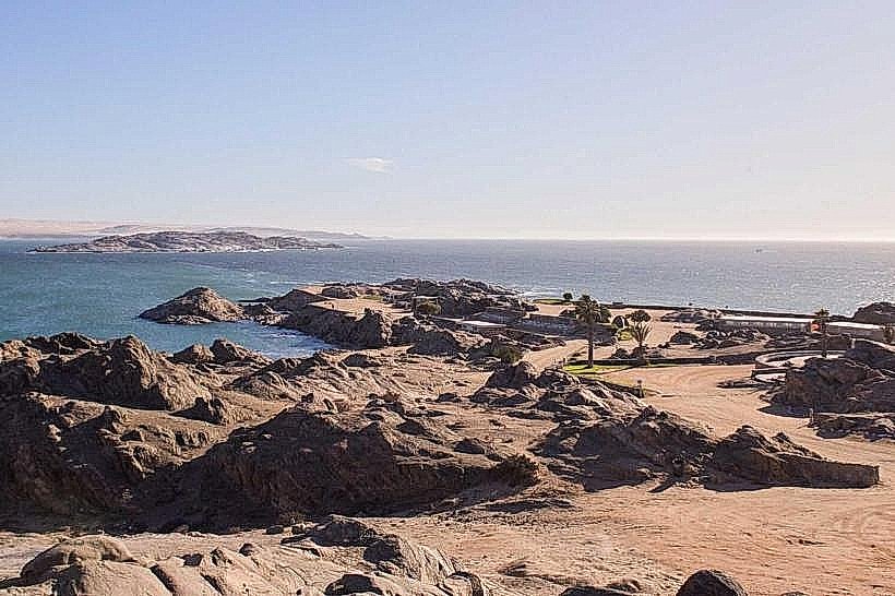
Sturmvogelbucht is a sheltered, crescent-shaped bay on the eastern side of the Lüderitz Peninsula. It is located approximately 11 kilometers south of the Lüderitz town center, overlooking the calm inner waters of the lagoon.
Visual Characteristics
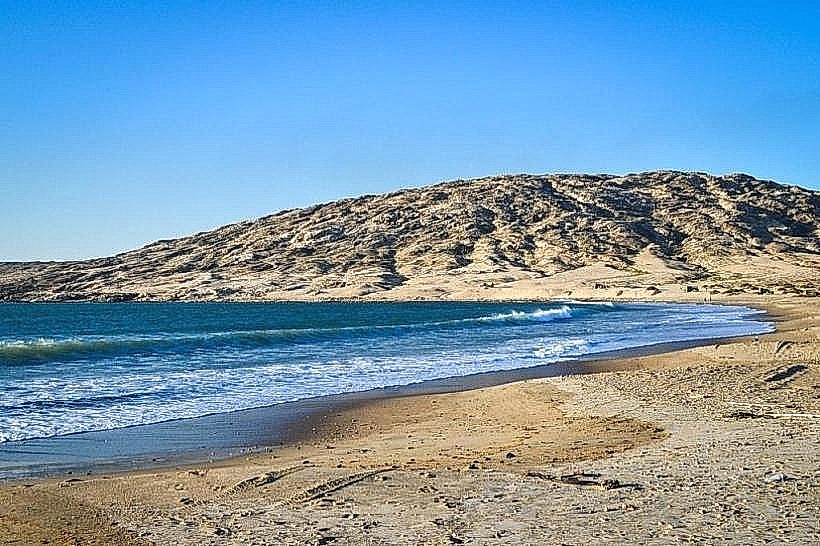
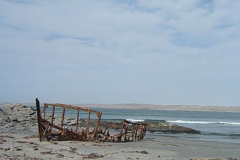
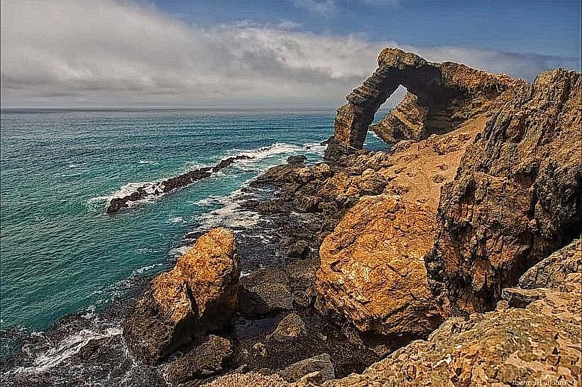
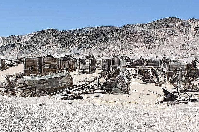
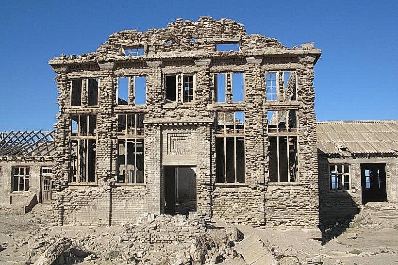
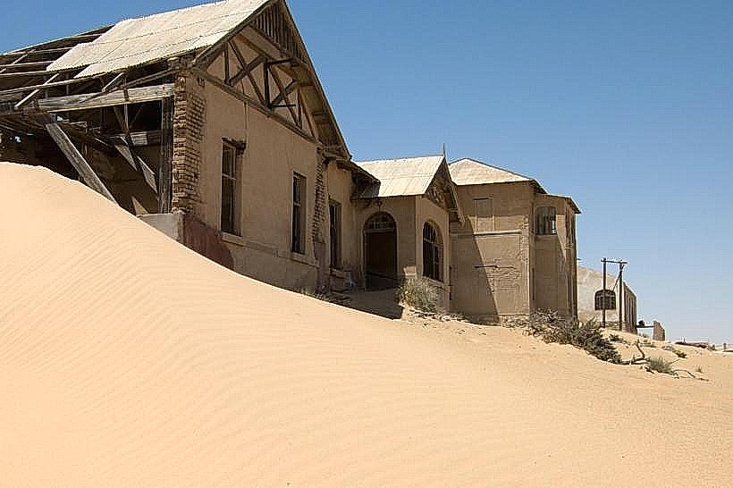
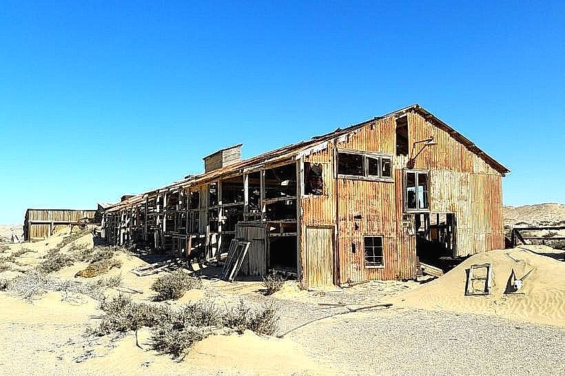
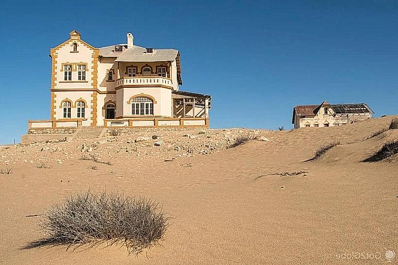
The bay features a narrow beach composed of fine sand and crushed shells, flanked by low-lying granite outcrops. Unlike the exposed Atlantic side of the peninsula, the water here is relatively calm and turquoise in color. The shoreline is marked by the rusted remains of an abandoned Norwegian whaling station and various industrial debris from the early 20th century.
Location & Access Logistics
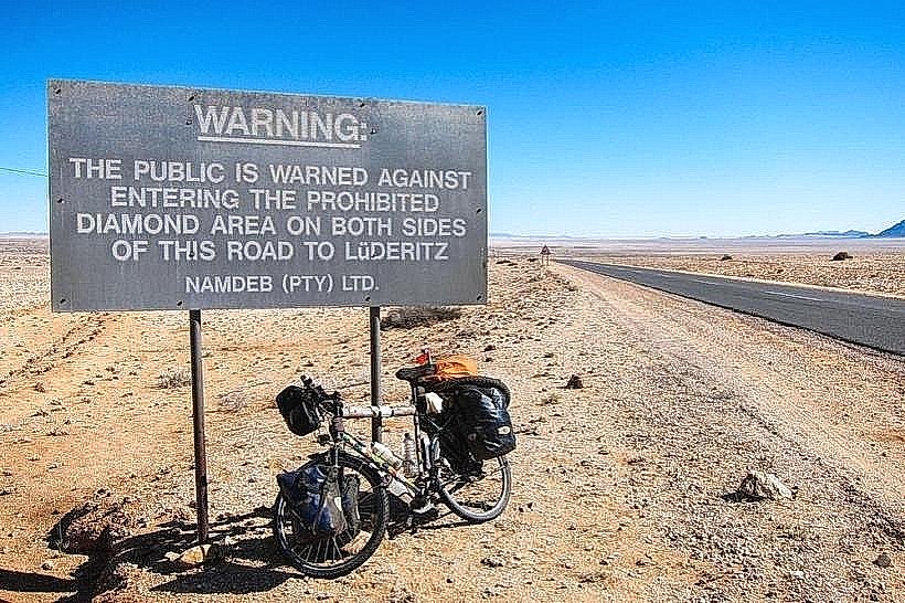
Access is via the Peninsula gravel road, which loops southward from Lüderitz. The turn-off to the bay is clearly signposted and manageable for 2WD vehicles. There is no public transportation; visitors must use private transport or taxis. A small gravel parking area provides direct access to the beach and the historical ruins.
Historical & Ecological Origin
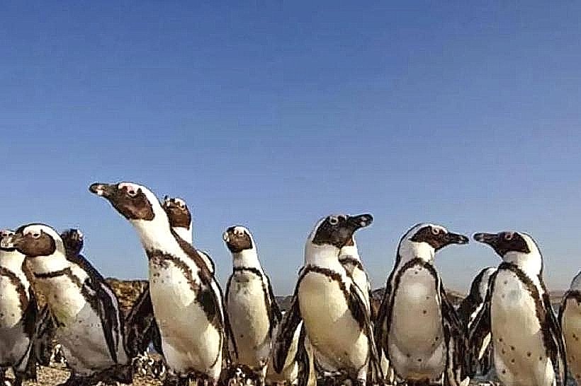
The site was established in 1913 as a Norwegian-owned whaling station, which operated briefly before being closed due to the outbreak of World War I. Geologically, it is a protected cove formed by the granite intrusions of the peninsula. The bay serves as a significant habitat for Greater Flamingos and Cape Fur Seals, which often forage in the shallow, nutrient-rich waters.
Key Highlights & Activities
Industrial archaeology is a primary interest, as visitors can walk among the ruins of the whaling station's blubber-boiling vats and brick foundations. The bay is a popular spot for sheltered swimming and picnics due to its protection from the prevailing south-westerly winds. Birdwatching and photography of the weathered metal ruins are common activities.
Infrastructure & Amenities
Infrastructure is minimal and consists of a few concrete picnic tables and basic braai (barbecue) stands. There are no public restrooms, potable water sources, or food vendors at the site. Cell phone signal (4G) is weak or intermittent depending on the specific location within the cove.
Best Time to Visit
The best time for photography is during the late afternoon when the sun highlights the rusted textures of the industrial ruins. The bay is most pleasant during the morning hours before the daily winds pick up. It is accessible year-round, though coastal fog is frequent during the winter months.
Facts & Legends
Local history suggests that the station was so short-lived that many of the original whale-processing machines were never fully utilized before abandonment. A specific tip: the water remains significantly calmer here than at Grosse Bucht, making it the most suitable location on the peninsula for launching kayaks or small paddleboards.
Nearby Landmarks
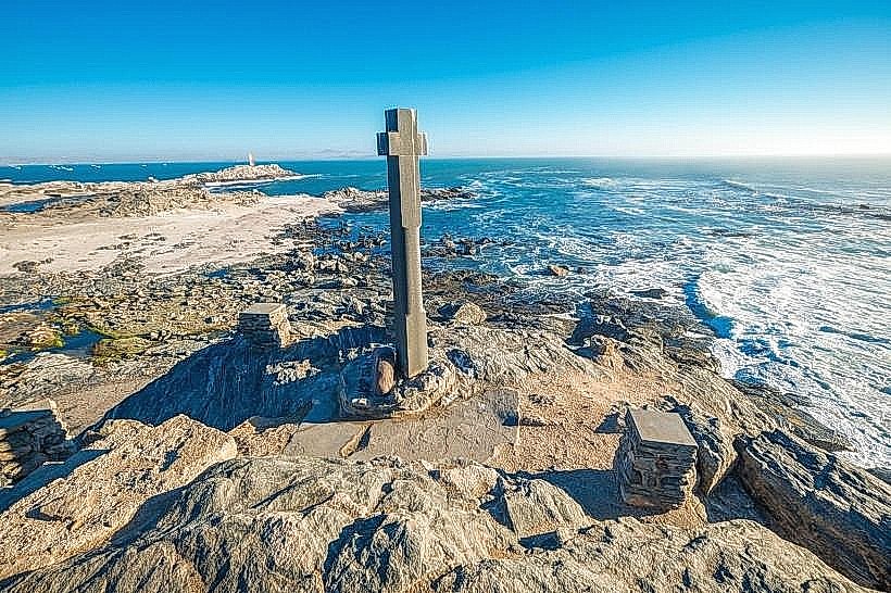
Diaz Point: 6km West
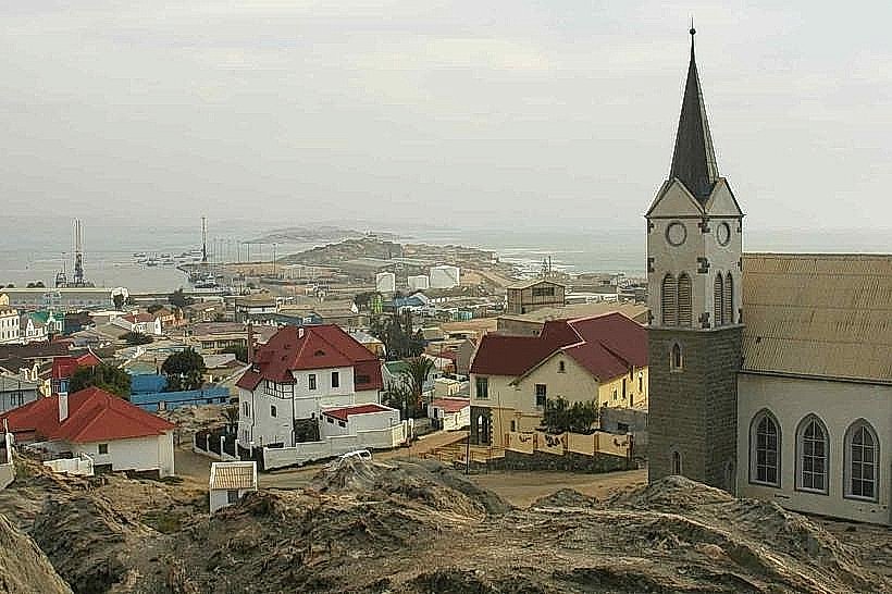
Luderitz-museum_luderitz" class="underline">Lüderitz Museum: 11km North
Shark Island: 12km North
Grosse Bucht: 9km South