Information
Landmark: Almindingen ForestCity: Bornholm
Country: Denmark
Continent: Europe
Almindingen Forest, Bornholm, Denmark, Europe
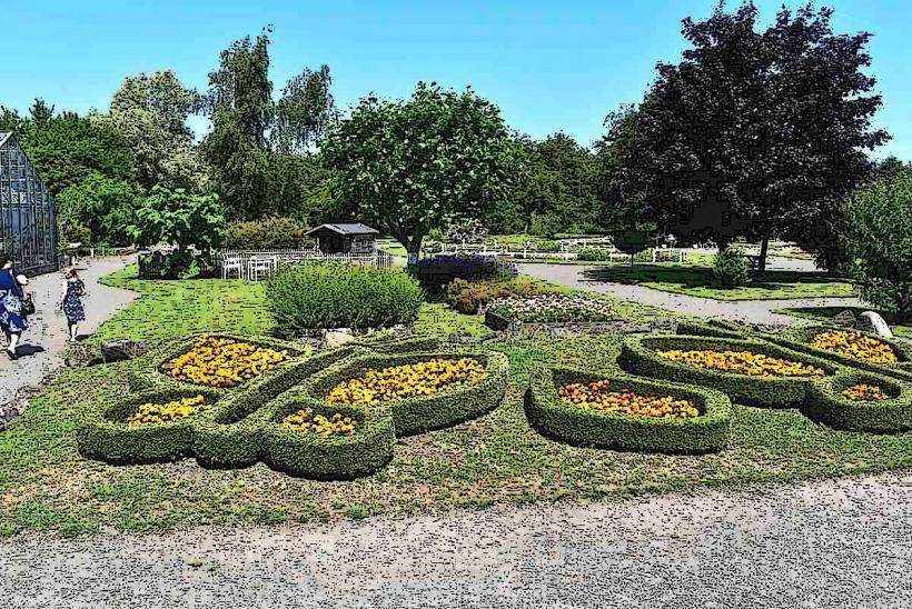
Almindingen Forest is Denmark's third-largest forest, situated in the central region of the island of Bornholm. This managed woodland covers a significant area, characterized by varied terrain and specific ecological features.
Visual Characteristics
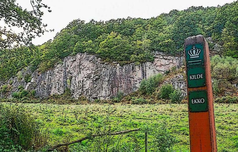
The forest comprises a mix of deciduous and coniferous trees, with dominant species including oak, beech, and spruce. Its topography features undulating hills, distinct valleys such as Ekkodalen, and several small lakes like Åsedam. The undergrowth consists of ferns, mosses, and various ground flora, contributing to a dense canopy that filters sunlight.
Location & Access Logistics
Almindingen Forest is centrally located on Bornholm, approximately 10-15 kilometers east of Rønne. Primary access roads include Skovvejen and Almindingenvej, which traverse parts of the forest. Designated parking areas are available at key entry points, including near Ekkodalen and the base of Rytterknægten. Public bus routes operated by BAT, such as route 37 (Rønne-Svaneke), have stops on the forest's periphery or within its bounds, providing public transport options.
Historical & Ecological Origin
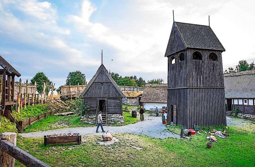
The name "Almindingen" translates to "the common land," reflecting its historical use as communal pasture and woodland. Extensive reforestation efforts commenced in the 19th century, transforming it into its current managed forest state. Ecologically, it is classified as a temperate mixed forest ecosystem, supporting diverse flora and fauna.
Key Highlights & Activities
Marked trails facilitate hiking, including sections of the long-distance Højlyngsstien. Cycling is possible on designated forest paths. Ascending the Kongemindet tower at Rytterknægten, Bornholm's highest point, provides panoramic views. Shouting towards the rock face in Ekkodalen demonstrates its acoustic properties. Wildlife observation, particularly of fallow deer, is common. Fishing in lakes like Åsedam is permitted with a valid license.
Infrastructure & Amenities
Restroom facilities are available at primary visitor points such as Ekkodalen and Rytterknægten. The dense tree cover provides extensive natural shade throughout the forest. Cell phone signal (4G/5G) is generally present but may experience localized interruptions in deeper, more secluded areas. Seasonal food vendors operate at Ekkodalen, and numerous picnic areas are distributed across the forest.
Best Time to Visit
Spring (April-May) offers fresh foliage and blooming plants. Autumn (September-October) is optimal for viewing fall colors. Summer (June-August) provides the warmest weather for outdoor activities. Early morning or late afternoon light conditions are suitable for photography, with sunlight filtering through the canopy.
Facts & Legends
Rytterknægten, at 162 meters above sea level, is the highest natural point on Bornholm. The Kongemindet tower, constructed atop it, adds an additional 12 meters to the viewing height. Ekkodalen is recognized as Denmark's longest rift valley, extending approximately 12 kilometers. The forest maintains a population of fallow deer, which were introduced to the island in the 19th century.
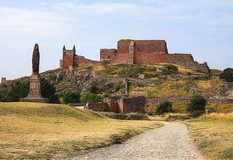
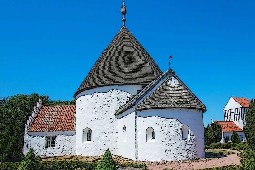
Nearby Landmarks
- Gamleborg (Viking fortress ruins): 1.5km West
- Lilleborg (medieval castle ruins): 2km North-West
- Christianshøj (former inn and nature center): 1km South-East
- Åsedam (forest lake): 0.8km North-East