Information
Landmark: Eiger MountainCity: Interlaken
Country: Switzerland
Continent: Europe
Eiger Mountain, Interlaken, Switzerland, Europe
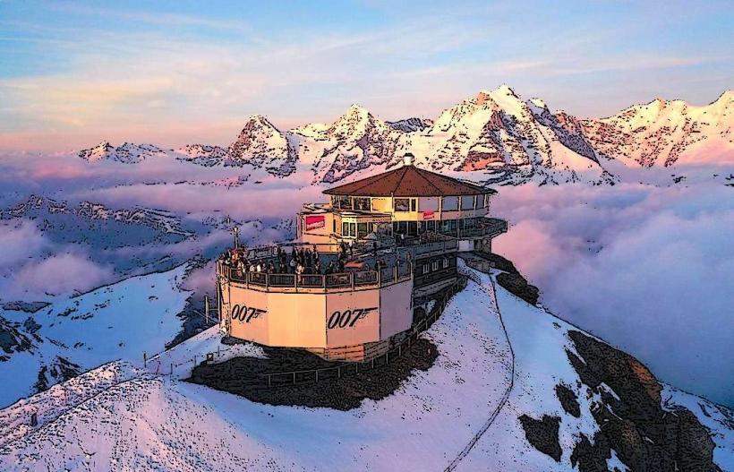
The Eiger is a 3,967-meter mountain peak in the Bernese Alps of Switzerland. It is situated in the Jungfrau region, overlooking the valleys of Grindelwald and Lauterbrunnen, approximately 20km southeast of Interlaken.
Visual Characteristics
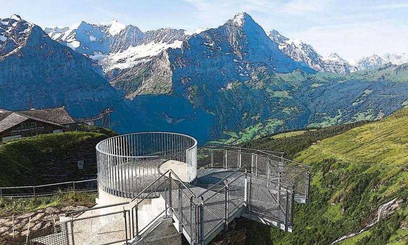
The mountain is defined by its North Face (Nordwand), a 1,800-meter vertical wall of limestone and shale, which is the largest in the Alps. Its pyramid shape features distinct ridges, primarily the Mittellegi and West ridges. The peak is frequently covered in snow and ice, with the Eiger Glacier (Eigergletscher) situated on its western flank.
Location & Access Logistics
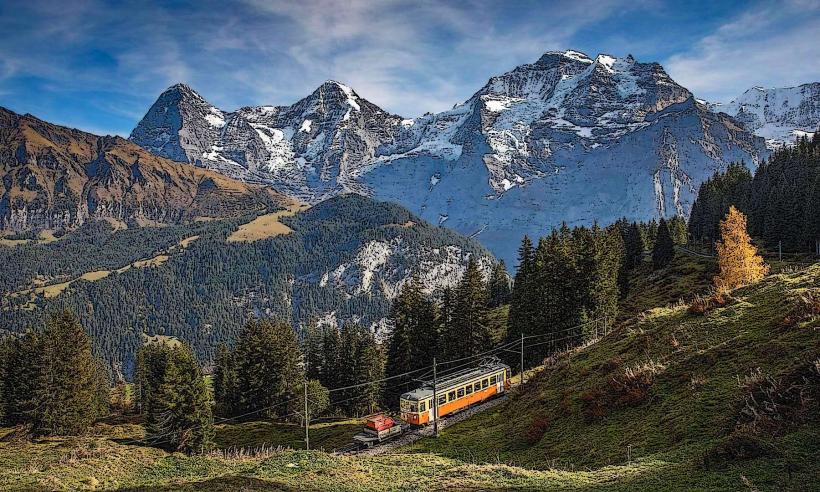
Primary access is via the Jungfrau Railway from Grindelwald or Lauterbrunnen. Passengers take the Eiger Express tricable gondola from the Grindelwald Terminal to the Eigergletscher station (2,320m). Alternatively, the Wengernalp Railway provides access to Kleine Scheidegg, the base for North Face viewing. There is no public vehicular access to the mountain itself; cars must be parked at the Grindelwald Terminal or Lauterbrunnen parking garages.
Historical & Ecological Origin
The Eiger was formed through the folding of the Helvetic nappes during the Alpine orogeny, composed primarily of hard Jurassic limestone. It was first summited in 1858 by Charles Barrington, Christian Almer, and Peter Bohren. The infamous North Face remained unclimbed until 1938, when an Austro-German team successfully navigated the wall over three days.
Key Highlights & Activities
Hiking the "Eiger Trail" (6km) from Eigergletscher to Alpiglen allows for close-proximity views of the North Face base. Mountaineering via the Mittellegi Ridge is a highly technical summer activity. The "Eiger Express" gondola offers an aerial view of the mountain’s limestone formations. In winter, the western slopes are used for downhill skiing within the Jungfrau Ski Region.
Infrastructure & Amenities
The Eigergletscher station features a full-service restaurant, restrooms, and 5G cellular connectivity. There is a mountain hut (Mittellegihütte) located on the northeast ridge for technical climbers. No shade is available on the mountain trails. Emergency mountain rescue services (REGA) are accessible via the 1414 emergency number.
Best Time to Visit
The optimal time for hiking and sightseeing is from July to September. For photography, the North Face is best captured in the late afternoon when the sun highlights the rock texture. In winter (December–March), the mountain serves as a backdrop for snow sports. High-altitude weather can change rapidly; checking the live webcam at Eigergletscher is recommended before departure.
Facts & Legends
The North Face is nicknamed "Mordwand" (Murder Wall) due to the high number of fatalities occurring during early ascent attempts. A unique engineering feature is the Jungfrau Railway tunnel, which runs through the heart of the Eiger; it formerly included an observation window (Eigerwand) directly on the North Face, though this stop is now largely closed to regular traffic.
Nearby Landmarks
Mönch Peak – 2.5km South
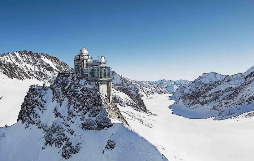
Jungfraujoch (Top of Europe) – 3.5km Southwest
Kleine Scheidegg – 2.1km West
Eigergletscher Station – 1.0km West
Grindelwald Village – 6.5km North