Information
Landmark: Montaña ClaraCity: La Graciosa
Country: Canary Islands
Continent: Europe
Montaña Clara, La Graciosa, Canary Islands, Europe
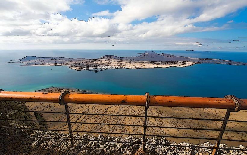
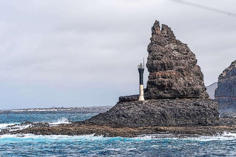
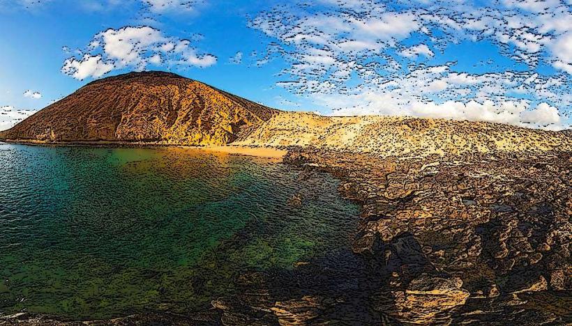
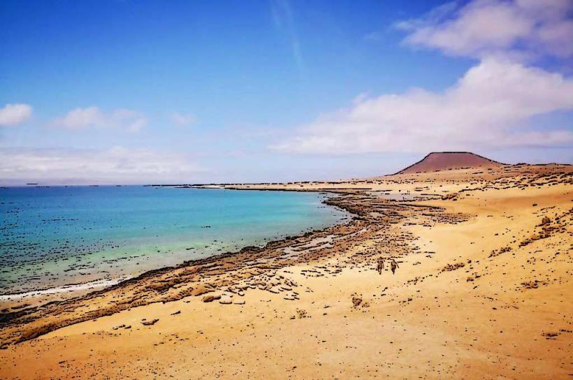
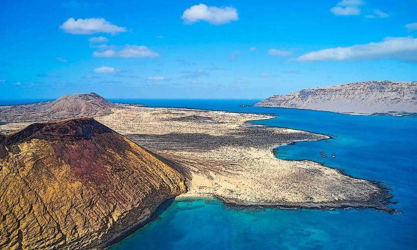
Montaña Clara is an uninhabited volcanic islet situated north of La Graciosa, within the Chinijo Archipelago Natural Park in the Canary Islands.
Visual Characteristics
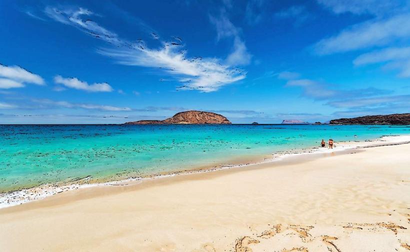
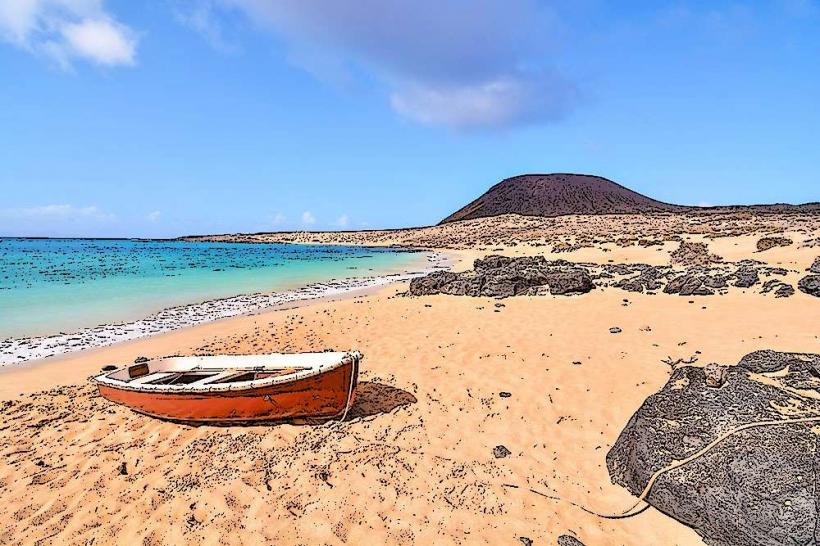
The islet exhibits a conical volcanic structure, reaching an elevation of 256 meters at its highest point. Its slopes are characterized by reddish-brown and black volcanic rock, with sparse, low-lying scrub vegetation adapted to arid conditions. The coastline features small, light-colored sandy coves contrasting with dark rock formations.
Location & Access Logistics
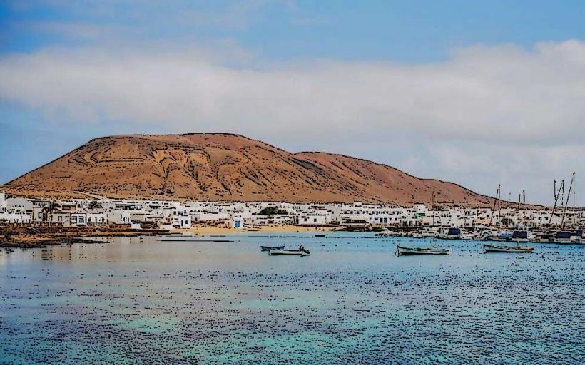
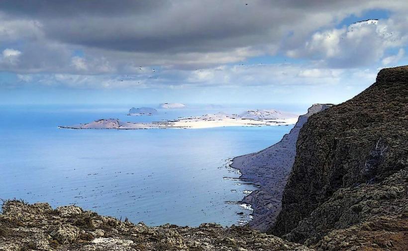
Access to Montaña Clara is exclusively by boat from Caleta de Sebo on La Graciosa. It is approximately 2 kilometers north of La Graciosa's northern tip. There are no roads, public transport, or designated parking facilities on the islet. Private boat charters or organized excursions from La Graciosa are the only means of approach. Landing is restricted to specific points, often requiring prior authorization due to its protected status.
Historical & Ecological Origin
Montaña Clara is a geologically recent volcanic formation, part of the Chinijo Archipelago, which emerged from submarine volcanic activity. Ecologically, it is classified as a Special Protection Area for Birds (SPA) and a Ramsar site, forming a critical breeding ground for various seabird species. It has been privately owned by the Jordán family since the 19th century, though it is managed under the Chinijo Archipelago Natural Park regulations.
Key Highlights & Activities
Birdwatching is a primary activity, with opportunities to observe species such as Cory's shearwater and European storm petrel. Snorkeling and diving are possible in the surrounding waters, which host diverse marine life. Landing on the islet is generally restricted to specific areas and often requires permits for conservation purposes.
Infrastructure & Amenities
There are no permanent structures, restrooms, or designated shade areas on Montaña Clara. Cell phone signal (4G/5G) is intermittent and unreliable. No food or water vendors are present; visitors must bring all necessary supplies. Emergency services are only accessible via boat from La Graciosa.
Best Time to Visit
The best time to visit the waters around Montaña Clara is during the spring (April-June) and autumn (September-November) months when sea conditions are typically calmer and temperatures are moderate. These periods also coincide with significant bird breeding seasons. Early morning offers the calmest seas for boat transfers and optimal light for photography.
Facts & Legends
Montaña Clara is the smallest of the three main uninhabited islets in the Chinijo Archipelago. Its name, meaning "Clear Mountain," refers to the distinct visibility of its peak. The islet is a crucial sanctuary for the critically endangered Canarian Egyptian Vulture, with strict conservation measures in place to protect its habitat.
Nearby Landmarks
- La Graciosa (main island) - 2km South
- Alegranza (uninhabited islet) - 10km North
- Roque del Este (uninhabited islet) - 15km East
- Caleta de Sebo (main town on La Graciosa) - 5km South