Information
Landmark: Mount RysyCity: Vysoke Tatry
Country: Slovakia
Continent: Europe
Mount Rysy, Vysoke Tatry, Slovakia, Europe
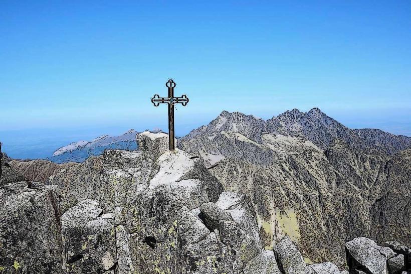
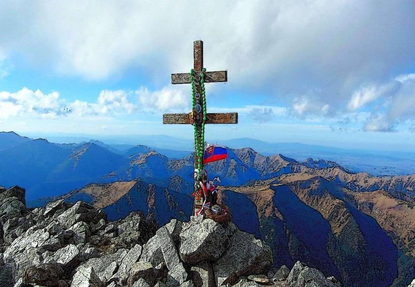
Mount Rysy is a mountain peak in the High Tatras situated on the border between Slovakia and Poland. It consists of three summits, the middle of which is the highest point in Poland at 2,499 meters, while the highest northwestern peak reaches 2,501 meters within Slovak territory.
Visual Characteristics
The mountain is composed of Tatra granite and features a jagged, glaciated topography with steep couloirs and rocky ridges. The northwestern face drops precipitously toward the Morskie Oko lake in Poland, while the southern slopes toward Slovakia are characterized by boulder fields and alpine meadows. The summit area is narrow and rocky, often retaining snow patches throughout the summer months.
Location & Access Logistics
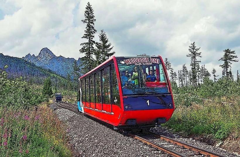
The peak is accessible from the Slovak side starting at the Popradské pleso railway station (Tatra Electric Railway). From there, the blue-marked trail leads to the Mengusovská valley, transitioning to the red-marked trail at the rázcestie nad Žabím potokom junction. Total ascent from the trailhead takes approximately 4 to 5 hours.
Historical & Ecological Origin
The peak was formed through tectonic uplift and subsequent glacial erosion during the last ice age. The first recorded ascent was made in 1840 by Ede Blásy and his guide Ján Ruman-Driečny. It is part of the Tatra National Park and serves as a critical habitat for the Tatra chamois and Alpine marmot.
Key Highlights & Activities
Hiking is the primary activity, as Rysy is the highest peak in the High Tatras accessible via a marked tourist trail without a mountain guide. The route includes a section equipped with fixed steel chains and ladders near the Chata pod Rysmi. It is a popular cross-border hiking point between the Slovak and Polish sides of the range.
Infrastructure & Amenities
The Chata pod Rysmi, located at 2,250 meters, is the highest mountain hut in the Tatras and provides food, basic lodging, and public restrooms. A unique feature is the panoramic "latrine" situated on a cliff edge near the hut. There is no infrastructure at the summit. Cell phone signal is available but frequently switches between Slovak and Polish providers.
Best Time to Visit
The trail is seasonally closed from November 1 to June 14 for nature protection and safety. The optimal months for trekking are August and September when snow cover is minimal and weather stability is highest. Early morning departures are necessary to avoid frequent afternoon fog and thunderstorms common in July.
Facts & Legends
The name "Rysy" is derived from the Polish and Slovak word for "scratches" or "crevices," referring to the distinct gullies on the mountain faces. A well-known historical fact is that Vladimir Lenin climbed the peak in the early 20th century, an event formerly commemorated by a plaque during the socialist era.
Nearby Landmarks
Chata pod Rysmi: 0.6km South
Morskie Oko (Lake): 1.5km North
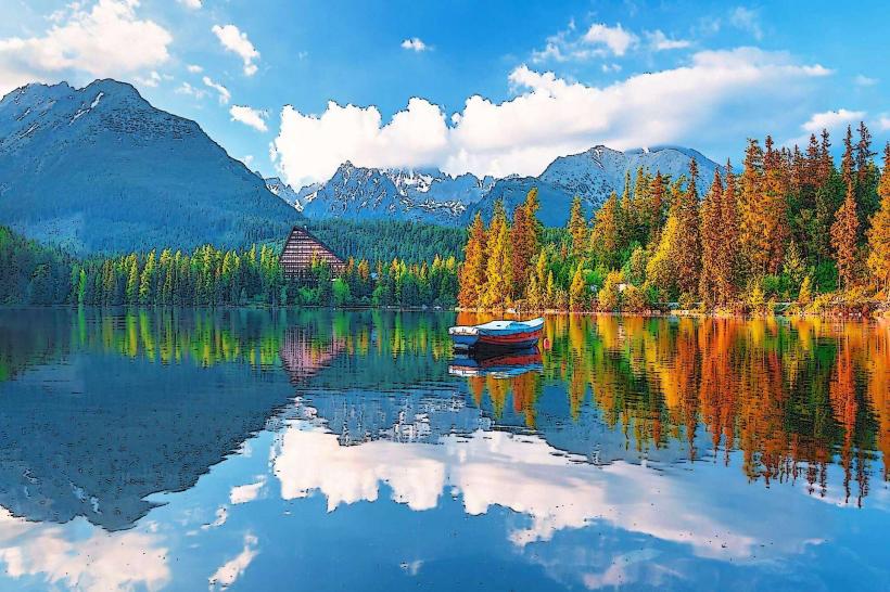
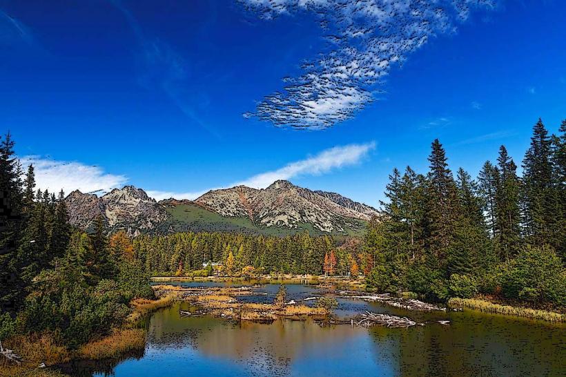
Popradské pleso (Lake): 4.2km South
Vysoká Peak: 1.8km Southwest
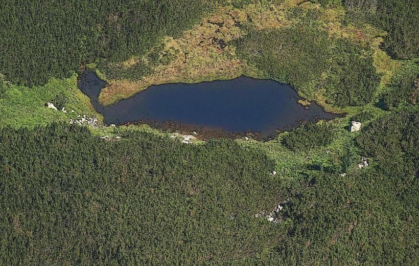
Žabie plesa (Lakes): 1.5km South