Information
Landmark: Vrbas River CanyonCity: Banja Luka
Country: Bosnia and Herzegovina
Continent: Europe
Vrbas River Canyon, Banja Luka, Bosnia and Herzegovina, Europe
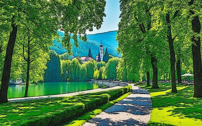
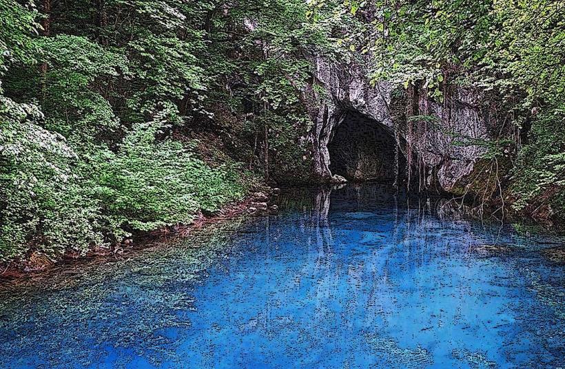
The Vrbas River Canyon is a protected natural area extending approximately 30km south of Banja Luka. It is characterized by steep limestone cliffs, turquoise water, and a series of dramatic bends, serving as the primary corridor for adventure tourism in Northern Bosnia.
Visual Characteristics
The canyon features vertical rock faces rising up to 300 meters above the riverbed. The water is emerald green and transitions between calm, deep pools and high-velocity Class III and IV rapids. The landscape is dominated by dense beech and hornbeam forests, with several natural stone bridges and caves visible from the water level.
Location & Access Logistics
Access: The canyon begins roughly 5km south of Banja Luka near the neighborhood of Karanovac and extends toward Krupa na Vrbasu.
Transit: The M-16 main road (Banja Luka – Jajce) runs directly through the canyon, offering multiple scenic pull-off points. Local buses toward Bočac or Jajce traverse this route frequently.
Activity Hubs: The main centers for river access are the Rafting Center Kanjon in Karanovac and the village of Krupa na Vrbasu.
Historical & Ecological Origin
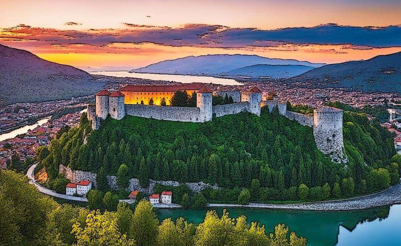
The Vrbas River cut this canyon through the limestone massifs of the Dinaric Alps over millions of years. Historically, the canyon was a strategic military bottleneck, defended by a chain of medieval fortresses (Grebun, Bočac, and Zvečaj). Ecologically, the area is a "relic" habitat, hosting several endemic plant species that survived the last ice age due to the specific microclimate of the deep gorge.
Key Highlights & Activities
Rafting and Kayaking: The canyon hosted the World Rafting Championship (2009 and 2024). The "Bijeli Buk" rapid is the most famous technical section.
Night Rafting: One of the few locations globally with a fully illuminated river section for nighttime excursions.
Rock Climbing: The "Tijesno" section offers over 100 bolted climbing routes on high-quality limestone.
The Krupa Waterfalls: Located at the confluence of the Krupa and Vrbas, featuring traditional active watermills.
Infrastructure & Amenities
The canyon is well-serviced by riverside restaurants and specialized sports clubs. The road through the canyon is paved but narrow with frequent tunnels; drivers should exercise caution due to rockfall risks. 4G/5G cellular signal is generally available but can be lost in the deepest sections of the "Tijesno" gorge. Public restrooms are available at gas stations and restaurants along the M-16.
Best Time to Visit
May to September: Peak season for water sports and optimal water temperatures.
Spring: Best for seeing the river at its most powerful due to snowmelt.
October: Highly recommended for photography as the deciduous forests change color against the turquoise water.
Facts & Legends
The canyon is home to the "Stone Bridge" (Kameni Most), a natural geomorphological phenomenon where erosion has created a massive stone arch over a mountain ridge. Legend states the arch was formed by a giant who stepped across the canyon, though it is actually the result of wind and water erosion of the limestone.
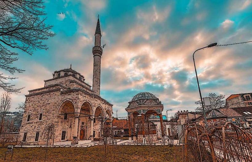
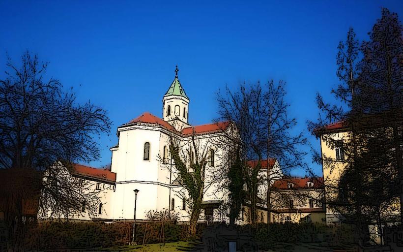
Nearby Landmarks
Krupa na Vrbasu Waterfalls – 25km South of Banja Luka
St. Elias Monastery (Krupa) – 26km South
Zvečaj Fortress Ruins – 20km South
Bočac Hydroelectric Lake – 45km South
Manjača Plateau – 15km West (via mountain roads)