Information
City: MorobeCountry: Papua New Guinea
Continent: Australia
Morobe, Papua New Guinea, Australia
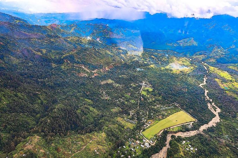
Lae is the capital of Morobe Province and serves as the primary industrial engine and largest cargo port of Papua New Guinea. It is situated on the northern coast of the Huon Gulf, near the delta of the Markham River, functioning as the gateway to the Highlands region.
Historical Timeline
Lae was declared a town on March 31, 1931, during the regional gold rush era. Primary governance eras include German colonial rule (1884–1914), Australian administration, and a period of Japanese occupation during WWII (1942–1943). Significant architectural reconstruction occurred after September 16, 1943, following the Allied liberation of the town, which had been almost entirely leveled by aerial bombardment. The primary event shaping the current urban form was the post-war development of the Highlands Highway in the 1950s and 60s, which transformed Lae from a mission and aviation outpost into a national logistics hub.
Demographics & Population
The total population within city limits is approximately 149,000, with the Morobe Province exceeding 675,000 residents. The top three demographics are the indigenous Ahi people, Highlands migrants (primarily Western and Southern Highlands), and a significant Sepik minority. The median age of the population is 21.2 years.
Urban Layout & Key Districts
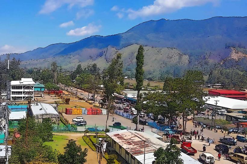
Lae is organized along a grid concentrated between the Markham River and the Bumbu River. The three most critical districts are Top Town (the administrative and financial center, located on a plateau overlooking the gulf), Eriku (the commercial and transport hub, located North-Central), and Voco Point (the maritime and industrial district, located Southeast).
Top City Landmarks
Lae War Cemetery
National Botanic Gardens
Rainforest Habitat (Unitech)
Mount Lunaman (observation point)
Amelia Earhart Memorial
Transportation Network
Movement within the city relies on PMVs (Public Motor Vehicles), which are numbered buses covering specific routes. There is no metro or tram system. Primary ride-sharing services like Uber are unavailable; local transport is supplemented by the "Tulait-Tulait" bus services for long-distance travel. Official taxis are typically white sedans with prominent "Taxi" signage and company phone numbers. Traffic density is high at the "Main Market" and Eriku junctions.
Safety & "Red Zones"
The safety level is low; violent crime and civil unrest occur frequently. Explicitly avoid the Miles areas (4-Mile, 6-Mile, etc.) and the "back-road" settlements after dusk. Common scams include "street gold" sales (fake gold dust) and unauthorized toll collection on the Highlands Highway. Use of private security or chauffeured hotel vehicles is standard for international visitors.
Digital & Financial Infrastructure
Internet speeds average 10–20 Mbps via 4G/LTE. Main mobile carriers are Digicel and Telikom PNG. Card acceptance is high in hotels and major supermarkets but non-existent in local markets. ATMs are located in "Top Town" and Eriku, though they are frequently guarded by armed security.
Climate & Air Quality
Temperatures range from 24°C to 32°C year-round. Air quality is generally acceptable but worsens near the industrial zones and the port. Lae is known for extreme rainfall, averaging 4,500mm annually; the wettest period occurs from May to October, contrary to the rest of the country.
Culture & Social Norms
Tipping is not required or expected. Handshakes are the standard greeting; avoid direct eye contact with elders as a sign of respect. Dress code is conservative; "lap-laps" or long trousers are preferred for men, and women should keep shoulders and knees covered. Alcohol consumption is strictly regulated, and public "dry" bans are frequently enforced during holidays or periods of unrest.
Accommodation Zones
Top Town: Stay here for logistical proximity to banks, government offices, and better security.
University/Unitech area: Stay here for a quieter, campus-style environment with access to the Rainforest Habitat.
Local Cost Index
1 Espresso: 12.00 PGK ($3.15)
1 Standard Lunch: 45.00 PGK ($11.85)
1 PMV/Bus Ticket: 1.50 PGK ($0.40)
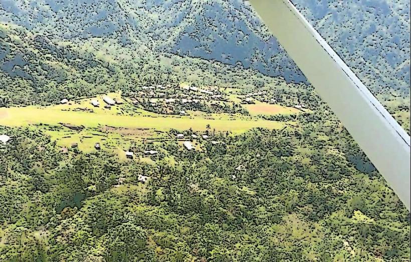
Nearby Day Trips
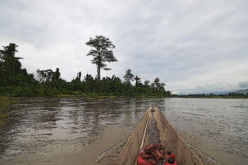
Salamaua Peninsula: 35 km (1 hour by boat)
Labu Lakes: 5 km (20 minutes by boat)
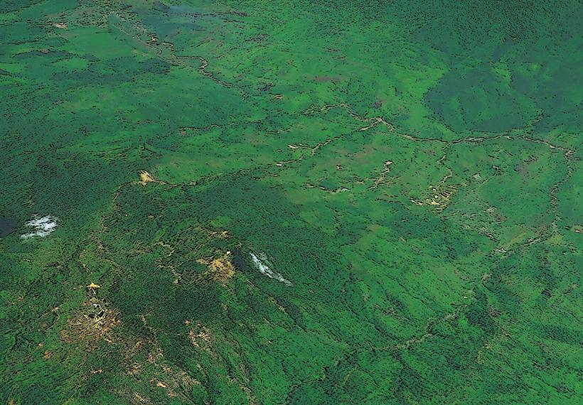
Wau/Bulolo: 120 km (2 hours by 4WD vehicle)
Finschhafen: 100 km (2 hours by fast ferry)
Facts & Legends
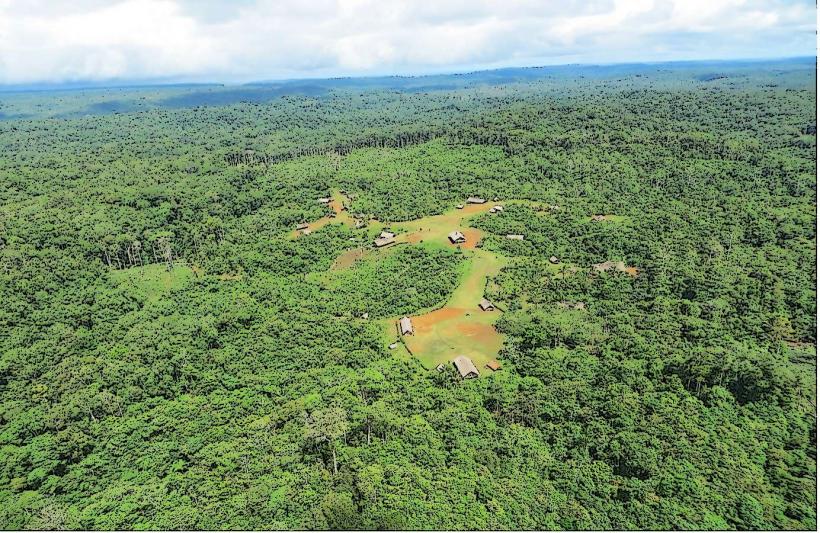
Lae was the final departure point for American aviator Amelia Earhart on July 2, 1937, before she disappeared over the Pacific. Local urban legend suggests her plane may still be submerged in the deep waters of the Huon Gulf. Additionally, the Wantoat people of the Morobe interior maintain the "Takwan" legend, a system of secret knowledge and creation myths believed to be protected by ancestral spirits residing in the Finisterre Range.