Information
City: Nuwara EliyaCountry: Sri Lanka
Continent: Asia
Nuwara Eliya, Sri Lanka, Asia
Nuwara Eliya serves as the administrative capital of the Nuwara Eliya District in the Central Province of Sri Lanka. Situated at an elevation of $1,889$ meters, it is the highest city in the country and the center of the nation's tea production industry.
Historical Timeline
Founded in 1846 by Samuel Baker, the city was developed by the British as a hill station and retreat from the tropical heat of the lowlands. It earned the nickname "Little England" due to its climate and the introduction of British pastimes such as fox hunting, polo, and golf. The city remains a significant cultural relic of the colonial plantation era.
Demographics & Population
The city has a population of approximately 27,500. The demographic is a mix of Sinhalese, Sri Lankan Tamils (many descend from Indian Tamils brought to work on tea estates), and Moors. The economy is driven by tea cultivation, vegetable farming, and mountain tourism.
Urban Layout & Key Districts
The city is nestled in a valley beneath Piduruthalagala, the island's highest peak.
City Center: A dense commercial area featuring the historic Post Office and central market.
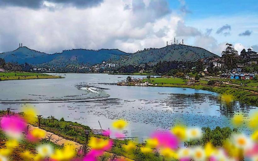
Lake Gregory Area: The primary recreation zone featuring water sports and parks.
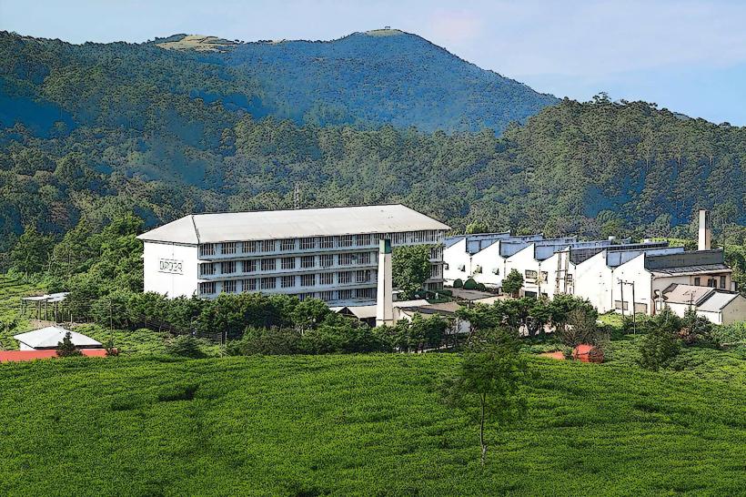
The Tea Estates: Vast rolling plantations such as Pedro and Mackwoods that surround the urban core.
Kandapola: A high-altitude suburb known for luxury tea factory conversions.
Top Landmarks
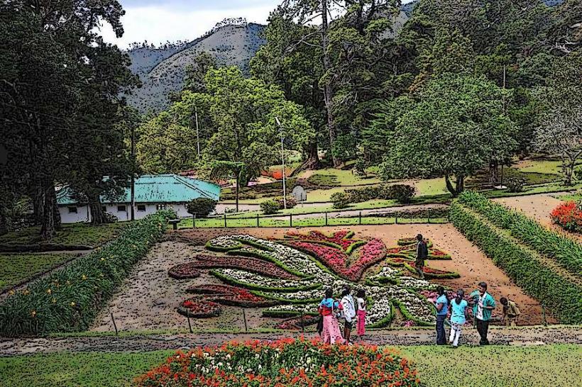
Victoria Park: A well-maintained urban park known for rare bird species and flora.
Lake Gregory: A man-made reservoir used for boating and jet-skiing.
Nuwara Eliya Golf Club: One of the oldest golf clubs in Asia, established in 1889.
The Hill Club: A historic colonial-era hotel and private club maintaining strict dress codes.
Pedro Tea Estate: A working factory offering tours of the tea processing cycle.
Post Office: A Tudor-style red brick building constructed in 1894.
Transportation Network
Rail: The city is served by the Nanu Oya Railway Station (8 km away). It is a critical stop on the scenic Main Line.
Road: Accessible via the A5 highway. The mountain roads are characterized by steep inclines and hairpin bends.
Public Transit: Frequent bus services connect to Kandy and Hatton. Local transit relies on three-wheeled tuk-tuks.
Safety & "Red Zones"
Nuwara Eliya is exceptionally safe regarding crime.
Visibility: Heavy fog and mist can occur suddenly, creating hazardous driving conditions on mountain passes.
Temperature: Hypothermia is a risk for unprepared hikers; night temperatures can drop below 5°C.
Leeches: Prevalent on tea estate paths and forest trails; use leech socks or repellent.
Digital & Financial Infrastructure
4G/LTE coverage is robust in the city center but intermittent in deep valleys and remote estates. The currency is the Sri Lankan Rupee (LKR). ATMs are concentrated in the city center (Commercial Bank, HNB). Credit cards are accepted in major hotels and supermarkets.
Climate & Air Quality
Subtropical highland climate. It is the coolest region in Sri Lanka, with frequent rainfall and mist. Air quality is the highest in the country due to the elevation and lack of heavy industry.
Culture & Social Norms
The culture is a blend of traditional Tamil estate traditions and British colonial heritage.
Dress: Unlike the rest of Sri Lanka, warm clothing (jackets/sweaters) is mandatory.
Etiquette: Conservative dress is expected in public. Some historic clubs still require formal attire for dinner.
Season: April is the "Season," coinciding with the Sinhala and Tamil New Year, featuring horse racing and flower shows.
Local Cost Index (LKR)
1 Espresso: 600–900 LKR
1 Standard Lunch: 450–1,200 LKR
1 Tuk-Tuk Ride (to Nanu Oya): 800–1,200 LKR
Nearby Day Trips
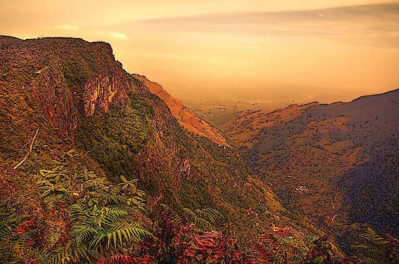
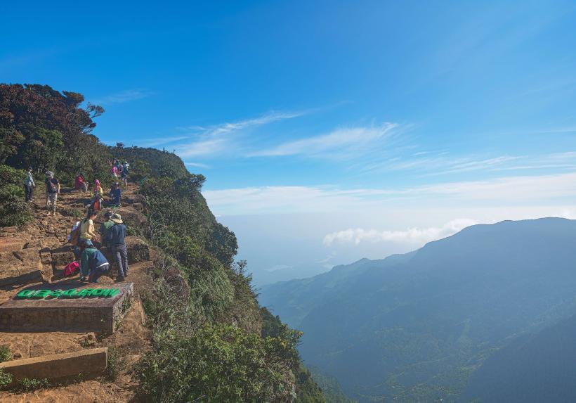
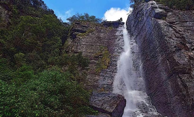
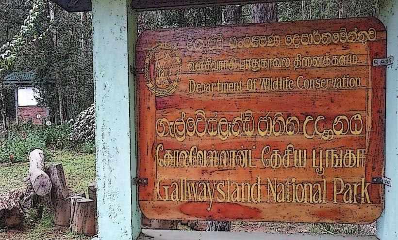
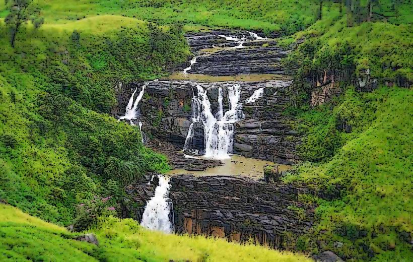
Horton Plains National Park: 1 hour south; home to "World’s End" precipice and Baker’s Falls.
Hakgala Botanical Garden: 15 minutes south; the second largest botanical garden in Sri Lanka.
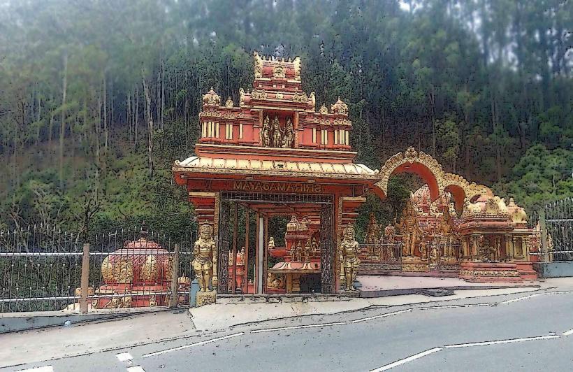
Seetha Amman Temple: 10 minutes south; a colorful Hindu temple linked to the Ramayana legend.
Piduruthalagala: The summit is a high-security military zone; road access is occasionally permitted for views but hiking is restricted.
Facts & Legends
Legend states that the Seetha Eliya area is where the goddess Seetha was held captive by Ravana in the Ramayana. A geographic fact: Nuwara Eliya’s "Ceylon Tea" is distinct because the high altitude and cool climate slow leaf growth, resulting in a lighter, more aromatic "champagne" tea. Historically, the city was the only place in Sri Lanka where trout were successfully introduced into the mountain streams for fly-fishing.