Information
City: PaluCountry: Indonesia
Continent: Asia
Palu, Indonesia, Asia
Palu is the capital of the Central Sulawesi province, situated at the mouth of the Palu River on a narrow bay. It is geologically unique, being one of the driest cities in Indonesia despite its tropical location, and sits directly atop the highly active Palu-Koro fault.
Historical Timeline
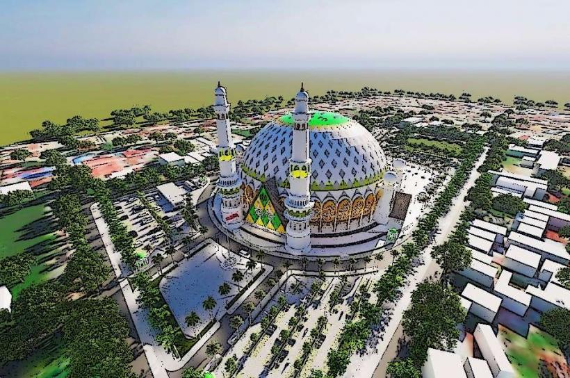
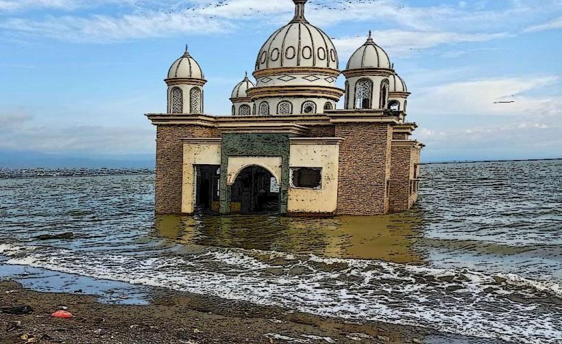
Palu was originally a cluster of small kingdoms, including the Palu Sultanate. It became a Dutch administrative center in the early 20th century. The city gained global attention on September 28, 2018, when a $7.5$ magnitude earthquake triggered a devastating localized tsunami and rare soil liquefaction that destroyed entire neighborhoods (Balaroa and Petobo). The city has since undergone a massive reconstruction and relocation effort.
Demographics & Population
The population is approximately 390,000. The demographic is a mix of the indigenous Kaili people, as well as Bugis, Javanese, and Gorontalo migrants. The economy is primarily driven by agriculture (cacao and cloves), regional government services, and its growing role as a logistics hub for the province's mineral wealth.
Urban Layout & Key Districts
Palu City Center: Located on the eastern side of the bay, housing government offices and shopping centers.
Taman Ria: The coastal area once famous for sunset views, heavily reshaped by post-tsunami sea wall construction.
Balaroa & Petobo: Former residential districts; now largely preserved as memorial sites due to the 2018 liquefaction.
The Highlands: Rapidly developing residential areas on the slopes surrounding the city, preferred for their safety from tsunamis.
Top Landmarks
Palu Nomoni: The coastal promenade area (currently undergoing redevelopment).
Sou Raja: The traditional wooden palace of the local Kaili royalty.
Nosarara Nosabatutu: A peace monument located on a hill overlooking the city and bay.
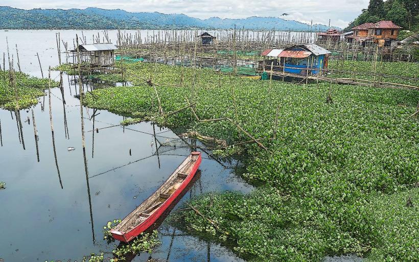
Talo River Estuary: A popular spot for observing local wildlife, though currently notable for its resident crocodiles.
Central Sulawesi Museum: Features ethnographic displays of the diverse tribes of the region.
Transportation Network
Air: Mutiara SIS Al-Jufrie Airport (PLW) is the main gateway, connecting the city to Makassar, Jakarta, and Balikpapan.
Sea: Pantoloan Port is the deepest port in the region and a major stop for PELNI passenger ships.
Road: The Trans-Sulawesi Highway connects Palu to Makassar (south) and Manado (north).
Local Transit: Gojek and Grab are the primary modes. Traditional Angkot (minibuses) serve specific city routes.
Safety & "Red Zones"
Seismic Activity: Palu is in a high-risk zone for earthquakes. Familiarize yourself with evacuation routes to higher ground.
Crocodiles: The Palu River and the edges of the bay have a significant population of saltwater crocodiles. Avoid swimming in open water and stay away from the riverbanks at night.
Heat: Palu is significantly drier and hotter than other Indonesian cities; sun protection is essential.
Digital & Financial Infrastructure
4G/5G coverage is stable in the city center. The currency is the Indonesian Rupiah (IDR). ATMs are abundant in the main commercial areas. QRIS is accepted in modern retail outlets, but cash is required for local markets and small warungs.
Climate & Air Quality
Tropical Savannah climate. Due to the surrounding mountains, Palu is in a rain shadow, receiving the lowest rainfall of any provincial capital in Indonesia. Air quality is generally good due to constant mountain and sea breezes.
Culture & Social Norms
Kaili Culture: The indigenous culture is famous for its traditional weaving (Tenun Bomba) and the Pontanu dance.
Resilience: The local population is highly focused on disaster preparedness following the 2018 events.
Cuisine: Famous for Kaledo (spicy bone marrow soup) and Uta Dada (smoked chicken or fish in coconut milk).
Local Cost Index (IDR)
1 Espresso: 20,000–35,000 IDR
1 Standard Lunch (Kaledo): 35,000–60,000 IDR
1 Short Taxi Ride: 30,000–50,000 IDR
Nearby Day Trips
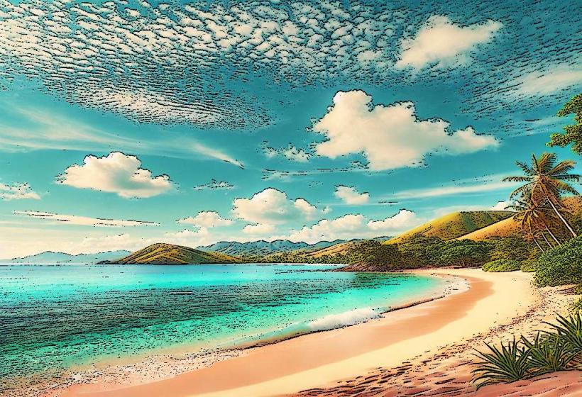
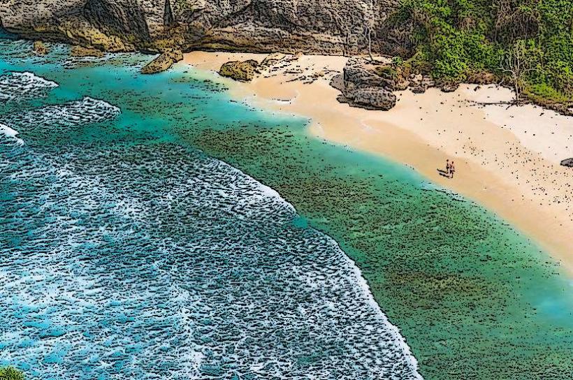
Tanjung Karang Beach: 1 hour north (Donggala); famous for white sand and coral reefs.
Lore Lindu National Park: 2–3 hours south; a UNESCO Biosphere Reserve featuring ancient megalithic statues and diverse birdlife.
Facts & Legends
Legend says the name "Palu" comes from Topalu'e (the land that rose), referring to the geological uplift of the valley. A geographic fact: The Palu-Koro fault moves at a rate of approximately $30$–$40$ mm per year, one of the fastest slip rates in the world. Historically, the city was a major stop on the maritime trade route for ebony wood.