Information
Landmark: Arusha National ParkCity: Arusha
Country: Tanzania
Continent: Africa
Arusha National Park, Arusha, Tanzania, Africa
Arusha National Park is a protected area located in northern Tanzania, situated east of the city of Arusha.
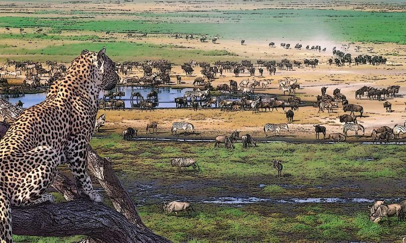
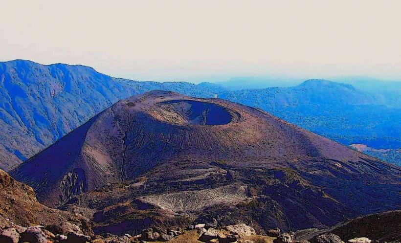
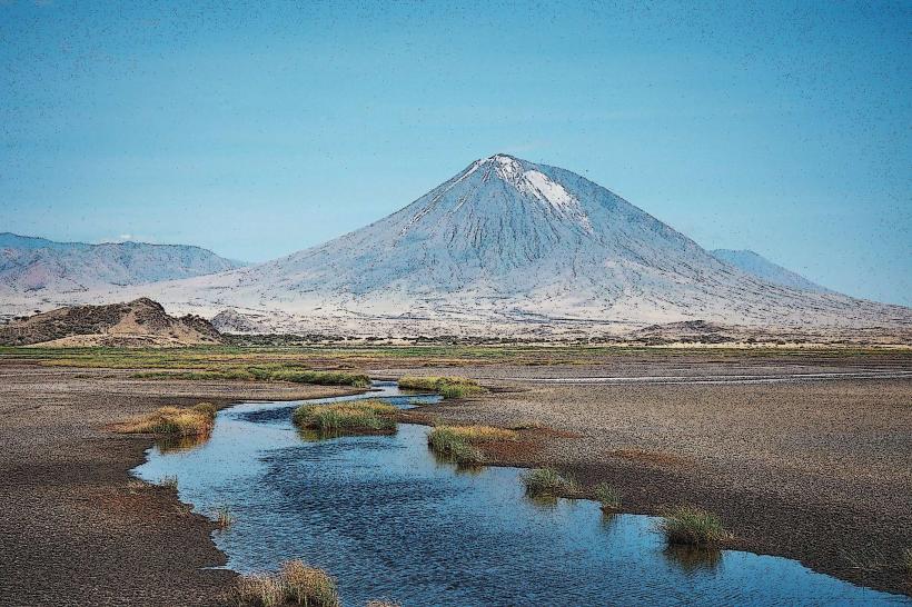
The park encompasses diverse landscapes, including Mount Meru, the Momella Lakes, and the Ngurdoto Crater.
Visual Characteristics
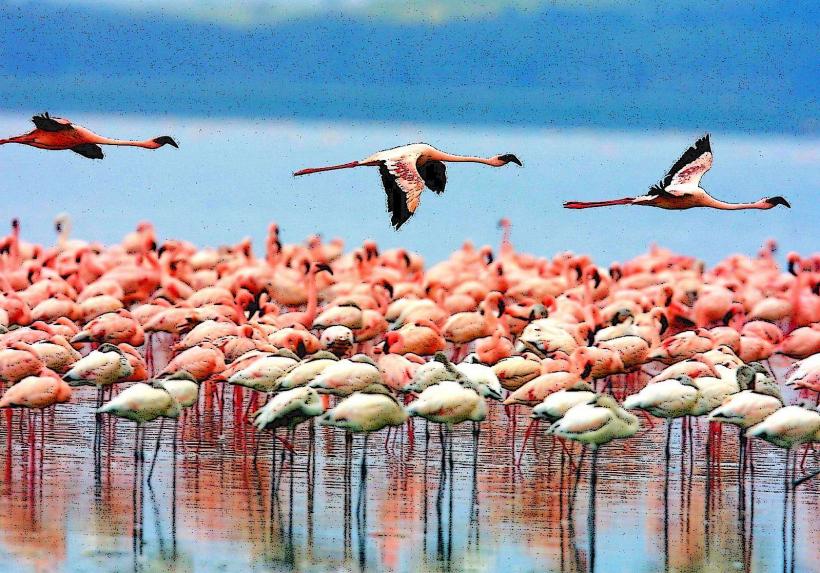
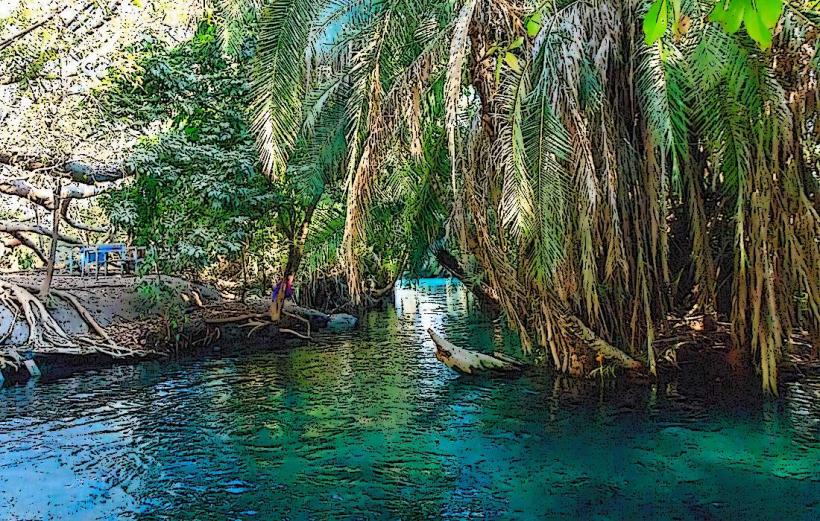
The park's topography ranges from montane forest on the slopes of Mount Meru to alkaline lakes and savanna grasslands. Mount Meru is a dormant stratovolcano with a caldera and ash cone. The Momella Lakes are a series of seven shallow lakes, each with a distinct color due to differing algae content, ranging from green to turquoise. The Ngurdoto Crater is a steep-sided volcanic crater with a dense forest floor.
Location & Access Logistics
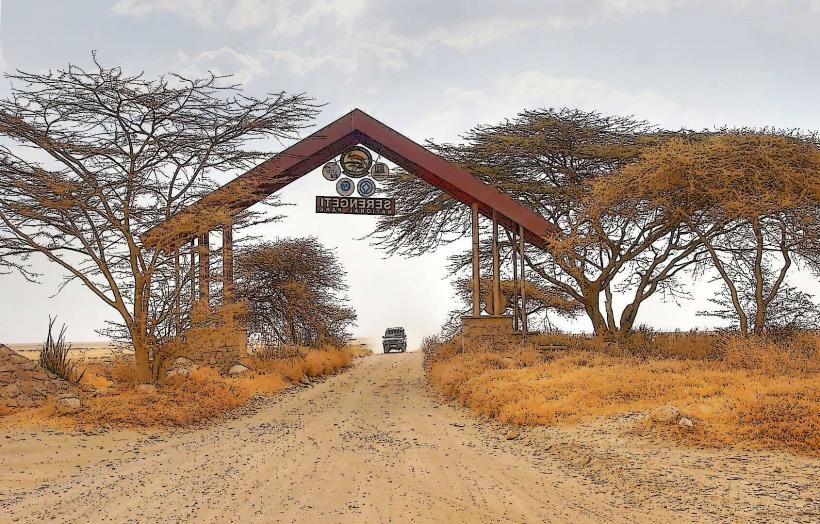
Arusha National Park is approximately 25 kilometers east of Arusha city center. Access is via the main road connecting Arusha to Usa River. From Usa River, follow signs for the park entrance. The main gate is the Momella Gate for lake access and the Ngurdoto Gate for crater access. Driving time from Arusha is approximately 45 minutes to 1 hour. There is designated parking available at various points within the park, including near ranger posts and picnic sites. Public transport to Usa River is available via daladalas (minibuses) from Arusha's main bus terminal. From Usa River, private taxis or pre-arranged transport are required to reach the park gates.
Historical & Ecological Origin
Arusha National Park was established in 1960. It is primarily a natural conservation area, with Mount Meru being a significant geological feature formed by volcanic activity. The Momella Lakes are a result of geological processes in the rift valley system. The park protects a variety of ecosystems, including montane forest, savanna, and wetlands, supporting a wide range of flora and fauna.
Key Highlights & Activities
Activities include guided walking safaris around Mount Meru and the Ngurdoto Crater rim. Canoeing on the Momella Lakes is available, offering close proximity to water birds and mammals. Game drives are conducted on designated tracks, focusing on areas around the lakes and the base of Mount Meru. Hiking trails are present on Mount Meru, requiring permits and guides. Birdwatching is a significant activity, with over 400 bird species recorded.
Infrastructure & Amenities
Restrooms are located at the main park gates and designated picnic sites. Shade is available in forested areas and at picnic sites. Cell phone signal (4G/5G) is intermittent and generally not reliable within the park, especially in denser vegetation or lower-lying areas. There are no food vendors within the park; visitors must carry their own food and water. Accommodation options are limited to campsites within the park and lodges outside the park boundaries.
Best Time to Visit
The best time for game viewing is during the dry seasons, from June to October and December to February. For birdwatching, the wet seasons (March to May and November) can be productive. The best time of day for photography is early morning and late afternoon, when the light is softer and animals are more active. High tide is not a relevant factor for visiting this park.
Facts & Legends
Mount Meru is considered a sacred mountain by the Meru people, who believe it is inhabited by ancestral spirits. The park is the only place in Tanzania where the colobus monkey can be reliably seen. A specific tip for visitors is to explore the trails around the Ngurdoto Crater rim for panoramic views and potential wildlife sightings, particularly during the early morning hours.
Nearby Landmarks
- Kilimanjaro National Park (40km Northeast)
- Meserani Snake Park (20km Southwest)
- Shira Plateau (part of Kilimanjaro, 50km Northeast)
- Materuni Waterfalls (45km Northeast)
- Marangu Gate (Kilimanjaro, 55km Northeast)