Information
Landmark: Dray Nur WaterfallCity: Dak Lak
Country: Vietnam
Continent: Asia
Dray Nur Waterfall, Dak Lak, Vietnam, Asia
Dray Nur Waterfall is a significant natural cascade located in the Dak Lak Province of Vietnam. It is one of the largest and most impressive waterfalls in the region.
Visual Characteristics
The waterfall features a wide, multi-tiered cascade with water flowing over a broad expanse of dark, volcanic rock. The water itself is typically a clear, light brown or green, depending on recent rainfall. The surrounding vegetation is dense tropical forest, characterized by tall trees and thick undergrowth. The primary drop is approximately 30 meters high, with numerous smaller cascades and pools forming along its descent.
Location & Access Logistics
Dray Nur Waterfall is situated approximately 25 kilometers southwest of Buon Ma Thuot city center. Access is via National Highway 14, turning onto Provincial Road 02 towards the waterfall. The final approach involves a short drive on a well-maintained dirt road. Parking is available at the entrance to the site, with a small fee typically charged. Public transport options directly to the waterfall are limited; however, local buses run from Buon Ma Thuot to nearby villages, from which a taxi or motorbike taxi can be hired for the remaining distance.
Historical & Ecological Origin
The waterfall is a natural formation, sculpted over millennia by the Serepok River eroding the basaltic rock of the Central Highlands. The area is part of the larger ecosystem of the Central Highlands, known for its biodiversity and unique geological features, including extensive volcanic activity in its geological past.
Key Highlights & Activities
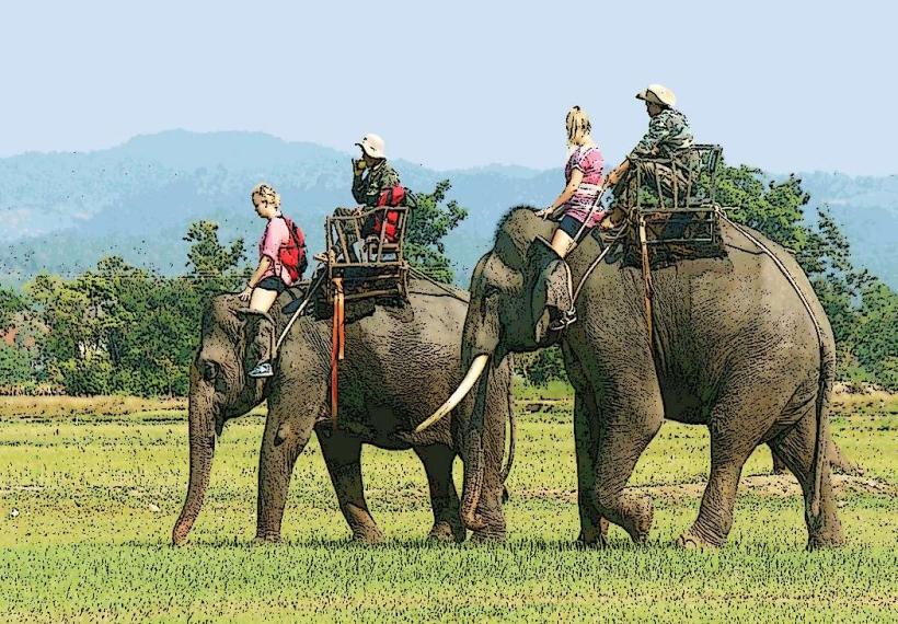
Visitors can walk behind the curtain of water at the base of the main cascade, providing a unique perspective. Swimming is permitted in designated pools at the foot of the waterfall, though caution is advised due to currents. Observation platforms offer elevated views of the falls. Hiking trails are present in the surrounding forest, allowing exploration of the natural environment.
Infrastructure & Amenities
Restrooms are available at the entrance area. Shade is provided by the natural tree canopy and some constructed shelters. Cell phone signal (4G) is generally available at the entrance and main viewing areas. Food vendors and small restaurants are located near the parking lot, offering local Vietnamese cuisine.
Best Time to Visit
The best time of day for photography is generally in the late morning or early afternoon when sunlight can illuminate the water spray. The dry season, from November to April, offers the most stable weather conditions and clearer water. During the rainy season (May to October), the water flow is significantly increased, making the waterfall more powerful but potentially obscuring visibility and increasing safety concerns in swimming areas.
Facts & Legends
Local legend states that the waterfall is named after a beautiful young woman who drowned in its waters after being separated from her lover. Another notable fact is that the waterfall is part of a system of cascades along the Serepok River, with Dray Sap Waterfall located a short distance upstream.
Nearby Landmarks
- Dray Sap Waterfall (0.5km Northwest)
- Buon Ma Thuot City Center (25km Northeast)
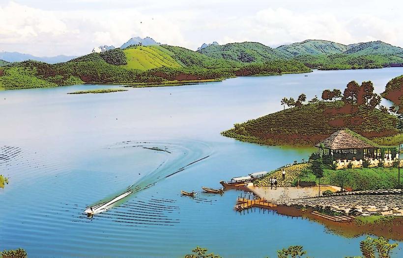
- Lak Lake (40km Southwest)
- Yok Don National Park (50km West)