Information
Landmark: Fairy StreamCity: Mui Ne
Country: Vietnam
Continent: Asia
Fairy Stream, Mui Ne, Vietnam, Asia
Fairy Stream is a shallow stream flowing through Mui Ne, Vietnam. It is characterized by its unique red and white sand formations.
Visual Characteristics
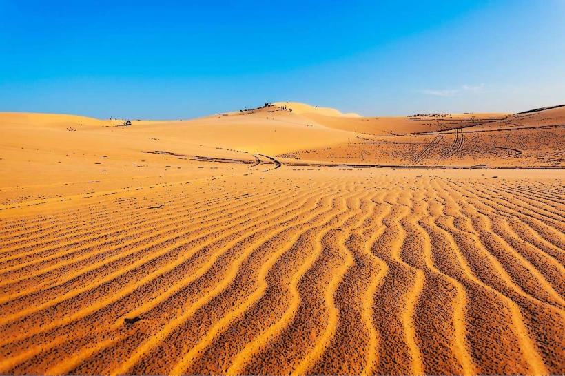
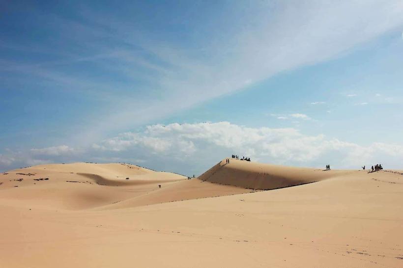
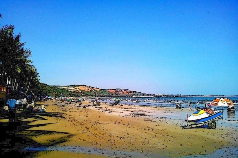
The stream bed consists of fine, colored sand, predominantly red and white, with some areas exhibiting a light brown hue. The water is shallow, typically reaching ankle to knee depth for an adult. The banks are lined with sparse vegetation, including palm trees and scrub brush. The surrounding landscape features eroded sandstone cliffs and dunes.
Location & Access Logistics
Fairy Stream is located approximately 3 kilometers south of the Mui Ne town center. Access is via Nguyen Dinh Chieu Street, turning onto Huynh Thuc Khang Street, and then following signs for Suoi Tien. Parking is available at the stream entrance, typically a small lot managed by local vendors. No public transport directly serves the stream entrance; taxis or private vehicles are the primary means of arrival.
Historical & Ecological Origin
The geological formation of Fairy Stream is attributed to the erosion of sandstone cliffs and dunes over an extended period by water flow. The distinct coloration of the sand is due to mineral content within the sediment.
Key Highlights & Activities
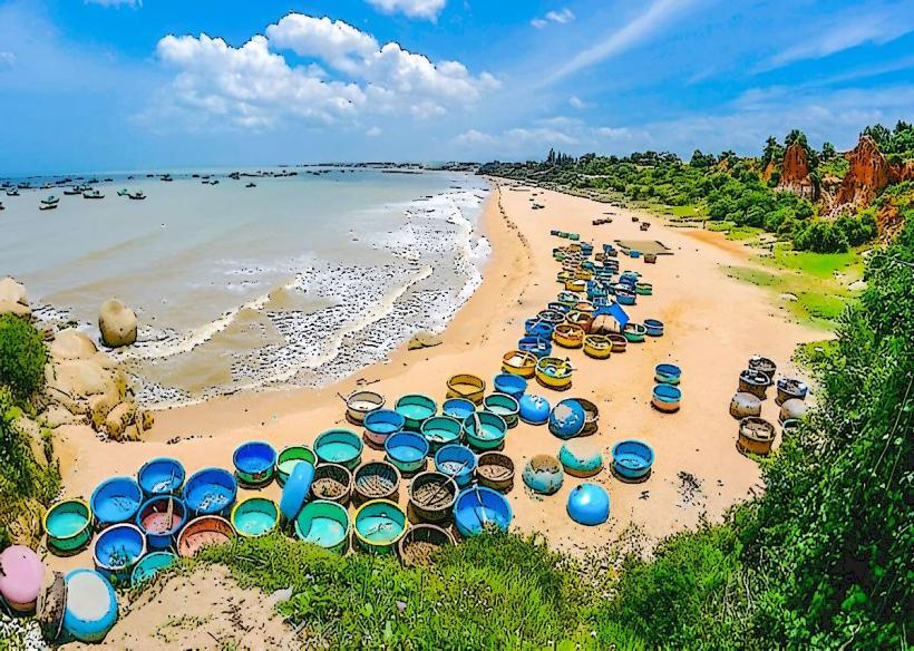
Wading through the stream is the primary activity. Visitors can walk upstream for approximately 1 kilometer. Local vendors offer small souvenirs and refreshments at the entrance.
Infrastructure & Amenities
Restrooms are available at the stream entrance, operated by local vendors. Limited shade is provided by natural vegetation and vendor stalls. Cell phone signal (4G) is generally available. Food vendors are present at the stream entrance, offering snacks and drinks.
Best Time to Visit
The best time of day for visiting is early morning or late afternoon to avoid the peak sun intensity. The dry season, from November to April, offers the most consistent water levels and pleasant weather. The stream is accessible year-round.
Facts & Legends
Local folklore suggests the stream was formed by a fairy who, while bathing, caused the sand to shift and create the current formations. A practical tip is to wear footwear that can get wet and provides grip, as the sand can be slippery.
Nearby Landmarks
- Mui Ne Sand Dunes (Red) - 1.5km Northwest
- Mui Ne Sand Dunes (White) - 4km Northwest
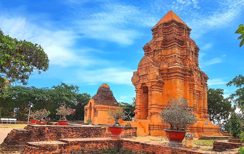
- Poshanu Cham Towers - 3km West
- Mui Ne Market - 2.5km North