Information
Landmark: Kolombangara IslandCity: Gizo
Country: Solomon Islands
Continent: Australia
Kolombangara Island, Gizo, Solomon Islands, Australia
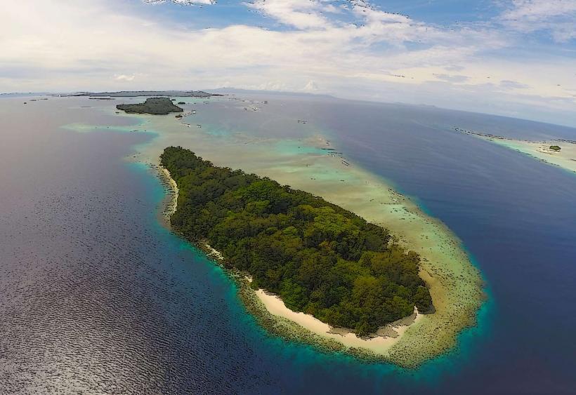
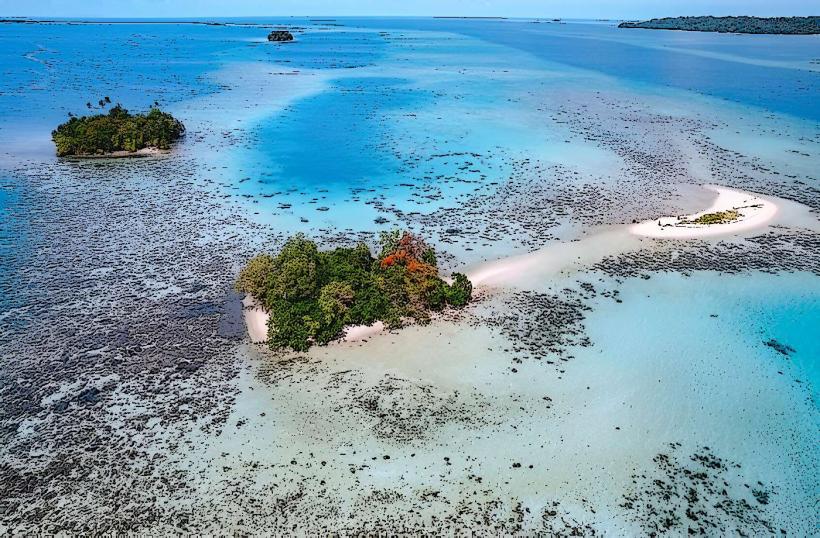
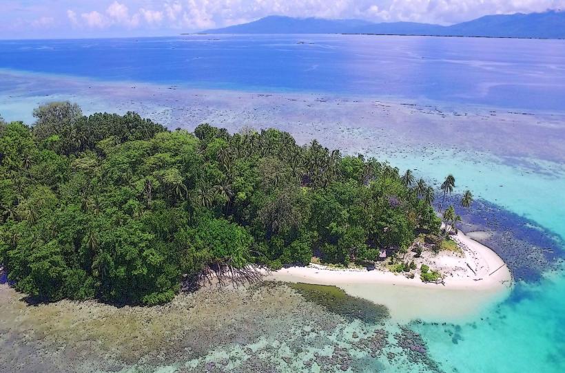
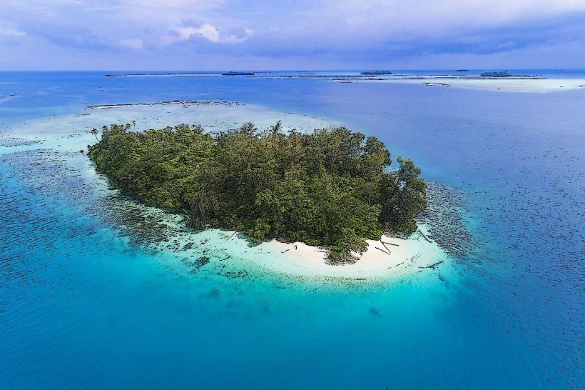
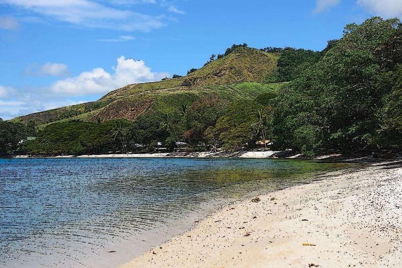
Kolombangara Island is a large, extinct volcano located in the Western Province of the Solomon Islands, situated approximately 15 kilometers west of Gizo.
Visual Characteristics
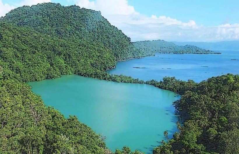
The island is characterized by its conical shape, rising to an elevation of 1,770 meters. Its slopes are covered in dense tropical rainforest, with a caldera at its summit. The coastline features a fringing reef system.
Location & Access Logistics
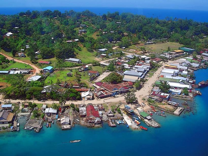
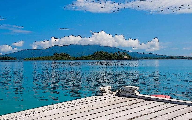
Access to Kolombangara Island is primarily via boat from Gizo. The journey takes approximately 45 minutes to 1 hour depending on sea conditions. There are no public roads on the island, and transport is typically arranged through local boat operators or tour companies based in Gizo. Limited docking facilities exist at specific points along the coast.
Historical & Ecological Origin
Kolombangara Island is a stratovolcano, formed by volcanic activity over millions of years. Its last known eruption is estimated to have occurred thousands of years ago. Ecologically, it is classified as a significant biodiversity hotspot within the Solomon Islands, supporting a range of endemic flora and fauna.
Key Highlights & Activities
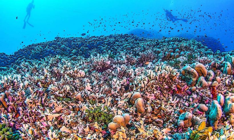
Hiking to the summit caldera is a primary activity, requiring a full day and a guide. Birdwatching is notable due to the island's diverse avian population. Limited opportunities for snorkeling and diving exist around the fringing reefs, particularly on the western and southern sides.
Infrastructure & Amenities
There are no public facilities or amenities on Kolombangara Island. Visitors must bring all necessary supplies, including food, water, and first-aid. Cell phone signal is generally absent across the island.
Best Time to Visit
The dry season, from May to October, offers the most favorable conditions for hiking and boat travel. The best time of day for photography is generally early morning or late afternoon, when light is less direct. High tide is not a critical factor for access, but calm seas are preferred for boat transfers.
Facts & Legends
Local folklore suggests the island is inhabited by spirits, and traditional customs dictate respectful behavior when venturing into its interior. A specific point of interest is the remains of a World War II aircraft, accessible via guided trek.
Nearby Landmarks
- Gizo Island (15km East)
- Vella Lavella Island (30km West)
- Ranongga Island (20km Southwest)
- Simbo Island (40km Southeast)