Information
Landmark: Komo IslandCity: Western Province
Country: Solomon Islands
Continent: Australia
Komo Island, Western Province, Solomon Islands, Australia
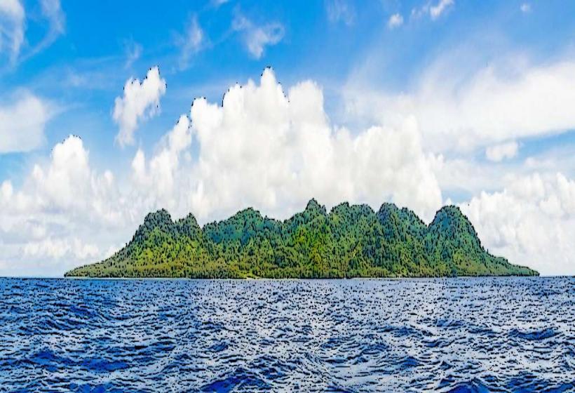
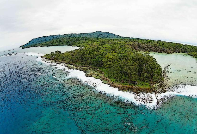
Komo Island is a landmass situated within the Western Province of the Solomon Islands.
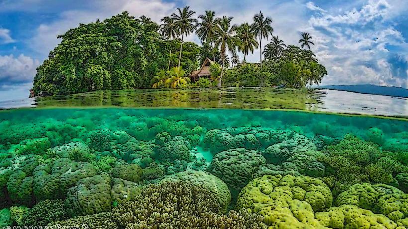
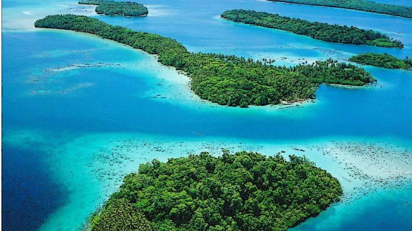
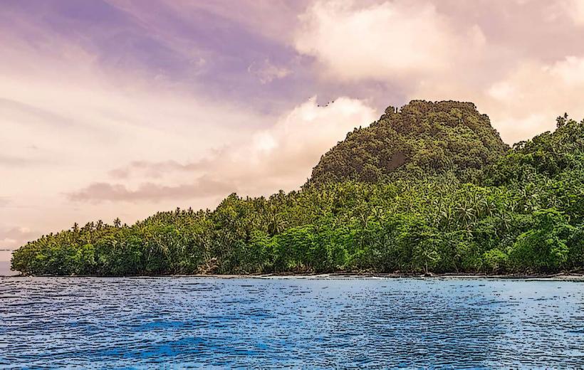
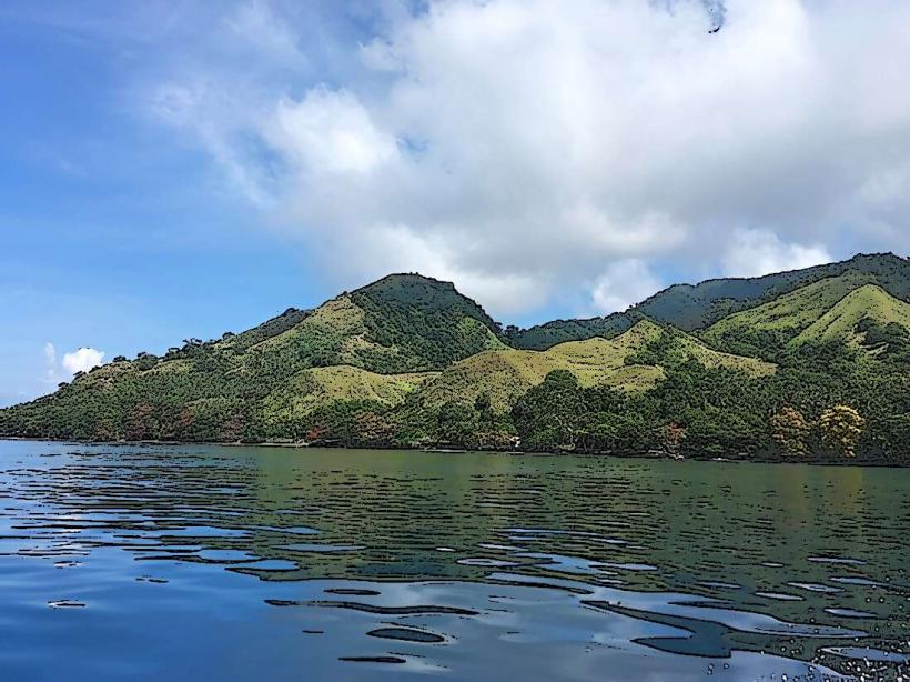
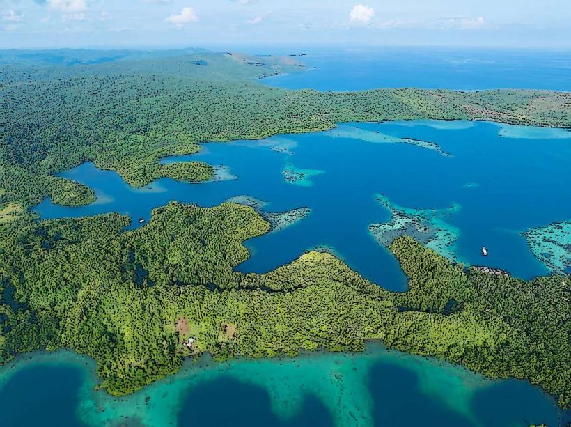
This island is characterized by its low-lying topography and fringing coral reefs.
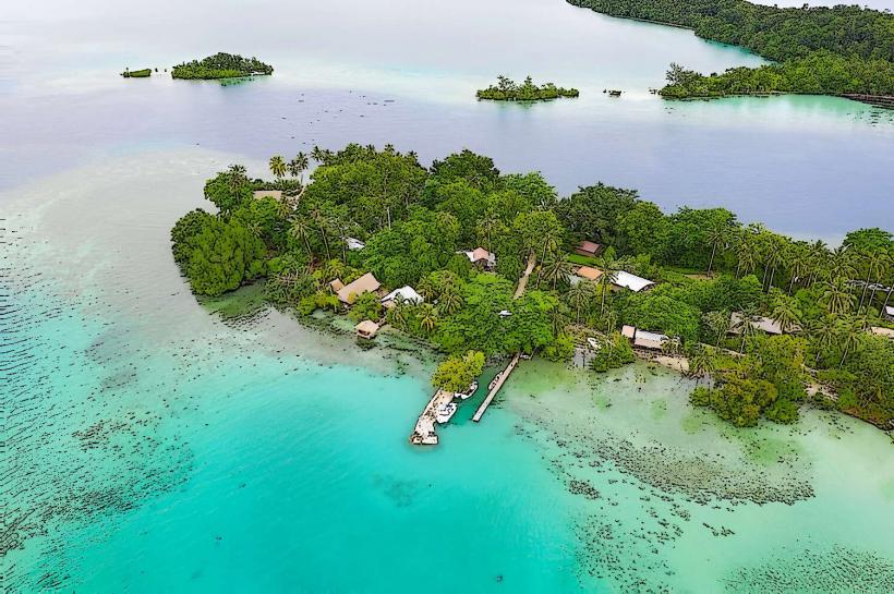
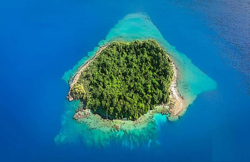
Visual Characteristics
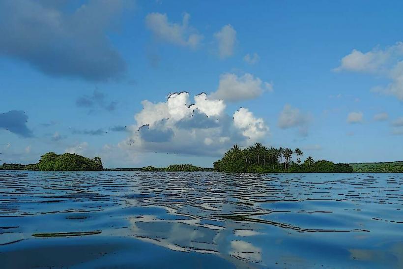
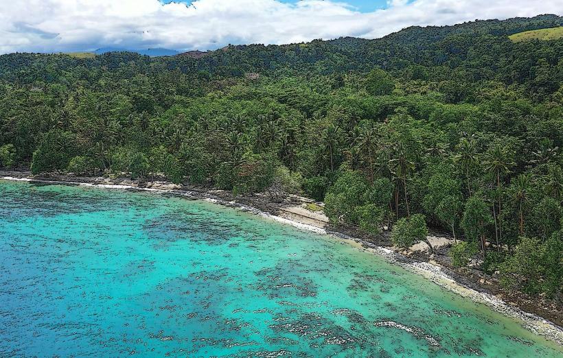
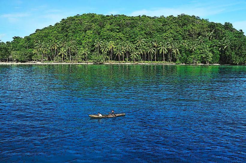
Komo Island consists of sandy beaches with a dense interior of coconut palms and other tropical vegetation. The surrounding waters exhibit clear turquoise hues, transitioning to deeper blues further offshore. Submerged coral formations are visible in shallow areas.
Location & Access Logistics
Komo Island is located approximately 150 kilometers northwest of Gizo, the provincial capital. Access is primarily via boat transfer from Gizo or other nearby inhabited islands. Private boat hire or scheduled local ferry services are the most common methods of transport. There are no established road networks or public transport on the island itself. Landing is typically on the beach.
Historical & Ecological Origin
Komo Island is a coral island, formed by the accumulation of coral polyps over geological time. Its ecological classification is that of a small tropical island with a fringing reef system, supporting a diverse marine ecosystem.
Key Highlights & Activities
Snorkeling and diving are possible around the coral reefs, particularly on the western and southern sides of the island. Beachcombing along the shoreline is a primary activity. Limited fishing opportunities exist in the surrounding waters.
Infrastructure & Amenities
There are no permanent structures or public amenities on Komo Island. Visitors should bring all necessary supplies, including water and food. Cell phone signal is generally unreliable.
Best Time to Visit
The dry season, from May to October, offers the most favorable weather conditions with reduced rainfall. The best time of day for underwater visibility is typically between 10:00 AM and 2:00 PM, when sunlight penetration is highest. Low tide can expose more of the reef structure.
Facts & Legends
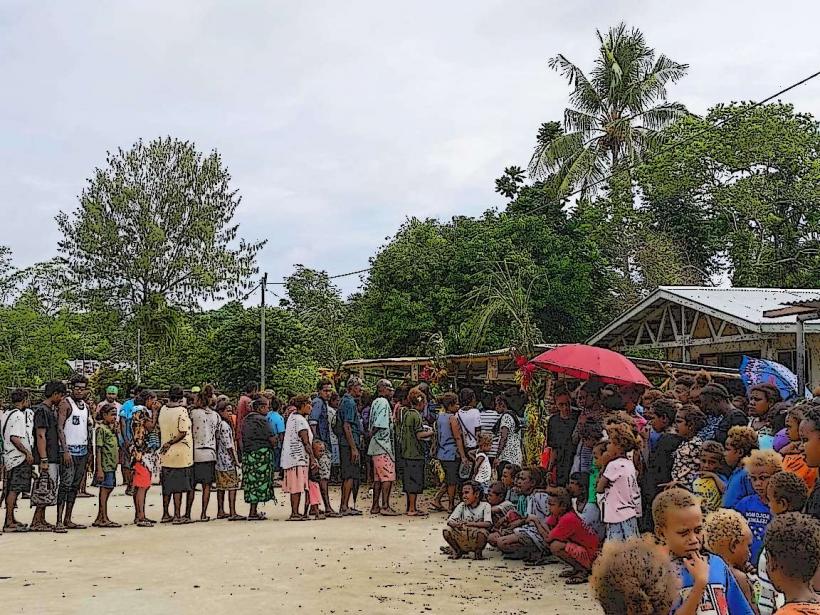
Local lore suggests that Komo Island was once inhabited by a specific clan who left behind certain ancestral markers, though these are not clearly defined or publicly documented. The island is primarily used as a temporary stopover or for resource gathering by people from larger nearby islands.
Nearby Landmarks
- Gizo Island (approx. 150km Southeast)
- Ranongga Island (approx. 70km West)
- Kolombangara Island (approx. 100km Southwest)