Information
Landmark: La Seybouse RiverCity: Annaba
Country: Algeria
Continent: Africa
La Seybouse River, Annaba, Algeria, Africa
La Seybouse River is a river located in the northeastern region of Algeria, flowing through the city of Annaba.
It serves as a significant watercourse for the region, impacting its geography and historical development.
Visual Characteristics
The river's width varies, averaging approximately 20-30 meters in the urban sections of Annaba. Its depth fluctuates seasonally, generally ranging from 1-3 meters. The water color is typically a murky brown due to sediment load, particularly after rainfall. The riverbanks are a mix of concrete embankments in developed areas and natural soil and vegetation further upstream and downstream. Vegetation along the banks consists of reeds, grasses, and scattered trees.
Location & Access Logistics
La Seybouse River flows directly through Annaba. Access points are numerous within the city. Major roads like Boulevard Colonel Lotfi run parallel to the river, providing road access. Parking is available along these boulevards, though it can be limited during peak hours. Public transport within Annaba, including local bus lines, serves areas adjacent to the river. No specific boat transfers are associated with the river itself for public access.
Historical & Ecological Origin
The river's geological origin is tied to the Atlas Mountains, with its headwaters originating in the Djebel Edough massif. It is a natural watercourse that has shaped the landscape for millennia. Historically, the river has been crucial for agriculture and settlement in the Annaba region. Its current course and flow have been influenced by both natural processes and human intervention, including canalization in urban areas.
Key Highlights & Activities
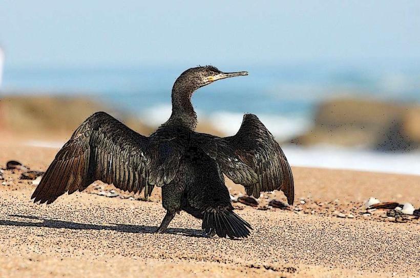
Observation of the river's flow and surrounding urban landscape is the primary activity. Birdwatching is possible along less developed sections of the riverbanks. Fishing is practiced by local residents, though regulations may apply. Walking or cycling along the promenades adjacent to the river is common.
Infrastructure & Amenities
In the urban areas of Annaba, concrete embankments and paved promenades line sections of the river. Public seating is available in parks adjacent to the river. Restrooms are generally found in nearby parks or commercial establishments. Cell phone signal (4G/5G) is consistently available in Annaba. Food vendors and cafes are present in the city center, accessible from riverfront areas.
Best Time to Visit
For photography, early morning or late afternoon offers softer light. The best months for weather are typically April to June and September to October, avoiding the summer heat and winter rains. The river's water level is highest during the winter and spring months (November to April) and lowest in late summer (August).
Facts & Legends
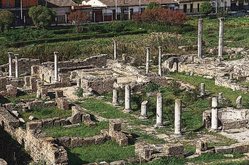
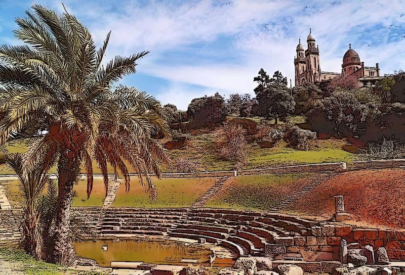
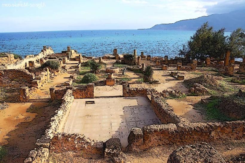
A historical oddity is the presence of Roman ruins, including remnants of aqueducts, in the vicinity of the river's historical course, indicating its importance to ancient settlements. Local folklore sometimes associates the river with protective spirits of the land.
Nearby Landmarks
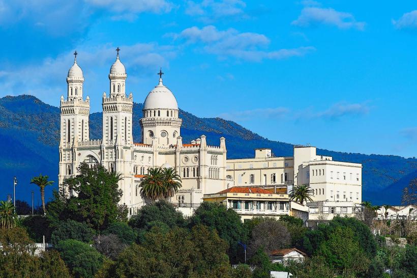
- Basilica of Saint Augustine (0.8km West)
- Annaba Port (1.2km Northeast)
- Place du 1er Novembre 1954 (0.6km West)
- Annaba Museum (1.0km West)
- Djebel Edough National Park (4.5km Southwest)