Information
Landmark: Lake TritrivaCity: Antsirabe
Country: Madagascar
Continent: Africa
Lake Tritriva, Antsirabe, Madagascar, Africa
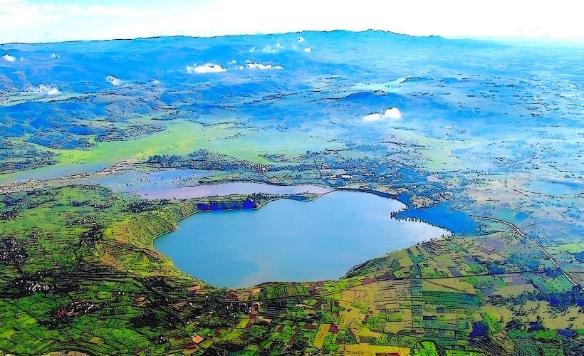
Lake Tritriva is a volcanic crater lake situated approximately 15 kilometers west of Antsirabe, Madagascar. It is known for its deep, emerald-green water and distinctive geological formation.
Visual Characteristics
The lake is characterized by its deep green water and an almost perfectly circular shape, enclosed by steep, rocky cliffs that drop sharply into the water. The surrounding area features sparse vegetation, primarily consisting of endemic shrubs and grasses clinging to the volcanic rock. The water level can fluctuate, revealing or submerging parts of the cliff face.
Location & Access Logistics
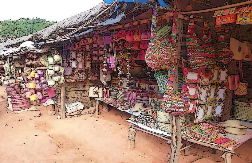
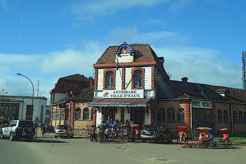
Access to Lake Tritriva is primarily via a paved road from Antsirabe, followed by a dirt track for the final few kilometers. It is located approximately 15 km west of the city center. Limited parking is available on unpaved ground near the lake's edge. Public transport options are restricted to private taxis or hired vehicles from Antsirabe; no specific bus lines serve the site directly.
Historical & Ecological Origin
Lake Tritriva is a maar, a type of volcanic crater lake formed by a phreatomagmatic eruption. This geological event occurred when rising magma interacted explosively with groundwater, creating a wide, shallow crater that subsequently filled with water. The lake's depth is estimated to be over 150 meters, making it one of Madagascar's deepest lakes.
Key Highlights & Activities
Visitors can walk around the lake's perimeter, a path that takes approximately 1-2 hours depending on pace and stops. Swimming is permitted in designated areas, though the water is cold. Photography of the unique geological formation and the surrounding landscape is a primary activity. Local guides may offer insights into the lake's history and legends.
Infrastructure & Amenities
Basic restroom facilities are available near the main entrance point. There is minimal natural shade directly around the lake's edge, primarily from small trees and shrubs. Cell phone signal (4G) is generally available in the vicinity. Local vendors may offer snacks and drinks, but no formal restaurants or extensive food services are present.
Best Time to Visit
The dry season, from April to October, offers the most favorable weather conditions for visiting, with less rainfall and clearer skies. Morning hours provide optimal lighting for photography, minimizing harsh shadows on the crater walls and enhancing the water's color. No specific high or low tide requirements apply to this freshwater lake.
Facts & Legends
Local folklore attributes the lake's fluctuating water level to a mythical connection with the sea, despite its inland location. A prominent legend tells of two forbidden lovers who drowned in the lake, and their spirits are said to be embodied by two intertwined trees growing from the cliff face, visible from certain viewpoints. The lake's water level is known to drop significantly during prolonged droughts, revealing submerged rock formations and ancient tree trunks.
Nearby Landmarks
- Lake Andraikiba: 7 km East
- Antsirabe City Center: 15 km East
- Thermal Baths of Antsirabe: 16 km East
- Cathedral of Our Lady of La Salette: 15.5 km East