Information
Landmark: Lough ErneCity: Fermanagh
Country: Ireland
Continent: Europe
Lough Erne, Fermanagh, Ireland, Europe
Lough Erne is a dual-lake system located in County Fermanagh, consisting of Upper Lough Erne (to the south) and Lower Lough Erne (to the north). The lakes are connected by the River Erne, which flows through the town of Enniskillen.
Visual Characteristics
The landscape is characterized by a "drowned drumlin" topography, where hundreds of small, green, oval-shaped hills rise out of the water to form islands. Lower Lough Erne is a large, open expanse of water with several large islands, while Upper Lough Erne is a complex, marshy labyrinth of narrow channels and small islets. The shoreline is dominated by reeds, willow, and alder trees, set against the distant backdrop of the Cuilcagh Mountains.
Location & Access Logistics
The lake system stretches approximately 42km from the border with County Cavan to the border with County Donegal. Access points are numerous:
Enniskillen: The central hub located between the two lakes.
Public Jetties: Located at Castle Archdale, Carrybridge, and Belleek.
Transport: The A4 and A46 roads run parallel to the shorelines. While most areas require a car, Enniskillen is well-served by Translink buses from Belfast and Dublin.
Historical & Ecological Origin
The lakes were formed during the last glacial period as ice sheets carved out the limestone valley. Lower Lough Erne is much deeper than the Upper lake, reaching depths of over 60 meters. Ecologically, it is a Special Area of Conservation (SAC), supporting one of the largest populations of common scoters in Ireland and providing a habitat for the rare garden warbler and various waterfowl.
Key Highlights & Activities
Navigation: The lake is a premier destination for cruising, with a network of markers for rental boats and private vessels.
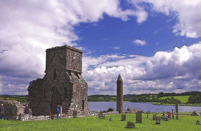
Island Exploring: Devenish Island (monastic ruins), White Island (8th-century stone carvings), and Boa Island (Janus stone).
Angling: Noted for pike, bream, and brown trout fishing.
Watersports: Kayaking and paddleboarding are centered around the Lough Erne Resort and Castle Archdale.
Infrastructure & Amenities
The region is highly developed for tourism. Enniskillen provides full urban amenities. The lakes are dotted with public moorings, pump-out stations, and slipways. 4G/5G cellular signal is strong in Enniskillen and on the open waters of Lower Lough Erne but can be intermittent within the complex channels of Upper Lough Erne.
Best Time to Visit
May to September is the primary season for boating and ferry services. For photography, autumn provides vibrant colors in the shoreline woodlands. Winter visits are quieter but offer significant sightings of migratory birds, though many water-based services close for the season.
Facts & Legends
Lough Erne is said to have 365 islands-one for every day of the year-though the official count varies depending on water levels. According to legend, the lake was formed when a sacred well overflowed after a woman failed to replace its cap, drowning the surrounding valley.
Nearby Landmarks
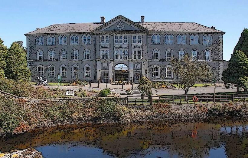
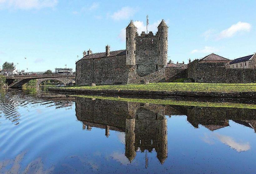
Enniskillen Castle – Centrally located between Upper and Lower lakes.
Castle Archdale Forest Park – 16km North of Enniskillen.
Crom Estate – 32km South of Enniskillen (Upper Lough).
Tully Castle – 15km Northwest of Enniskillen.
Boa Island – 30km North of Enniskillen.