Information
Landmark: Murdjajo PeninsulaCity: Oran
Country: Algeria
Continent: Africa
Murdjajo Peninsula, Oran, Algeria, Africa
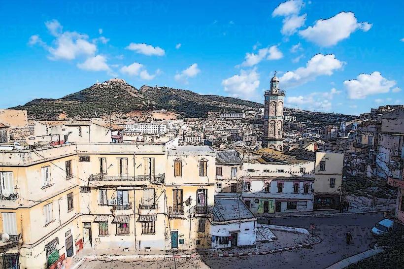
The Murdjajo Peninsula is a geological landform situated along the Mediterranean coast of Oran, Algeria. It extends eastward from the city's urban core.
Visual Characteristics
The peninsula is characterized by its rugged, rocky terrain, primarily composed of limestone formations. Vegetation is sparse, consisting mainly of Mediterranean scrub and hardy grasses. The coastline features steep cliffs and small, pebbly coves. The highest point reaches approximately 420 meters above sea level.
Location & Access Logistics
The Murdjajo Peninsula is located directly east of Oran's city center. Access is via the N11 coastal road. From Oran, follow the N11 eastward for approximately 5 kilometers. Parking is available at designated points along the road, particularly near the base of the peninsula. Public transport options are limited; bus lines serving the eastern outskirts of Oran may provide access to the general vicinity, requiring a subsequent walk.
Historical & Ecological Origin
The peninsula is a product of geological uplift and erosion over millennia, forming a promontory of the Atlas Mountains. Its ecological classification is Mediterranean coastal scrubland. Historically, it has served as a natural defensive feature and a vantage point overlooking the Bay of Oran.
Key Highlights & Activities
Hiking trails traverse the peninsula, offering views of the coastline and the city. Observation points are situated at higher elevations. Birdwatching is possible, with migratory species observed during specific seasons. Access to the shoreline for exploration is possible in certain areas, though caution is advised due to the terrain.
Infrastructure & Amenities
Limited infrastructure exists on the peninsula itself. Designated viewpoints may have basic seating. Restrooms are not consistently available on the peninsula; facilities are more common in the nearby urban areas of Oran. Cell phone signal (4G/5G) is generally available, though it may be weaker at higher elevations or in sheltered ravines. Food vendors are not present on the peninsula; options are available in Oran.
Best Time to Visit
The best time for photography is during the early morning or late afternoon when the sun angle provides optimal lighting on the rock formations and coastline. The months of April to June and September to October offer the most pleasant weather, with lower temperatures and reduced humidity compared to the summer months. No tide-specific activities are relevant.
Facts & Legends
A local legend suggests that the peninsula was once inhabited by a solitary hermit who possessed knowledge of ancient sea currents. The specific location of his dwelling is said to be marked by an unusually shaped rock formation near the western edge, though its identification remains anecdotal.
Nearby Landmarks
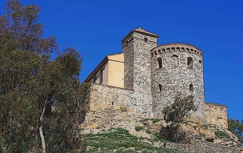
- Fort Santa Cruz (1.5km West)
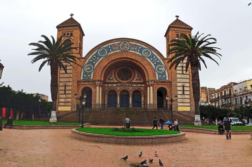
- Chapelle de Notre-Dame du Salut (2km West)
- Place du 1er Novembre 1954 (3km West)
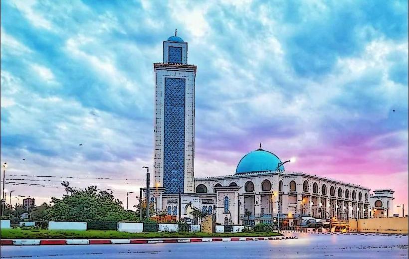
- Grand Mosque of Oran (4km West)
- Port of Oran (4.5km West)