Information
Landmark: National Park of MascaraCity: Mascara
Country: Algeria
Continent: Africa
National Park of Mascara, Mascara, Algeria, Africa
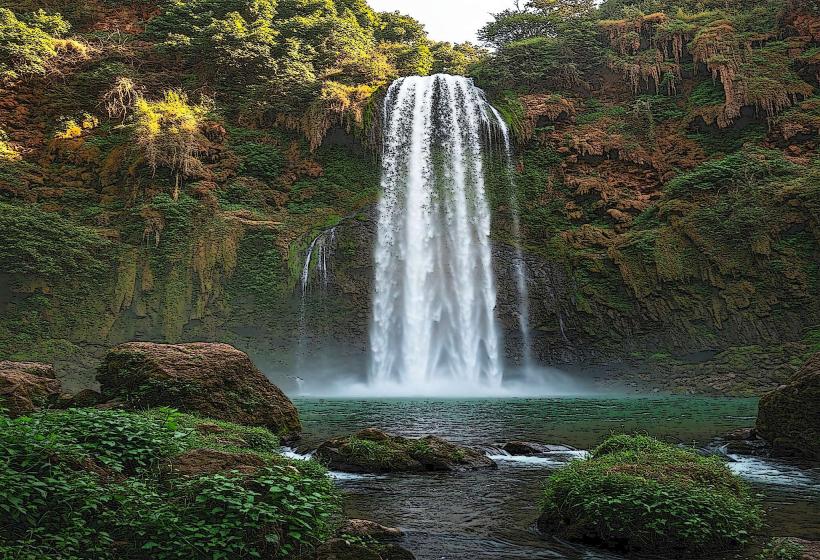
The National Park of Mascara is a protected natural area situated in the Mascara Province of Algeria. It encompasses a significant portion of the Ouarsenis mountain range.
Visual Characteristics
The park features varied topography, including mountainous terrain, plateaus, and valleys. Vegetation consists primarily of Mediterranean scrubland, pine forests, and oak groves. Elevation ranges from approximately 800 meters to over 1,800 meters above sea level. Rock formations are predominantly sedimentary, with some areas exhibiting karst topography.
Location & Access Logistics
The park is located approximately 20 kilometers south of the city of Mascara. Access is primarily via the N4 national road, with specific turnoffs leading into the park. The main entrance is marked and accessible by private vehicle. Parking is available at designated points within the park, particularly near trailheads and visitor centers. Public transport options directly to the park are limited; bus services operate to nearby villages, requiring onward travel by taxi or foot.
Historical & Ecological Origin
The park's ecological origin is rooted in the geological formation of the Ouarsenis mountain range, characterized by uplift and erosion over millennia. It serves as a crucial habitat for endemic flora and fauna adapted to the Mediterranean climate. Historically, the area has been utilized for grazing and timber extraction, leading to its designation as a protected national park in 1983 to conserve its natural resources.
Key Highlights & Activities
Hiking is a primary activity, with marked trails of varying difficulty. The Djebel Tissouka summit offers panoramic views. Birdwatching is possible, with species including various raptors and passerines. Picnicking is permitted at designated sites. Photography opportunities exist for landscape and flora.
Infrastructure & Amenities
Basic infrastructure includes marked hiking trails and some picnic areas. Restrooms are available at the main entrance and a few key points within the park. Shade is provided by natural tree cover. Cell phone signal is intermittent and generally weak within the park's interior. Food vendors are not present within the park; visitors should bring their own provisions.
Best Time to Visit
The best months for visiting are April through June and September through October, offering moderate temperatures and clear skies. Mornings between 7:00 AM and 10:00 AM provide optimal lighting for landscape photography due to softer sunlight. Avoid midday heat during summer months.
Facts & Legends
A local legend speaks of ancient Berber tribes who used the park's caves for shelter during times of conflict. A specific tip for visitors is to carry sufficient water, as water sources are scarce and unreliable within the park.
Nearby Landmarks
- City of Mascara (20km North)
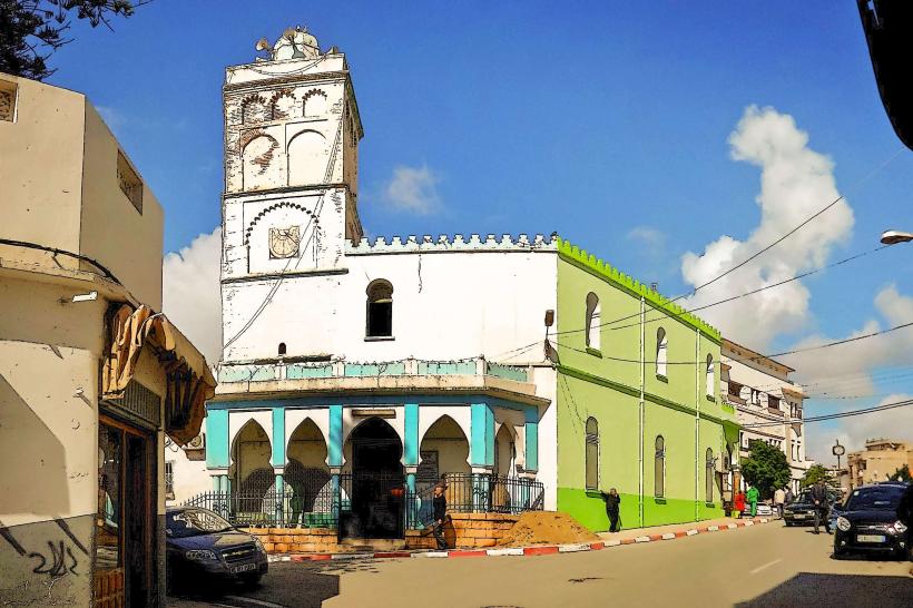
- Sidi Okba Mosque (25km Northwest)
- Tlemcen National Park (Approximately 70km West)
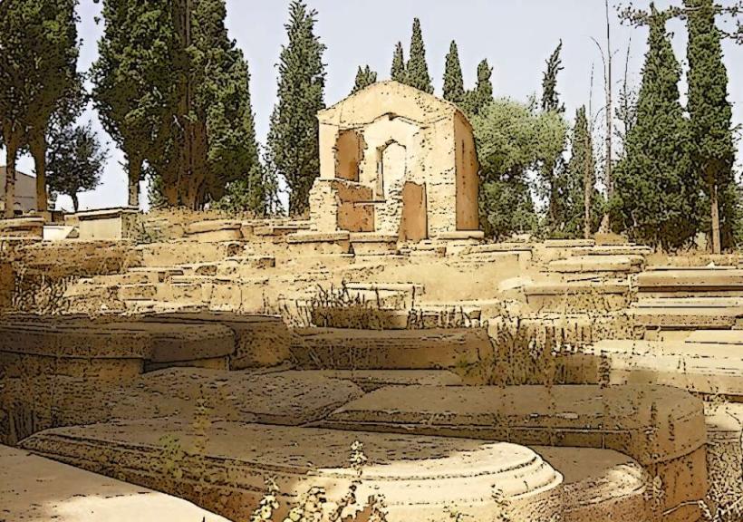
- Beni Ouragh ruins (Approximately 30km Southwest)