Information
Landmark: Patras Rio Antirrio BridgeCity: Patras
Country: Greece
Continent: Europe
Patras Rio Antirrio Bridge, Patras, Greece, Europe
The Rio-Antirrio Bridge, officially the Charilaos Trikoupis Bridge, spans the Gulf of Corinth, connecting the town of Rio on the Peloponnese peninsula to Antirrio on mainland Greece. It functions as a critical fixed link for the A5 motorway and the E55 European route.
Visual Characteristics
This multi-span cable-stayed structure features four massive concrete pylons supporting a 2,252-meter long deck. The bridge is constructed of reinforced concrete and steel, reaching a maximum height of 160 meters above sea level at the pylon tops. The deck sits 52 meters above the water line to allow for maritime traffic, characterized by its white fan-like cable stay arrangement and aerodynamic steel girders.
Location & Access Logistics
The bridge is located 8 kilometers north of Patras city center. Access from the south is via the A8 (Olympia Odos) or A5 motorways, and from the north via the A5 (Ionia Odos). Dedicated toll plazas are located at the Antirrio entrance; pedestrians and cyclists can access the bridge via designated lateral walkways. Public transport includes regional KTEL buses and a local rail link from Patras to the Rio station.
Historical & Ecological Origin
Construction began in 1998 and the bridge was inaugurated in August 2004, timed for the Athens Olympic Games. It was designed by the French firm Berdermann and constructed by a Franco-Greek consortium led by Vinci. The structure was engineered to withstand tectonic movements, as the Gulf of Corinth widens by approximately 25 millimeters per year.
Key Highlights & Activities
Pedestrians can walk across the bridge on the protected sidewalks for views of the gulf and the Lepanto fortifications. A visitor center and permanent exhibition regarding the bridge’s engineering are located at the Antirrio toll station. Boat tours operate from the nearby ferries to view the pylon foundations from water level.
Infrastructure & Amenities
The bridge features 24-hour surveillance and emergency breakdown lanes. Restrooms and parking are available at the administration buildings and toll plazas on the Antirrio side. Continuous 5G cellular coverage is present across the entire span. There is no shade on the pedestrian walkways; food vendors are concentrated in the nearby towns of Rio and Antirrio.
Best Time to Visit
Photography of the structure is best during the blue hour (dusk) when the bridge is fully illuminated by architectural floodlights. The summer months (June to August) provide the clearest visibility of the surrounding mountains. High wind speeds can lead to temporary closures for high-profile vehicles, so weather monitoring is required.
Facts & Legends
The bridge’s foundations are not embedded in the seabed but rest on gravel beds to allow the pylons to slide during major seismic events, acting as a natural shock absorber. A common local tip is that the ferry service still operates beneath the bridge, providing a cheaper, slower alternative for those wishing to photograph the pylons from a low angle.
Nearby Landmarks
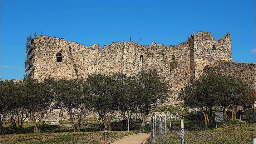
Rio Castle: 0.4km South
Antirrio Fortress: 0.6km North
University of Patras Campus: 2.5km Southeast
Saint Andrew’s Church: 8.5km Southwest
Patras Archaeological Museum: 6.2km Southwest