Information
Landmark: S’Albufera des Grau Natural ParkCity: Menorca
Country: Balearic Islands
Continent: Europe
S’Albufera des Grau Natural Park, Menorca, Balearic Islands, Europe
S’Albufera des Grau Natural Park is a protected wetland area located on the northeastern coast of Menorca, Balearic Islands.
This park serves as a critical habitat for numerous bird species and contains a significant freshwater lagoon.
Visual Characteristics
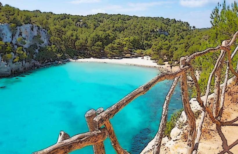
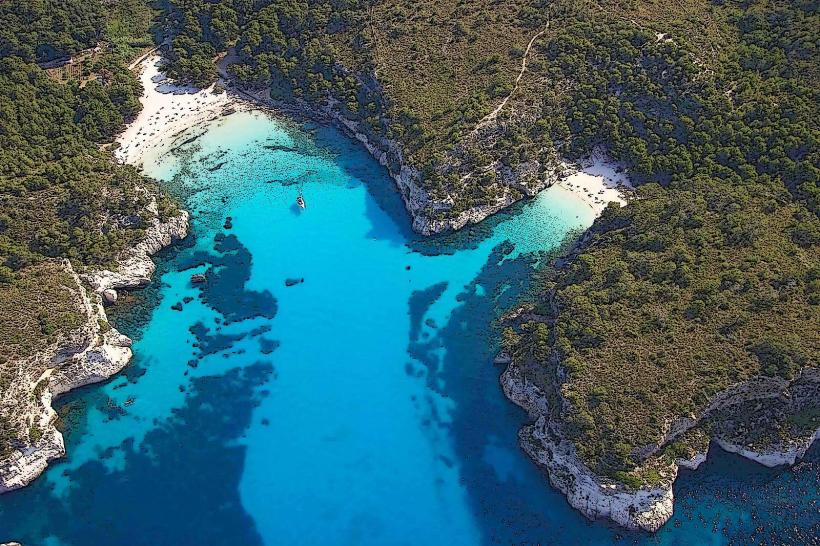
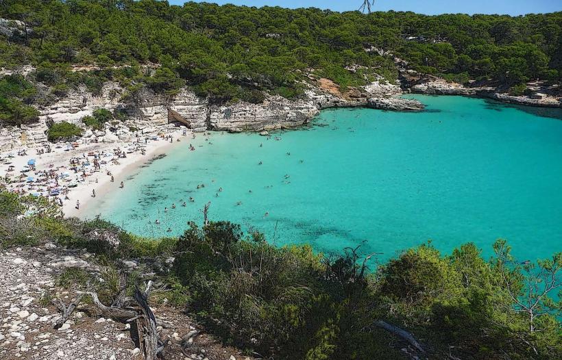
The park's landscape is characterized by a large brackish lagoon, known as l'Albufera, surrounded by reed beds and Mediterranean scrubland. The water color varies from greenish to brown depending on sediment levels. The terrain is generally flat, with some low-lying hills and rocky outcrops along the coastline. Vegetation includes pine forests, holm oaks, and various wetland plants.
Location & Access Logistics
S’Albufera des Grau is situated approximately 8 kilometers northeast of Maó. Access is via the Me-5 road, turning off towards Es Grau village. Parking is available at designated areas near the park entrance. Public transport options are limited; bus line 15 from Maó stops in Es Grau, requiring a walk of approximately 1 kilometer to the park's visitor center.
Historical & Ecological Origin
The lagoon is a geologically formed coastal wetland, shaped by sea-level changes and sediment deposition over millennia. It is classified as a Ramsar site due to its international importance as a wetland habitat. Historically, the area has been used for fishing and agriculture, with evidence of human activity dating back to prehistoric times.
Key Highlights & Activities
Birdwatching is a primary activity, with observation hides strategically placed around the lagoon. Hiking is possible on marked trails, including the path leading to the Cap de Favàritx lighthouse. Kayaking and paddleboarding are permitted on the lagoon during specific hours. Educational programs and guided walks are offered by the park authorities.
Infrastructure & Amenities
A visitor center provides information and maps. Restrooms are available at the visitor center and at designated picnic areas. Shade is provided by natural tree cover in forested sections and by some picnic shelters. Cell phone signal (4G) is generally available in most areas of the park, though it can be intermittent near the coast.
Best Time to Visit
The best time for birdwatching is during the spring (March-May) and autumn (September-November) migration periods. For hiking and general exploration, the months of April, May, September, and October offer pleasant temperatures. The lagoon's water level can fluctuate, impacting kayaking opportunities; check local conditions.
Facts & Legends
The park is a designated Biosphere Reserve by UNESCO. A local legend speaks of a mythical sea serpent said to inhabit the deeper parts of the lagoon, though no scientific evidence supports this. A specific tip for visitors is to bring binoculars for optimal bird observation, as many species are small and well-camouflaged.
Nearby Landmarks
- Cap de Favàritx Lighthouse: 2.5km Northwest
- Talatí de Dalt Talayotic Settlement: 4.0km Southwest
- Fort Marlborough: 5.0km South
- Maó: 8.0km Southwest