Information
Landmark: Singapore RiverCity: Central Region
Country: Singapore
Continent: Asia
Singapore River, Central Region, Singapore, Asia
The Singapore River is a 3.2-kilometer tidal river located in the Central Region of Singapore. It flows from the upstream reservoirs to the Singapore Strait.
Visual Characteristics
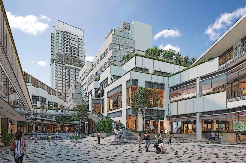
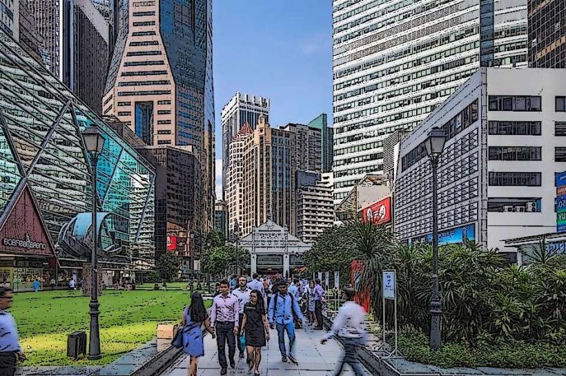
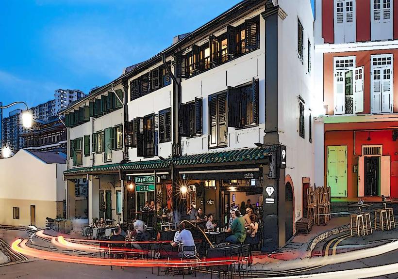
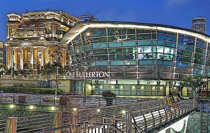
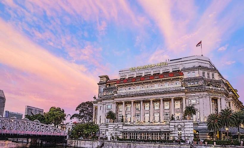
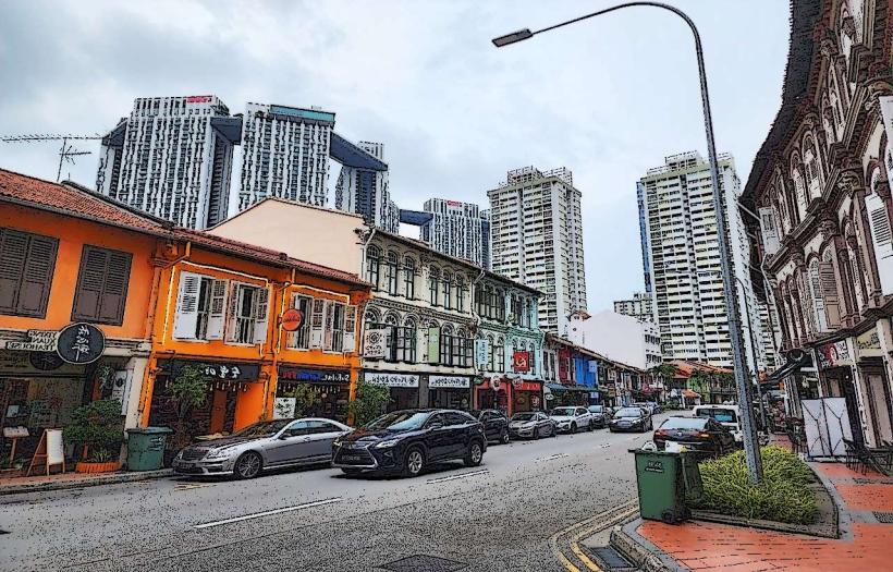
The river's banks are predominantly lined with concrete embankments and urban infrastructure. Water color varies from murky brown to greenish-grey, influenced by tidal flow and urban runoff. The river mouth is characterized by modern skyscrapers and historical shophouses.
Location & Access Logistics
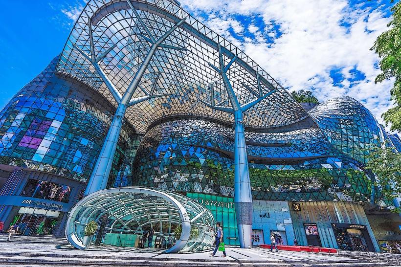
The Singapore River is accessible from multiple points within the Central Region. Major access points include the areas around Clarke Quay, Boat Quay, and the Merlion-park_central-region" class="underline">Merlion Park. From Changi Airport (SIN), it is approximately a 20-30 minute drive via the East Coast Parkway (ECP). Public transport options include the MRT system with stations such as Clarke Quay (North-East Line) and Raffles Place (East-West Line, North-South Line) within walking distance. Numerous bus routes serve the surrounding areas.
Historical & Ecological Origin
Historically, the Singapore River was a natural waterway that served as the primary port and commercial hub for Singapore. Its development into a managed urban river began in the 19th century, with significant dredging and embankment work undertaken throughout the 20th century to facilitate shipping and mitigate flooding. Ecologically, it is a freshwater river influenced by tidal saltwater ingress at its lower reaches.
Key Highlights & Activities
Boat tours operate along the river, offering views of the city skyline and historical quays. Kayaking and paddleboarding are permitted in designated sections. Walking paths along the riverbanks allow for exploration of the surrounding districts.
Infrastructure & Amenities
Restrooms are available at various points along the river, particularly in commercial areas like Clarke Quay and Boat Quay. Shade is provided by buildings and some trees. Cell phone signal (4G/5G) is consistently strong throughout the river's length. Numerous food and beverage vendors are located along the quays.
Best Time to Visit
For photography, the hours around sunrise and sunset offer optimal lighting conditions for the city skyline. Weather is generally consistent year-round, but the months of February to April typically experience less rainfall. Tidal fluctuations do not significantly impact river access for most activities.
Facts & Legends
A notable historical fact is the extensive clean-up operation undertaken in the 1970s and 1980s, which transformed the river from a polluted waterway into its current state. This involved relocating polluting industries and dredging the riverbed.
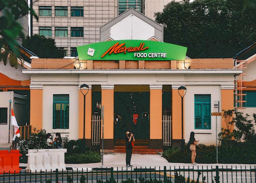
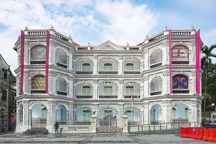
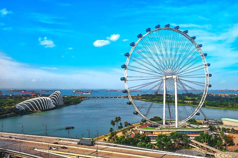
Nearby Landmarks
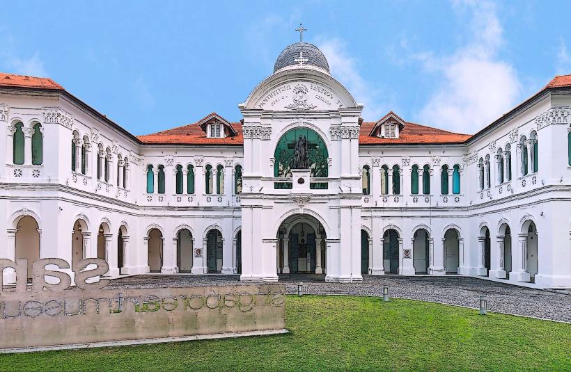
- Asian Civilisations Museum (0.2km West)
- Victoria Theatre and Concert Hall (0.3km West)
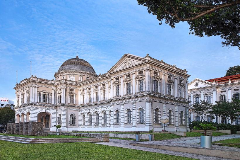
- National Gallery Singapore (0.5km Northwest)
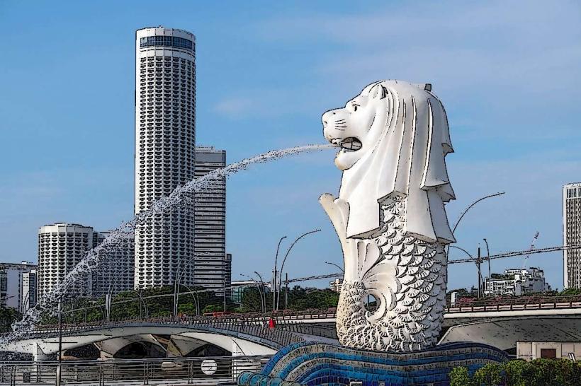
- Merlion Park (0.6km Southeast)
- Esplanade - Theatres on the Bay (0.7km East)