Information
Landmark: Suez CanalCity: Suez
Country: Egypt
Continent: Africa
Suez Canal, Suez, Egypt, Africa
The Suez Canal is an artificial sea-level waterway in Egypt, connecting the Mediterranean Sea to the Red Sea. It is located between the cities of Port Said and Suez.
Visual Characteristics
The canal itself is a man-made channel, approximately 193.3 kilometers (120.1 miles) long and varying in width and depth. The surrounding landscape is predominantly arid desert terrain, with sandy soil and sparse vegetation. The water color within the canal is typically a muted blue-green, influenced by sediment and depth. The banks are reinforced with concrete and earthworks.
Location & Access Logistics
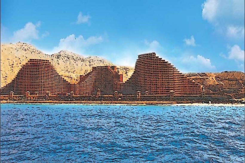
The Suez Canal runs north-south across the Isthmus of Suez. Access points for viewing or transit are primarily through the port cities of Port Said at the northern terminus and Suez at the southern terminus. Major Egyptian National Highways E1 and E10 run parallel to sections of the canal. Driving from Cairo to Port Said is approximately 220 kilometers (137 miles) via Highway 10. Driving from Cairo to Suez is approximately 130 kilometers (81 miles) via Highway 10. Public transportation options include intercity buses to Port Said and Suez from major Egyptian cities. Limited public access to the canal banks is available in designated areas, with most viewing points concentrated around the port facilities and specific observation points. Parking is available in designated lots within Port Said and Suez, and at some official viewing areas.
Historical & Ecological Origin
Construction of the Suez Canal began on April 25, 1859, under the direction of the Suez Canal Company, led by Ferdinand de Lesseps. It was officially opened on November 17, 1869. The original purpose was to create a direct maritime route between Europe and Asia, significantly reducing travel time and cost compared to circumnavigating Africa. Ecologically, the canal has created a marine connection between the Mediterranean and Red Seas, leading to the Lessepsian migration of species from the Red Sea into the Mediterranean.
Key Highlights & Activities
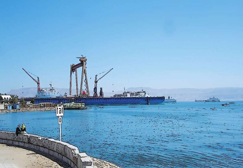
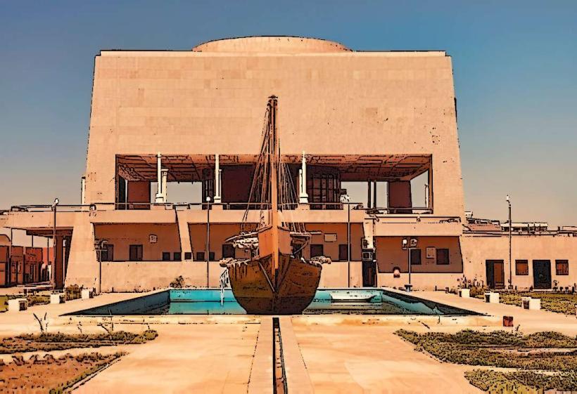
Observing large commercial vessels transiting the canal is the primary activity. Designated viewing platforms and areas in Port Said and Suez offer vantage points. Boat tours are available in the port areas, providing closer views of canal traffic. Photography of ship movements and the canal landscape is common. Visitors can explore the maritime museums in Port Said.
Infrastructure & Amenities
Restrooms are available at port facilities and designated visitor areas in Port Said and Suez. Shade is limited to structures within port areas and some observation points. Cell phone signal (4G/5G) is generally available in Port Said and Suez, but may be intermittent along more remote sections of the canal. Food vendors and restaurants are located within the cities of Port Said and Suez.
Best Time to Visit
The best time of day for photography is generally during the early morning or late afternoon when the sun angle provides softer light and highlights ship details. The most favorable months for visiting are from October to April, avoiding the extreme heat of summer. Canal traffic is continuous, so tide is not a limiting factor for observation.
Facts & Legends
The Suez Canal was a significant strategic asset during both World Wars. A unique aspect of the canal's operation is the convoy system, where ships travel in both directions during specific, scheduled windows to maintain safety and efficiency.
Nearby Landmarks
- Port Said Lighthouse (0.8km North, Port Said)
- Suez Maritime Museum (1.2km South, Suez)
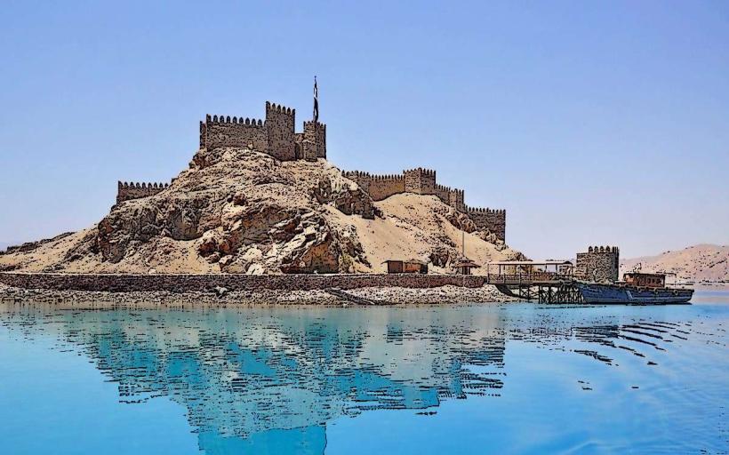
- Fort Napoleon (1.5km North, Port Said)
- Suez Canal Authority Building (0.9km South, Suez)
- Lake Timsah (15km Southwest)