Information
Landmark: Talaimannar LighthouseCity: Mannar
Country: Sri Lanka
Continent: Asia
Talaimannar Lighthouse, Mannar, Sri Lanka, Asia
The Talaimannar Lighthouse is a navigational aid located on the northwestern tip of Mannar Island, Sri Lanka. It marks the closest point of Sri Lanka to India.
Visual Characteristics
The lighthouse is a cylindrical concrete tower painted white with a red band around its upper section. It stands approximately 30 meters (98 feet) in height. The lantern room is situated at the apex of the tower.
Location & Access Logistics
Talaimannar Lighthouse is situated at the northernmost point of Mannar Island. Access is via the A14 road, which connects Mannar town to Talaimannar. The distance from Mannar town is approximately 30 kilometers. Limited parking is available near the lighthouse. Public transport options to Talaimannar are infrequent; bus services from Mannar town are the primary method, with the final approach often requiring a short walk or local transport.
Historical & Ecological Origin
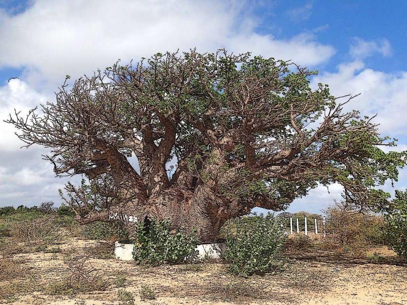
The current lighthouse was constructed in 1915 by the British colonial administration. Its primary purpose was to guide ships navigating the Palk Strait between India and Sri Lanka. The island itself is characterized by sandy terrain and low-lying vegetation.
Key Highlights & Activities
Observation of the lighthouse structure is the primary activity. The surrounding coastal area offers opportunities for observing marine birdlife. Access to the interior of the lighthouse is generally restricted.
Infrastructure & Amenities
Restroom facilities are not consistently available at the immediate lighthouse site. Shade is minimal. Cell phone signal (4G/5G) is generally available in the vicinity. No food vendors are located directly at the lighthouse; provisions should be made from Mannar town.
Best Time to Visit
For photography, the late afternoon provides favorable lighting conditions. The dry season, from December to March, offers the most stable weather. Tidal conditions do not significantly impact access to the lighthouse itself.
Facts & Legends
A notable historical event associated with the area is the construction of a railway line from Madhu Road to Talaimannar Pier, intended to connect with a ferry service to Rameswaram, India. This project was largely completed but never fully operational for passenger traffic due to geopolitical circumstances.
Nearby Landmarks
- Talaimannar Pier (0.8km South)
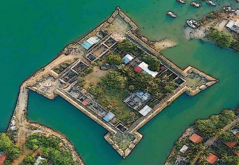
- Mannar Fort (28km Southwest)
- Adam's Bridge (Pamban Bridge) (Visible from coastline, approx. 4km North)
- Kudiramalai Point (15km Southeast)