Information
Landmark: Toma PlateauCity: East New Britain
Country: Papua New Guinea
Continent: Australia
Toma Plateau, East New Britain, Papua New Guinea, Australia
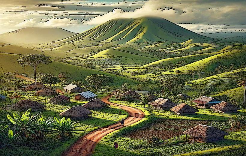
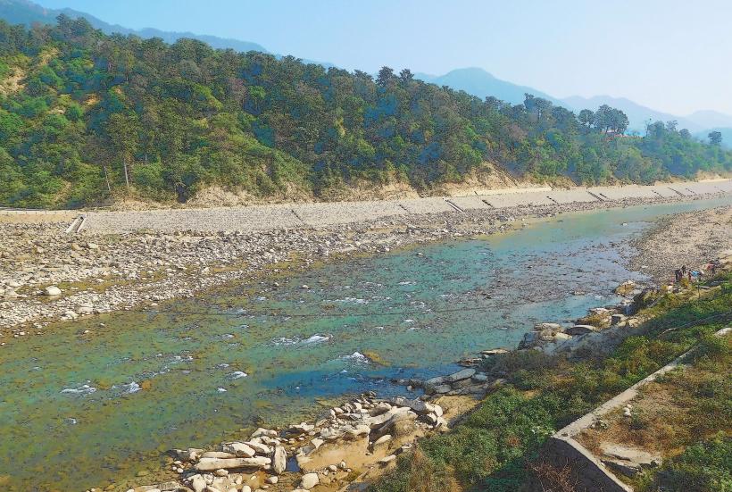
The Toma Plateau is a geologically significant and culturally rich area in the Gazelle Peninsula of East New Britain Province, Papua New Guinea. It lies inland, not far from the administrative town of Toma, and is known for its elevated terrain, fertile soils, and its proximity to volcanic zones like the Rabaul Caldera. The plateau is a vital region for agriculture and traditional Tolai culture.
Geography and Features
Elevation:
The Toma Plateau rises gently above the surrounding lowlands, providing panoramic views of the Gazelle Peninsula and nearby volcanic landscapes.
Volcanic Soils:
The plateau's rich, dark soils are derived from volcanic ash and make it an agriculturally productive area, supporting crops such as cocoa, coconut palms, and taro.
Vegetation:
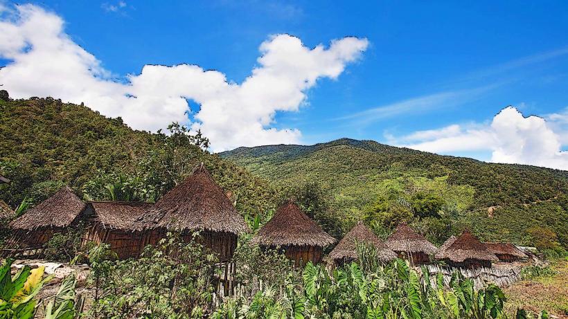
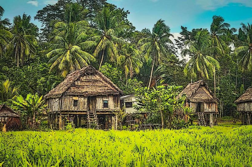
The landscape is a mix of cultivated fields, tropical rainforest patches, and grasslands. The plateau’s green cover thrives due to the region's high rainfall and fertile soil.
Hydrology:
Small streams and creeks originating from the plateau contribute to the water systems that sustain agriculture and local villages.
Cultural Significance
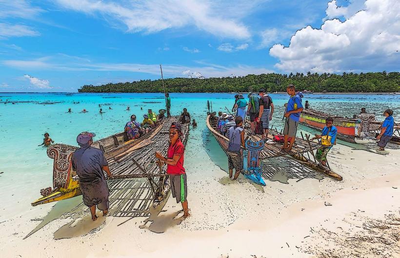
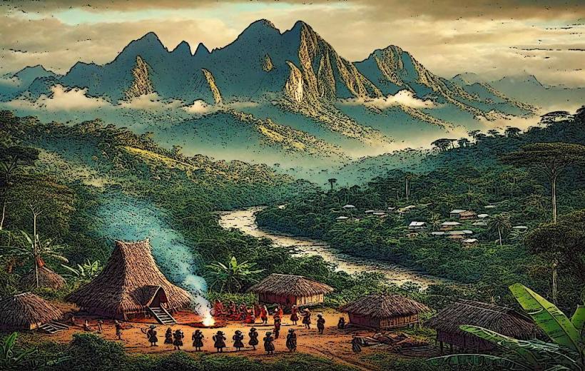
The Toma Plateau is deeply intertwined with the traditions and livelihoods of the Tolai people, the indigenous inhabitants of the Gazelle Peninsula:
Subsistence Farming:
The Tolai communities rely on the plateau's fertile land for small-scale farming. Root crops, vegetables, and fruits grown here are staples in their diet.
Traditional Practices:
The area is home to important Tolai cultural sites and is associated with ceremonies involving the Tubuan Society, a secretive and sacred group that plays a central role in Tolai life.
Shell Money (Tabu):
The production and trade of Tabu, the traditional shell currency, are tied to communities in the plateau. This currency is used in ceremonial exchanges and as a form of local trade.
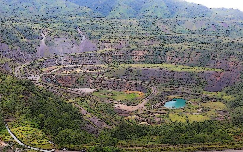
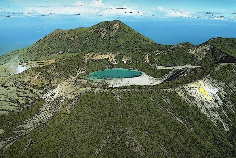
Volcanic Influence
The plateau's proximity to the Rabaul Caldera has significantly shaped its geology and ecosystems:
Volcanic Activity:
Eruptions, such as those from Tavurvur and Vulcan, have deposited layers of ash over the plateau, enriching the soil but occasionally disrupting agriculture.
Scenic Views:
The elevated position of the plateau offers views of nearby volcanic peaks and the coastline, making it a striking natural feature of the region.
Economy and Livelihood
Agriculture:
Cocoa plantations are a major economic activity, contributing to both local sustenance and exports. Other important crops include bananas, sweet potatoes, and cassava.
Local Markets:
Produce grown on the plateau is often sold in markets in Kokopo and Rabaul, forming a vital part of the regional economy.
Access and Transportation
- The Toma Plateau is accessible by road from Kokopo and Rabaul. The journey typically involves traversing dirt or gravel roads that wind through the plateau’s scenic terrain.
- Public transportation, such as minibuses, is available, though many visitors opt for private vehicles or guided tours for convenience.
Activities and Attractions
Hiking and Nature Walks:
The plateau’s trails offer opportunities for exploring its natural beauty, including views of nearby volcanic landmarks and lush vegetation.
Cultural Tours:
Visitors can learn about the Tolai way of life, including their farming practices, use of shell money, and participation in traditional ceremonies.
Agricultural Visits:
Some cocoa plantations on the plateau offer guided tours, showcasing the process of growing and processing cocoa for export.
Photography:
The plateau’s mix of fertile fields, rainforest, and volcanic backdrops make it a photographer’s dream.
Conservation Efforts
Given its ecological and cultural importance, local communities and organizations work to preserve the plateau's environment. Sustainable farming practices and awareness of volcanic risks are central to these efforts.
Why Visit?
The Toma Plateau is a harmonious blend of natural beauty, agricultural significance, and cultural depth. It provides an excellent opportunity to experience the vibrant traditions of the Tolai people, the awe-inspiring landscapes of the Gazelle Peninsula, and the enduring relationship between the land and its inhabitants.