Information
Landmark: Grote LooiersstraatCity: Maastricht
Country: Netherlands
Continent: Europe
Grote Looiersstraat, Maastricht, Netherlands, Europe
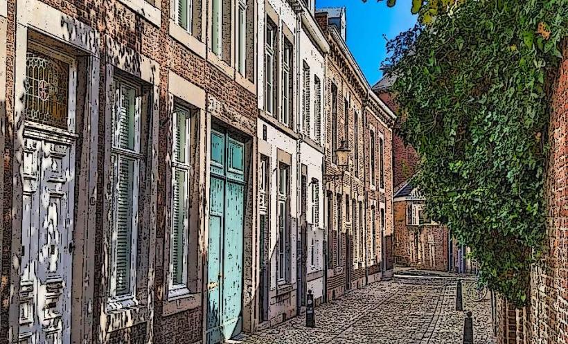
Grote Looiersstraat is a historic boulevard located in the Jekerkwartier (Jeker Quarter) of Maastricht. Known for its picturesque aesthetic, it is defined by a central lawn and a partially covered canal, the Jeker, which runs through the middle of the street.
Visual Characteristics
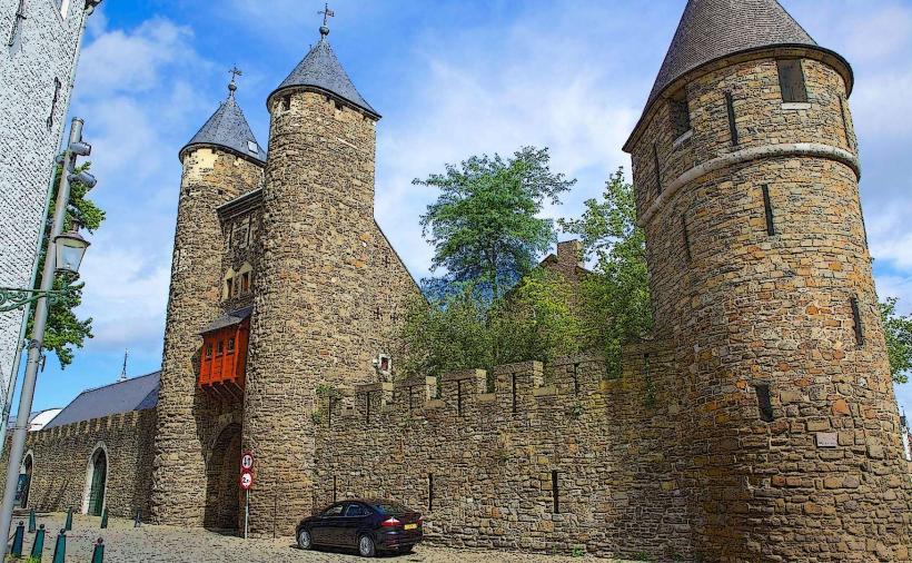
The street features two parallel lanes of paved roadway separated by a linear park containing mature lime trees and a canal. The architecture consists of 17th- and 18th-century townhouses and former industrial buildings built from red brick and grey Namur limestone. The western end is anchored by the Sint-Maartenspoort (remnants of the old city wall) and the eastern end leads toward the river Maas.
Location & Access Logistics
Address: Grote Looiersstraat, 6211 Maastricht.
Transit: 1.2km (15-minute walk) from Maastricht railway station.
Parking: Limited on-street paid parking; nearest garage is Q-Park Onze Lieve Vrouweplein (0.4km).
Access: Pedestrian-friendly with restricted vehicular traffic.
Historical & Ecological Origin
The street's name translates to "Great Tanners' Street," referencing the tanning industry that dominated the area from the Middle Ages until the 19th century. Tanners utilized the flowing water of the Jeker River to process animal hides. The canal was largely covered in the late 19th century for hygiene reasons, but portions remain visible today. The soil in this area is characterized by river silt from the Jeker’s historic floodplain.
Key Highlights & Activities
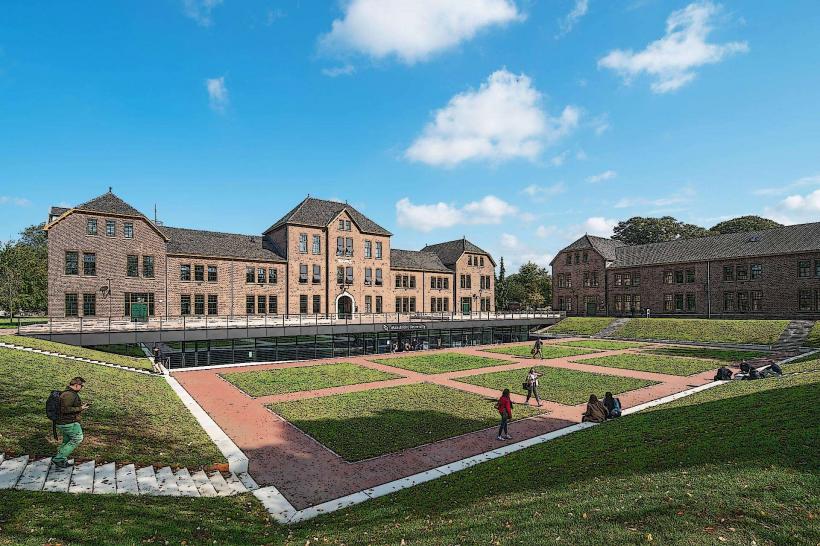
University Library: The Maastricht University Library is housed in a former administrative building on this street.
Statue of Fons Olterdissen: A monument to the prominent Maastricht writer and composer is located at the street's intersection with the Ezelmarkt.
Historical Almshouses: Several hofjes (almshouses) and the former Sint-Martinushofje are situated along the southern side.
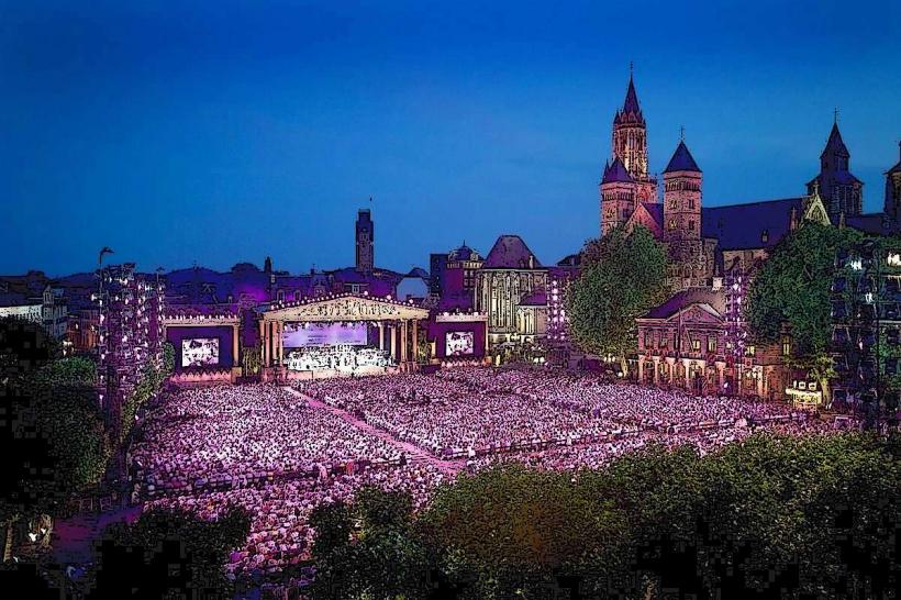
Walking: It serves as a primary route for "green walks" through the Jekerkwartier toward the city walls and the Stadspark.
Infrastructure & Amenities
The street is primarily residential and academic. While it lacks heavy commercial density, several upscale cafes and artisan shops are located at the intersections. 5G cellular signal is stable. The central park area provides benches for public use.
Best Time to Visit
The street is most visually striking during autumn when the lime trees change color, or in late spring. Mid-morning offers the best light for photographing the facades on the northern side. It is a quiet residential area, avoiding the heavy tourist crowds of the Vrijthof.
Facts & Legends
A verified historical oddity is the presence of the Pesthuys (Plague House) nearby, where victims of the plague were historically isolated. Legend suggests that the distinct smell of the tanning chemicals (tannin and lime) was so strong in the 17th century that it was believed to ward off miasma, or "bad air," thought to carry diseases.
Nearby Landmarks
Maastricht University (Inner City Campus) (0.2km West)
Stadspark (City Park) (0.3km South)
Onze Lieve Vrouweplein (0.4km East)
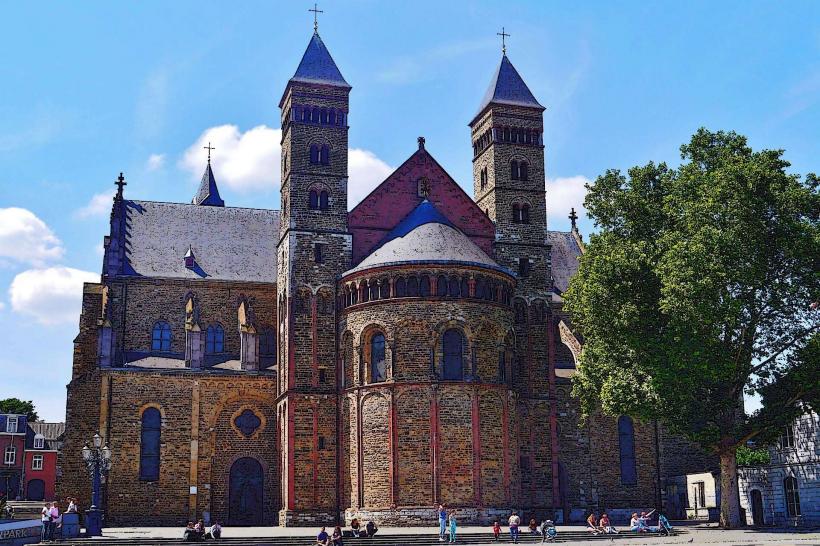
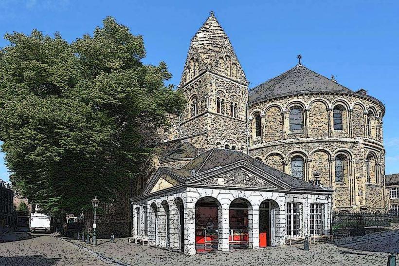
Helpoort (Hell's Gate) (0.3km Southeast)
Natural History Museum Maastricht (0.2km North)