Information
City: AmparaCountry: Sri Lanka
Continent: Asia
Ampara, Sri Lanka, Asia
Ampara is the administrative capital of the Ampara District in the Eastern Province. Originally established as a base for the Gal Oya Development Scheme in the 1940s, it has evolved into a planned inland town primarily serving as a hub for agriculture and irrigation management.
Historical Timeline
Historically part of the ancient Digamadulla kingdom (a sub-division of Ruhuna), the area was sparsely populated forest land until the mid-20th century. Following independence, the Senanayake Samudraya was constructed, marking the first major multi-purpose irrigation project in Sri Lanka. This led to the modern colonization of the area by Sinhalese farmers, transforming the jungle into a vast paddy-producing region.
Demographics & Population
The town population is approximately 25,000. The district is uniquely diverse, with nearly equal proportions of Sinhalese, Sri Lankan Moors, and Sri Lankan Tamils. The local economy is almost exclusively driven by rice cultivation, sugar cane farming, and the government sector.
Urban Layout & Key Districts
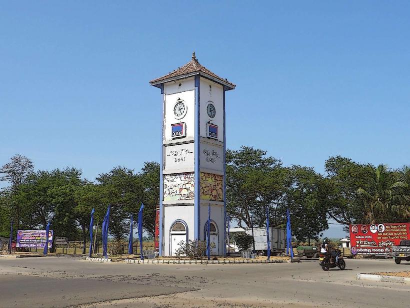
Town Center: A planned grid around the clock tower and the Ampara Tank, featuring wide roads and government offices.
Inginiyagala: Located 20 km west, it is the site of the main dam and a secondary residential hub for irrigation workers.
Uhana: A nearby agricultural district containing the local airfield.
The Tanks: The town is flanked by large reservoirs (tanks) used for water management and fishing.
Top Landmarks
Senanayake Samudraya: One of the largest man-made reservoirs in Sri Lanka, offering boat safaris to see wild elephants.
Buddhangala Monastery: A 2,300-year-old forest hermitage located on a rock outcrop, containing sacred relics of the Buddha.
Ampara Tank: An urban reservoir popular for evening walks and local birdwatching.
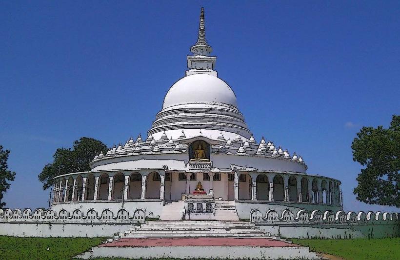
Peace Pagoda: A Japanese-built stupa symbolizing harmony in the post-war era.
Digavapi Stupa: A major Buddhist pilgrimage site currently under restoration, believed to have been visited by the Buddha.
Transportation Network
Road: Accessible via the A25 (from Siyambalanduwa) and A27 (from Akkaraipattu). The journey from Colombo takes 7–9 hours.
Air: Ampara Airport (GOY) in Uhana is a military base that occasionally hosts domestic civil flights.
Public Transit: The central bus terminal provides links to Kandy, Colombo, and coastal towns like Batticaloa and Arugam Bay.
Local Transit: Tuk-tuks are the primary mode. Roads are generally wide and less congested than coastal cities.
Safety & "Red Zones"
Wildlife: Ampara is a high-density elephant corridor. Wild elephants frequently roam the town outskirts and main roads after dusk. Do not travel on motorbikes or bicycles in rural areas at night.
Crocodiles: All reservoirs and irrigation canals in the district harbor mugger crocodiles; swimming is prohibited.
Heat: The area is exceptionally hot and dry; dehydration is a common issue for visitors.
Digital & Financial Infrastructure
4G/LTE coverage is robust within the town but intermittent in the Gal Oya National Park area. The currency is the Sri Lankan Rupee (LKR). ATMs from major banks (BOC, Sampath, Commercial) are clustered in the town center. Credit card usage is minimal outside of major government hotels.
Climate & Air Quality
Tropical Dry Zone climate. It experiences intense heat from March to September. Air quality is exceptionally high due to the lack of heavy industry and the surrounding forest cover.
Culture & Social Norms
Ampara is a socially conservative town with a strong emphasis on religious and agricultural traditions.
Dress: Modest attire is required when visiting Buddhangala or Digavapi.
Alcohol: Availability is limited to a few licensed outlets and government guest houses.
Harvest Season: The town follows the "Maha" and "Yala" rice cultivation cycles, which dictate the local pace of life.
Local Cost Index (LKR)
1 Standard Lunch (Rice & Curry): 400–800 LKR
1 Tuk-Tuk Ride (within town): 250–400 LKR
1 Boat Safari (Senanayake Samudraya): 5,000–8,000 LKR
Nearby Day Trips
Gal Oya National Park: 45 minutes west; famous for "swimming elephants" and boat-based wildlife viewing.
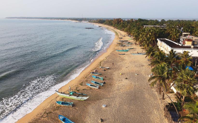
Arugam Bay: 1.5 hours south; the world-famous surfing destination.
Lahugala Kitulana National Park: 1 hour south; a vital habitat for large elephant herds.
Facts & Legends
Legend says that King Kavanthissa established his base in Digamadulla (Ampara) to gather resources and troops to unify the island. A geographic fact: The Senanayake Samudraya is so large that it contains several inhabited islands. Historically, the Gal Oya project was modeled after the Tennessee Valley Authority (TVA) in the United States, aiming to modernize Sri Lankan agriculture through engineering.