Information
City: ErrachidiaCountry: Morocco
Continent: Africa
Errachidia, Morocco, Africa
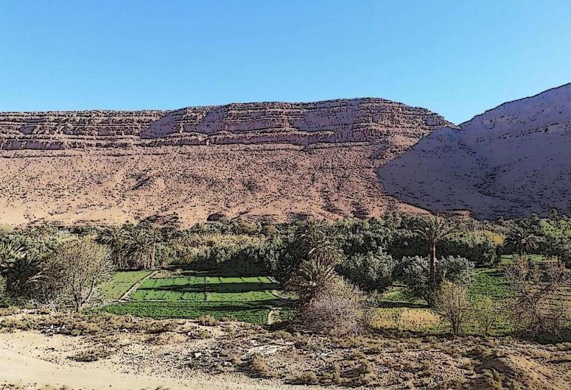
Errachidia is the administrative and military capital of the Drâa-Tafilalet region. It is situated in the Ziz Valley on the high plateaus between the High Atlas Mountains and the Sahara Desert.
Historical Timeline
Errachidia was established by the French in 1916 as a military garrison named "Ksar es-Souk." Its primary purpose was to control the strategic Ziz Valley corridor and the Tafilalet region. Following Moroccan independence, it was renamed in 1975 in honor of Prince Moulay Rachid. The primary event shaping its current urban form was the 1965 flood of the Ziz River, which led to the construction of the Hassan Addakhil Dam (1971), stabilizing the region's water supply and allowing for the expansion of the modern administrative city.
Demographics & Population
The estimated metropolitan population for 2026 is 115,000. The demographics are a mixture of Arab-Berber groups and a significant community of Sahrawis. The city has a large population of civil servants, military personnel, and university students. The median age is approximately 26.2 years.
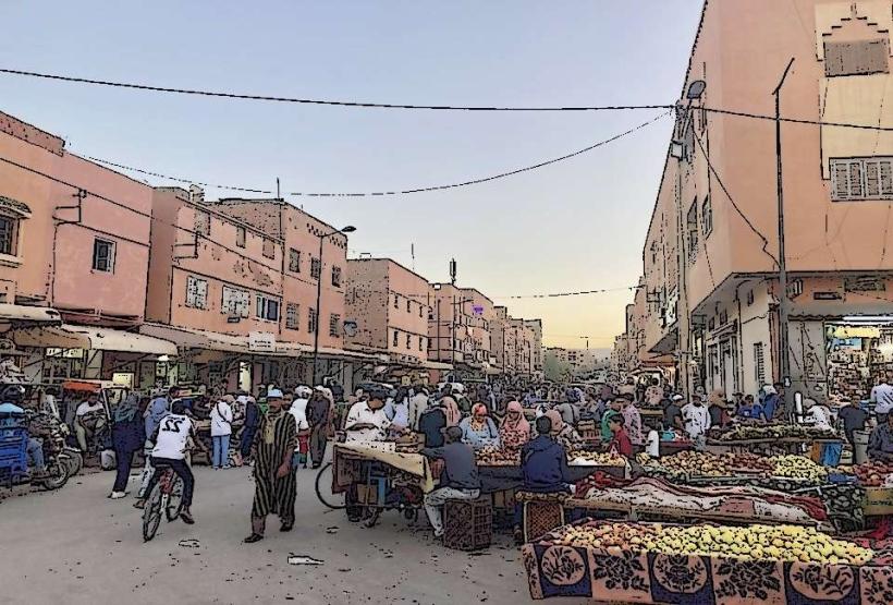
Urban Layout & Key Districts
The city follows a colonial-grid layout with wide boulevards. Key districts include the Centre-Ville (administrative and commercial), the Quartier Militaire, and Boutalamine (residential). The city is oriented along the N13 highway, which serves as its primary economic artery.
Top City Landmarks
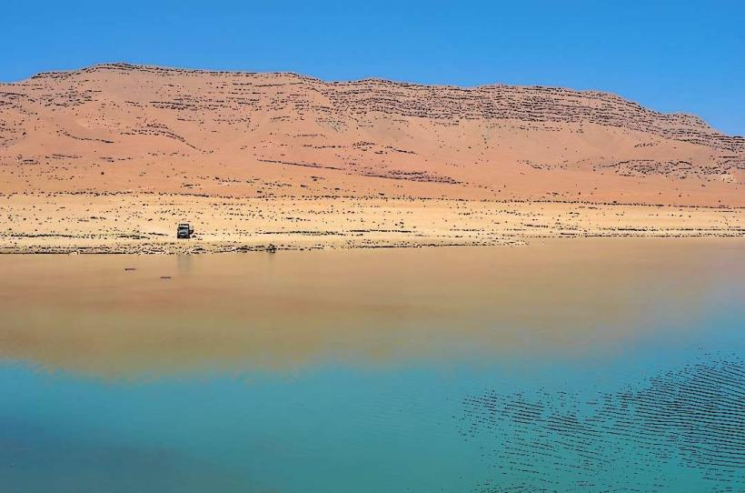
Hassan Addakhil Dam: A massive turquoise reservoir surrounded by red cliffs.
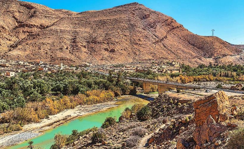
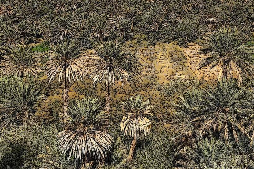
The Ziz Valley Overlook: A panoramic viewpoint of the extensive palm groves.
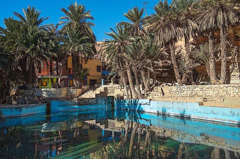
Source Bleue de Meski: A natural spring-fed swimming pool in a palm oasis.
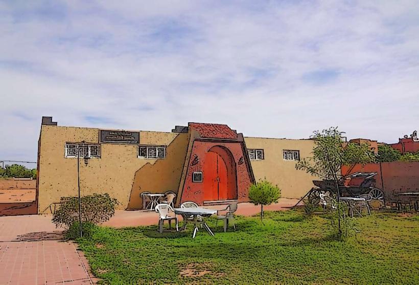
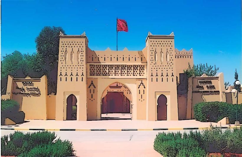
The Military Monument: Located at the city entrance.
Moulay Ali Cherif Airport (ERH): A key regional transport hub.
Transportation Network
Intra-city transit is managed by "Petit Taxis" (typically blue-colored) and a municipal bus network. There are no metro or tram systems. Inter-city transport is highly developed due to its status as a regional crossroads; the CTM station and the "Grand Taxi" terminal provide links to Midelt, Meknes, and Merzouga. Traffic density is low to moderate.
Safety & "Red Zones"
The general safety level is very high. Due to its status as a military hub, security presence is dense and professional. There are no specific "red zones," though travelers should avoid photographing military installations or personnel. Common scams are nearly non-existent as the city is an administrative center rather than a primary tourist destination.
Digital & Financial Infrastructure
The average internet speed is 35–50 Mbps. Main mobile carriers are Maroc Telecom, Orange, and Inwi. Credit card acceptance is moderate in government-standard hotels and some restaurants but low in local markets. ATMs are ubiquitous along the central boulevards.
Climate & Air Quality
Temperatures range from 0°C in winter nights to 42°C in summer. The climate is continental and arid. Air quality is excellent due to its altitude and lack of industry. Significant weather risks include sudden sandstorms and extreme diurnal temperature variations.
Culture & Social Norms
Tipping is standard at 5–10%. Handshakes are the standard greeting. Errachidia is culturally conservative; modest attire is strictly expected. Unlike the tourist-heavy cities, it offers a more authentic view of modern Moroccan administrative life. Alcohol is restricted to a few licensed venues, primarily within international-standard hotels.
Accommodation Zones
Centre-Ville: Recommended for logistics, banking, and transit access.
Route de Merzouga: Recommended for quiet guesthouses with views of the palm groves.
Local Cost Index
1 Espresso: 12 MAD ($1.20 USD)
1 Standard Lunch (Tagine/Plat du jour): 60 MAD ($6.00 USD)
1 Petit Taxi Trip: 10 MAD ($1.00 USD)
Nearby Day Trips
Aoufous: 40 km (Spectacular views of the palm forest)
Erfoud: 75 km (Fossil and marble center)
Rissani: 95 km (Historical cradle of the Alawite Dynasty)
Goulmima: 60 km (Traditional oasis town)
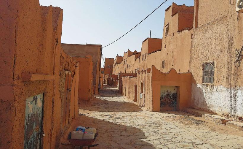
Facts & Legends
Errachidia is often called the "Crossroads of the East." A local historical oddity is that the city was essentially "built from scratch" by French engineers on a site that had no major previous settlement, making it one of the few Moroccan cities without a centuries-old medina at its core. Legend says the nearby Source Bleue de Meski was originally used by local tribes to heal horses, as the mineral-rich water was believed to have supernatural restorative properties.