Information
City: Grand BaieCountry: Mauritius
Continent: Africa
Grand Baie, Mauritius, Africa
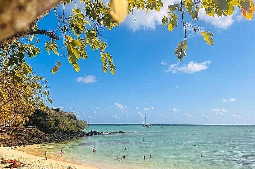
Grand Baie serves as the primary tourism and maritime leisure hub of Mauritius, located in the Rivière du Rempart District on the northern coast. It functions as the island's main center for yachting, deep-sea fishing, and northern commercial retail.
Historical Timeline
The bay was named "De Bogt Zonder Eyndt" (The Bay Without End) by the Dutch in the 17th century. It remained a small fishing village throughout the French and British colonial periods until the 1970s. The primary event shaping the current urban form was the rapid tourism liberalization of the 1980s and 1990s, which converted residential coastal plots into high-density commercial and resort infrastructure.
Demographics & Population
The permanent population is approximately 12,000, though this fluctuates significantly with seasonal tourism. The demographic profile is roughly 60% Indo-Mauritian, 30% Creole, and 10% foreign expatriates and Sino-Mauritians. The median age is 34 years.
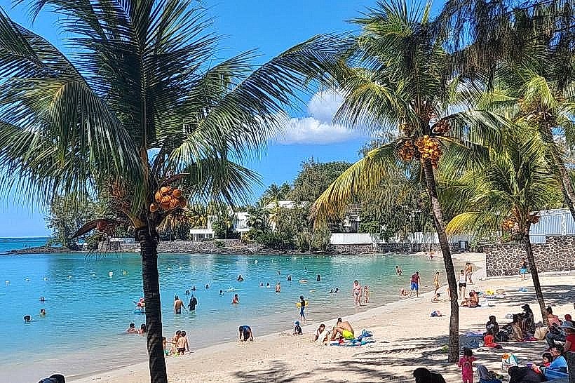
Urban Layout & Key Districts
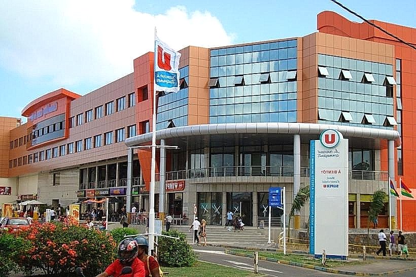
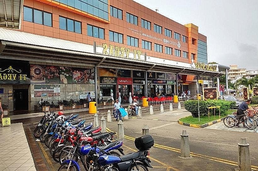
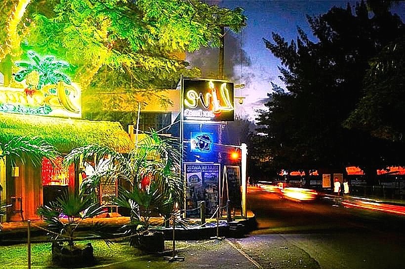
The town follows the curvature of the bay along the B11 coastal road. Key districts include the Sunset Boulevard area (Center), the primary luxury retail zone; La Croisette (Southwest), the modern residential and commercial expansion; and Pointe aux Canonniers (West), an upscale residential peninsula.
Top City Landmarks
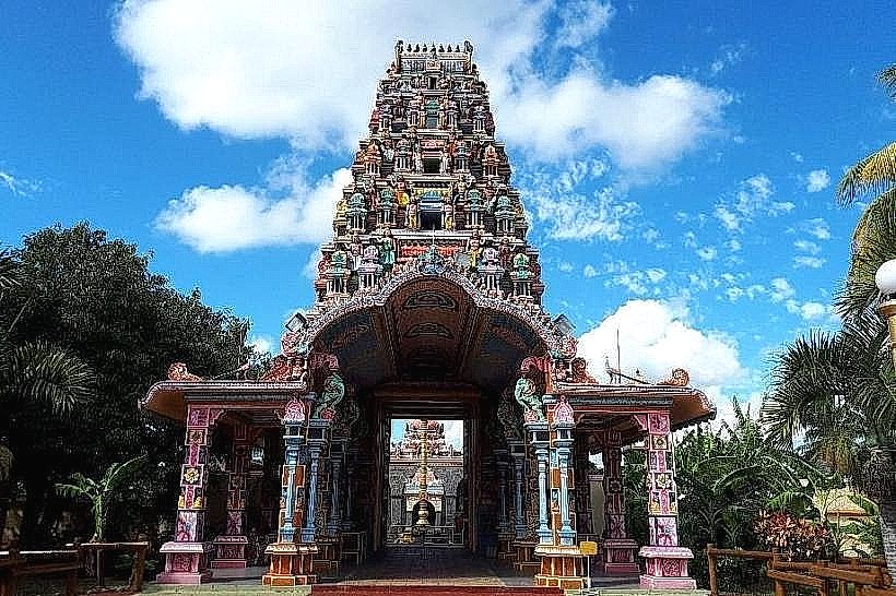
Shiv Kalyan Vath Mandir (Tamil Temple)
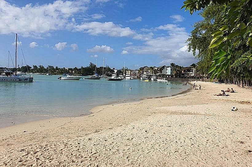
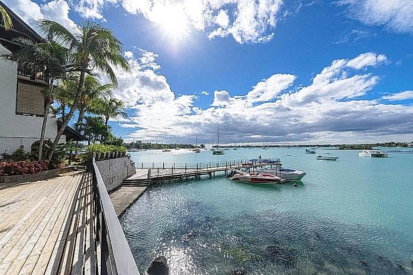
The Grand Baie Yacht Club
La Croisette Waterfront
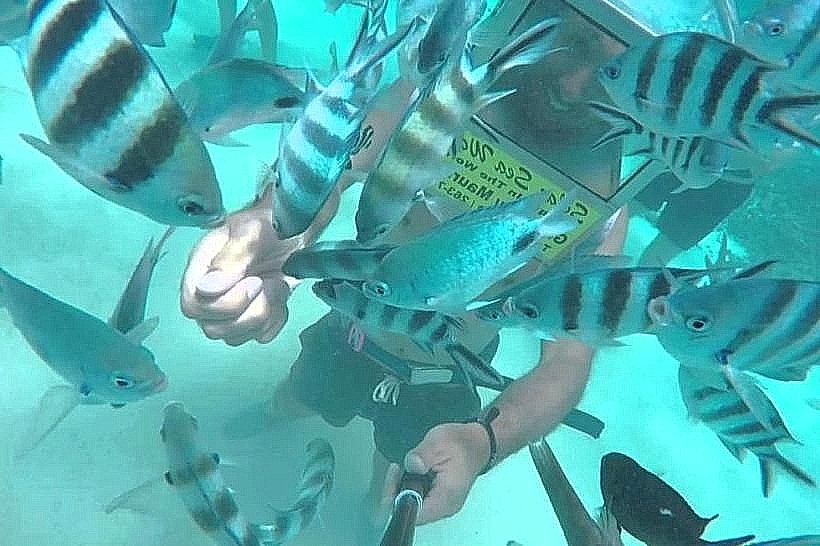
Solar Sea Undersea Walk
Transportation Network
Internal movement is dominated by the B11 coastal road. The Metro Express does not yet reach the north; transport relies on the Triolet Bus Service (TBS) and private cars. The primary ride-sharing app is Yugo. Official taxis have yellow signs and are concentrated at "taxi stands" near major hotels. Traffic density is high during weekends and summer holiday periods.
Safety & "Red Zones"
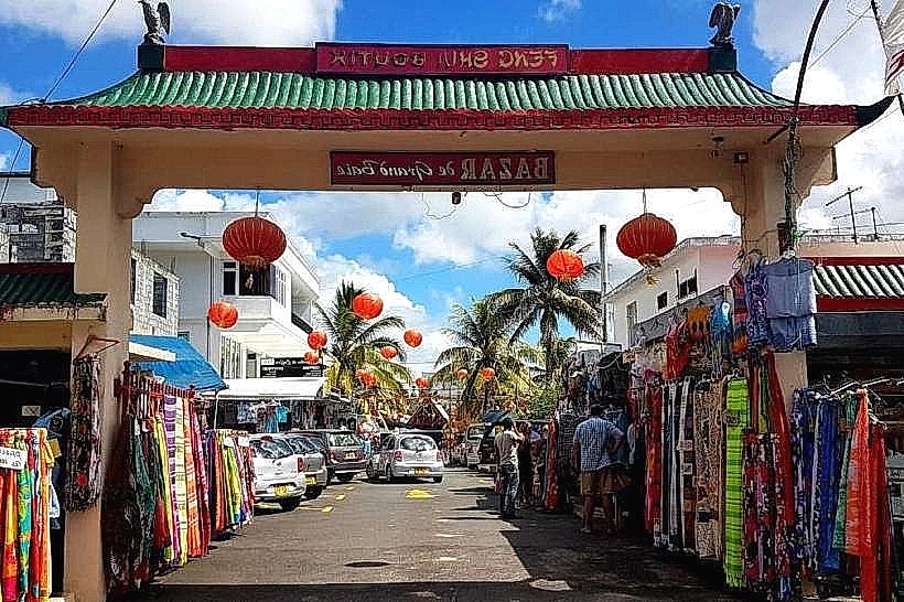
The safety level is high. Avoid unlit beach areas at night, specifically the public beach stretches between Grand Baie and Pereybere. Common scams include "freelance" boat operators offering unlicensed excursions and overpricing at the local bazaar.
Digital & Financial Infrastructure
Average internet speed is 40-60 Mbps. Main carriers are my.t and Emtel. Card acceptance is high in malls and restaurants; cash is required for street vendors and small boutiques. ATMs are concentrated in the Sunset Boulevard and La Croisette areas.
Climate & Air Quality
Temperatures range from 16°C to 26°C in winter and 23°C to 33°C in summer. The region is sheltered from southeast trade winds, making it warmer and drier than the central plateau. Air quality is high due to consistent sea breezes and lack of heavy industry.
Culture & Social Norms
Tipping of 10% is expected in tourist-centric restaurants. Standard greeting is a handshake. Dress code is casual, but swimwear is restricted to beach areas and strictly prohibited in shops or supermarkets. Alcohol consumption is prohibited on public beaches after dark.
Accommodation Zones
Stay in Pointe aux Canonniers for quiet, high-end residential proximity to the beach.
Stay in the Grand Baie Center for walking access to nightlife, supermarkets, and the harbor.
Local Cost Index
1 Espresso: 125 MUR ($2.75 USD)
1 Standard Lunch: 450 MUR ($9.85 USD)
1 Bus Ticket: 35 MUR ($0.75 USD)
Nearby Day Trips
Cap Malheureux (Red-roofed church): 6 km (10 minutes)
Flat Island (Île Plate): 12 km (1 hour by catamaran)
Mont Choisy Beach: 4 km (8 minutes)
Pamplemousses Botanical Garden: 18 km (20 minutes)
Facts & Legends
Grand Baie was the site of the British invasion in 1810; the fleet landed at nearby Cap Malheureux to surprise French forces defending Port Louis. Local legend refers to hidden pirate caches along the northern islets, particularly Gunners' Quoin, which served as a navigational landmark for 17th-century corsairs.