Information
City: GuanacasteCountry: Costa Rica
Continent: North America
Guanacaste, Costa Rica, North America
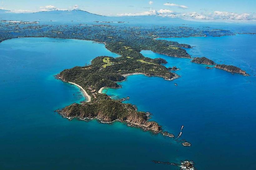
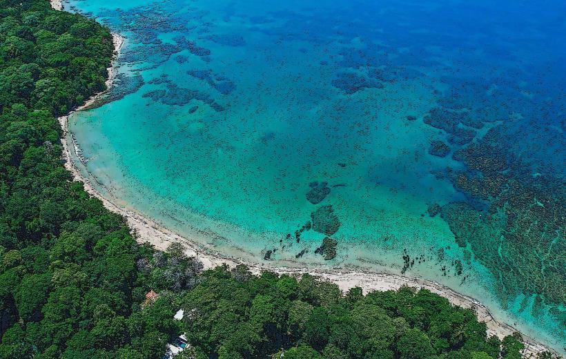
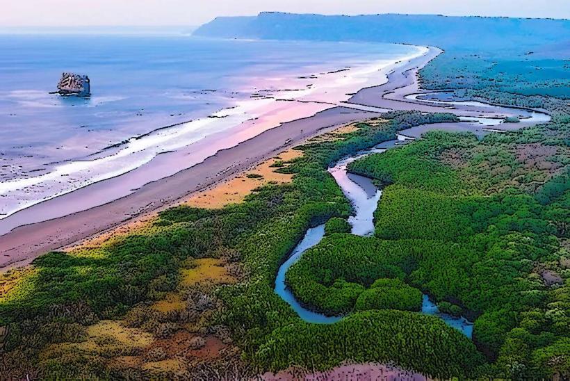
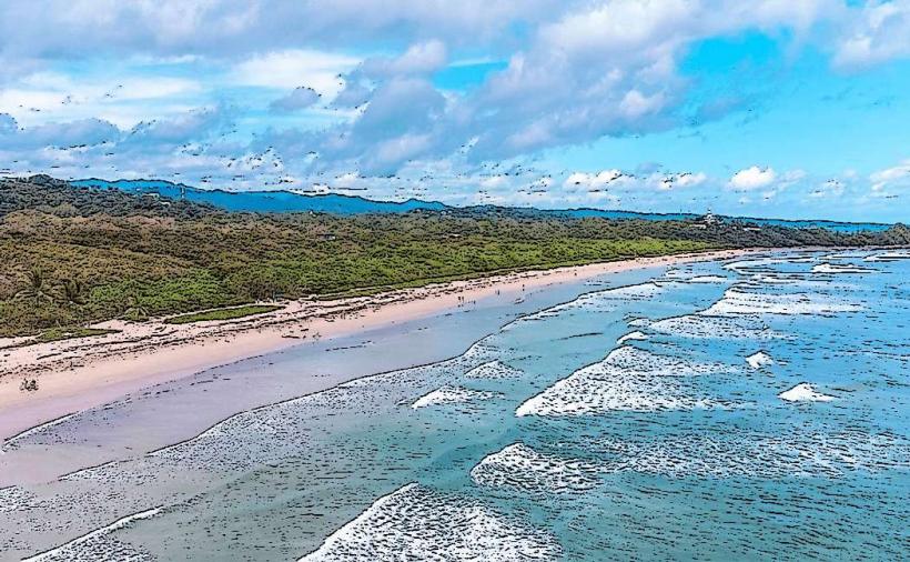
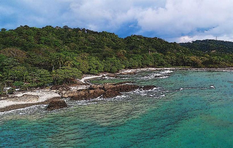
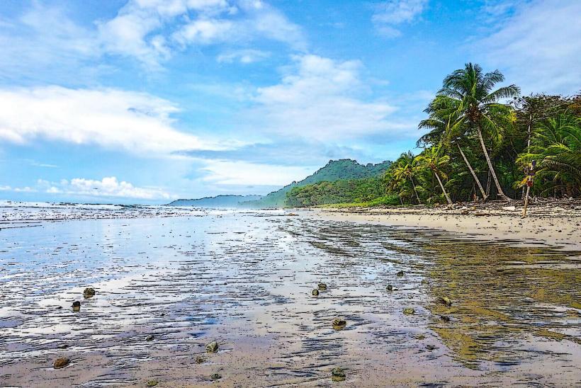
Guanacaste serves as the primary agricultural and tourism engine of northern Costa Rica, functioning as a critical center for cattle ranching, sugar production, and high-end coastal hospitality. It is a province located in the northwestern region of the country, bounded by the Pacific Ocean to the west and the Cordillera de Guanacaste to the east.
Historical Timeline
Guanacaste was originally part of the Nicoya Corregimiento under Spanish colonial rule. The primary event shaping the province’s identity was the Annexation of the Partido de Nicoya on July 25, 1824, when the region voluntarily joined Costa Rica rather than Nicaragua. The modern urban and economic form was defined by the 1970s development of the Pan-American Highway and the 1990s expansion of the Daniel Oduber Quirós International Airport, which transitioned the region from an isolated ranching frontier to a global tourism destination.
Demographics & Population
The province has a population of approximately 400,000. The demographic is characterized by a significant "Chorotega" indigenous heritage mixed with Spanish descent, often referred to as "Guanacasteco." There is a substantial and growing expatriate population from North America and Europe along the coastal corridors. The median age is 31.2 years.
Urban Layout & Key Districts
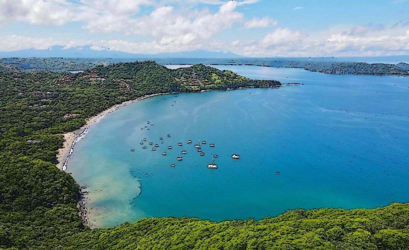
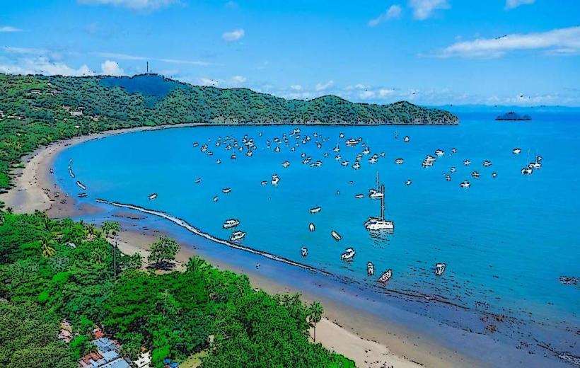
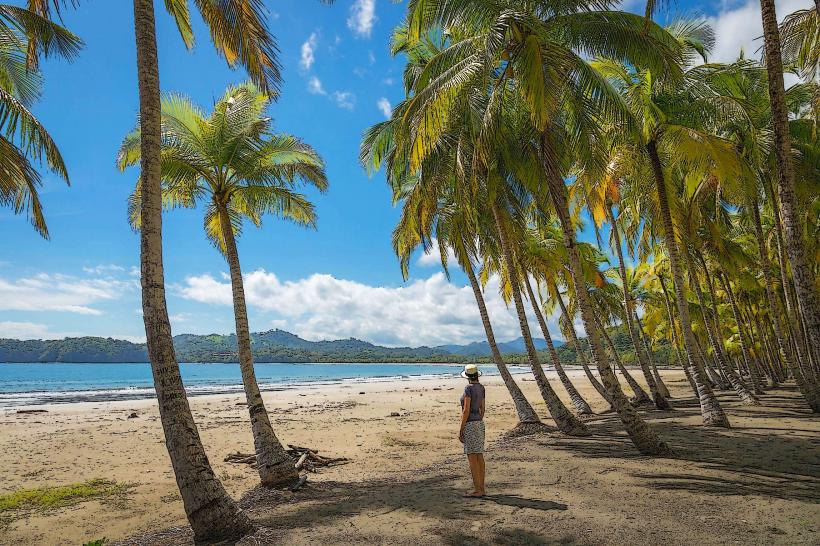
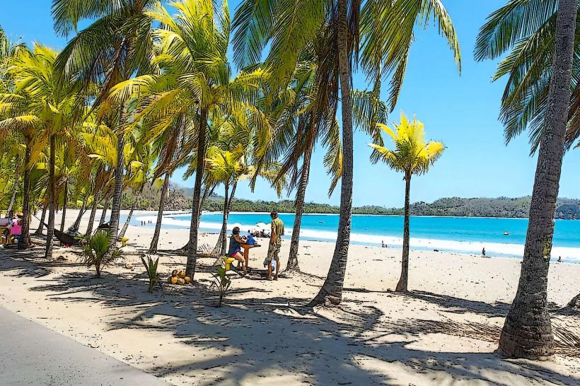
Guanacaste is decentralized, organized around several major hubs. Liberia (Northeast) is the "White City" and the administrative/logistical capital. Nicoya (South-Central) is the cultural heart and a designated "Blue Zone" for longevity. Tamarindo and Playas del Coco (Coast) serve as the primary tourism and nightlife nodes. Cañas (East) is the industrial and irrigation center.
Top Landmarks
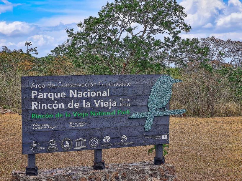
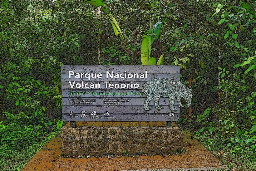
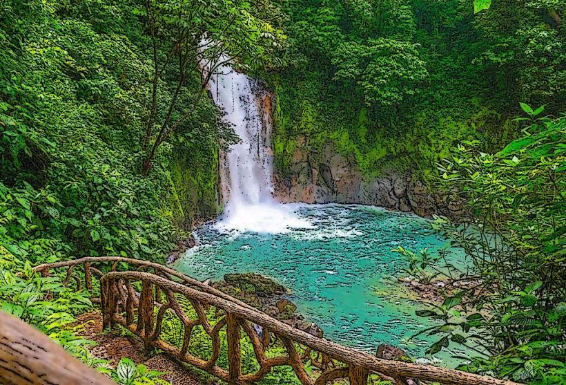
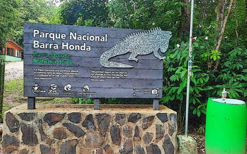
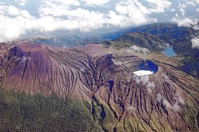
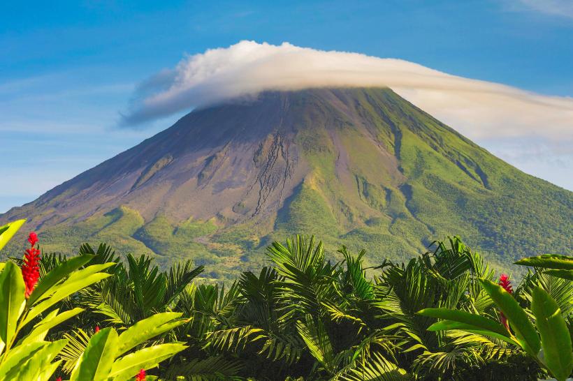
Rincón de la Vieja National Park (Active volcano and geothermal mud pots)
Santa Rosa National Park (Site of the 1856 Battle of Santa Rosa)
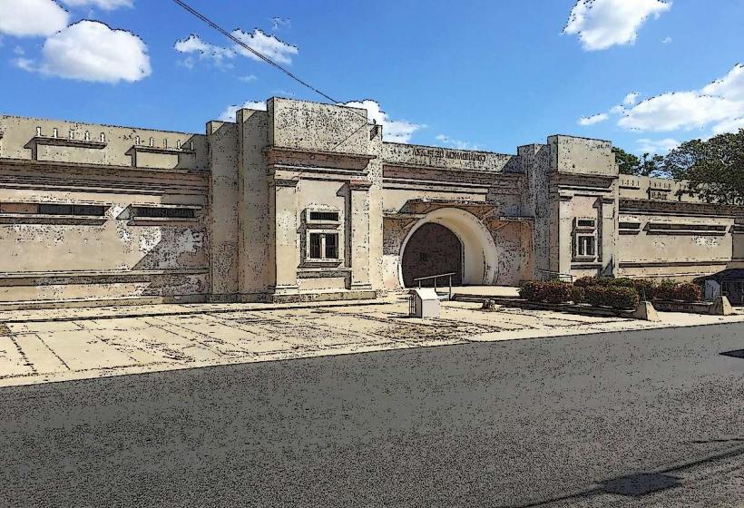
Nicoya Colonial Church (Parroquia de San Blas)
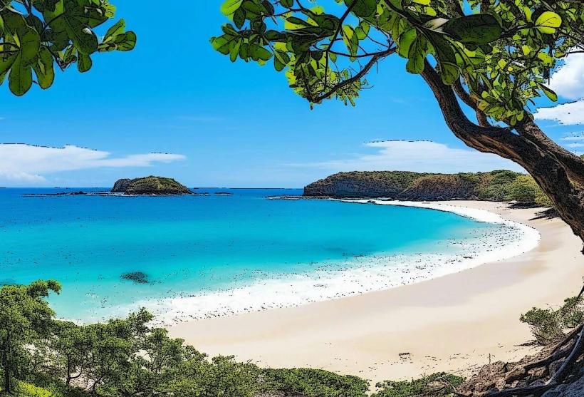
Las Baulas National Marine Park
Transportation Network
Movement relies on the Inter-American Highway (Route 1) and private vehicle transit. There is no metro or rail system. The Tica Bus and Pulmitan de Liberia provide regional connections to San José. Uber operates in Liberia and Tamarindo, but availability is sparse in rural areas. Official taxis are red. Roads in the coastal "Gold Coast" are frequently unpaved and require 4WD during the rainy season.
Safety & "Red Zones"
Guanacaste is generally safe, but property crime (theft from rental cars) is high at popular beaches. Avoid walking alone at night in certain sections of Tamarindo or the outskirts of Liberia. Physical "Red Zones" include the Tempisque River near the bridges, which has a high concentration of American crocodiles. Common scams involve "unauthorized" parking attendants (guachimanes) at beaches demanding payment for public spaces.
Digital & Financial Infrastructure
Internet speeds average 50–200 Mbps in Liberia and major resort towns via fiber optics. Mobile coverage is robust along highways but can drop in the deep Nicoya Peninsula. Card acceptance is universal in tourist zones; contactless payment is standard. ATMs are abundant in Liberia, Nicoya, and Tamarindo, but scarce in smaller beach villages like Nosara or San Juanillo.
Climate & Air Quality
Guanacaste is the driest and hottest province in Costa Rica. Temperatures range from 23°C to 36°C. The "Verano" (Dry Season) runs from December to April, characterized by intense sun and "Papagayo" winds. Air quality is fair; dust from unpaved roads and smoke from agricultural "slash-and-burn" clearing can impact respiratory health during the dry months.
Culture & Social Norms
The province is the cradle of Costa Rican folklore, including the National Dance (Punto Guanacasteco). Tipping is a mandatory 10% service charge in restaurants. Greetings involve a handshake or the "Grito Guanacasteco" (a celebratory yell) at festivals. Dress is casual and adapted for heat (light linens/cotton). Smoking is prohibited in all public parks and beaches.
Accommodation Zones
Liberia: Stay here for logistics, airport proximity, and access to volcanoes.
Papagayo Peninsula: Stay here for ultra-luxury resorts and calm bays.
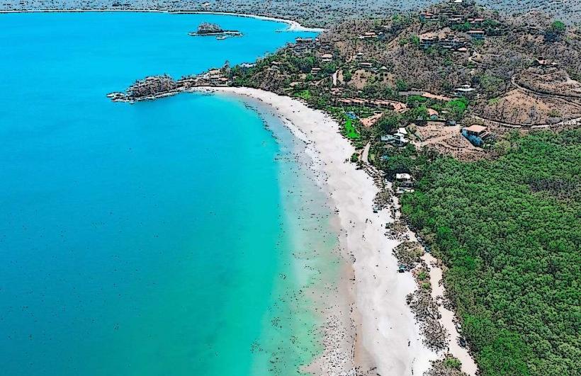
Tamarindo/Flamingo: Stay here for surfing, nightlife, and high-density amenities.
Local Cost Index
1 Espresso: 1,800 CRC ($3.50 USD)
1 Standard Lunch (Casado): 5,000 CRC ($9.80 USD)
1 Bus Ticket (Liberia to Coast): 1,500 CRC ($2.95 USD)
Nearby Day Trips
Nicaragua Border (Peñas Blancas): 80 km (1.5 hours), for cross-border transit to Rivas/San Juan del Sur.
Monteverde Cloud Forest: 120 km (3 hours), for a high-altitude climate shift.
Nosara: 115 km (2.5 hours), for world-class yoga and surf retreats.
Facts & Legends
The Nicoya Peninsula is one of the world's five Blue Zones, where residents frequently live past 100 years due to a diet of corn and beans, calcium-rich water, and strong social ties. A local legend describes the "Mona," a witch who transforms into a monkey to harass neighbors. Historically, the Guanacaste tree (Enterolobium cyclocarpum), the national tree of Costa Rica, was chosen for its ear-shaped seed pods, symbolizing the region's willingness to listen to the call of annexation.