Information
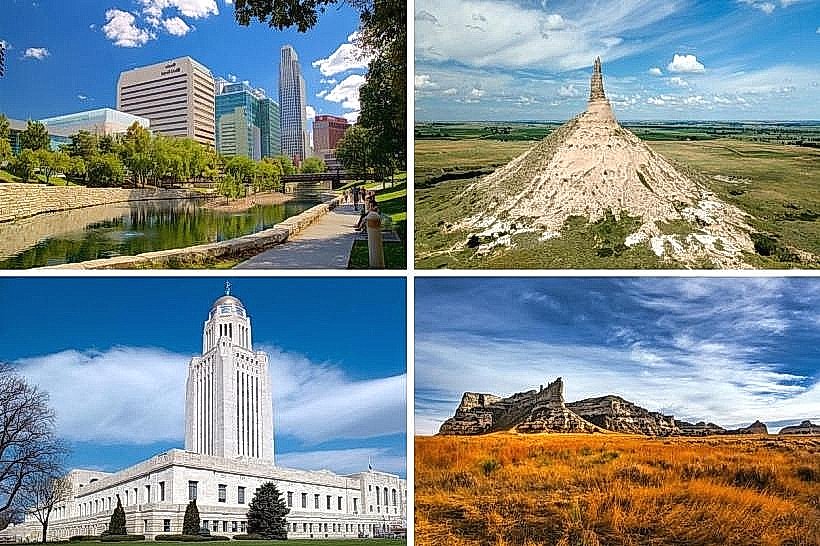
Continent: North AmericaNorth America, Continent
North America is situated in the Northern Hemisphere, bounded by the Arctic Ocean to the north, the Atlantic Ocean to the east, and the Pacific Ocean to the west. The continent comprises 23 sovereign nations and numerous territories, spanning from the Canadian Arctic to the narrow Isthmus of Panama.
Regional Subdivisions
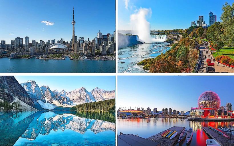
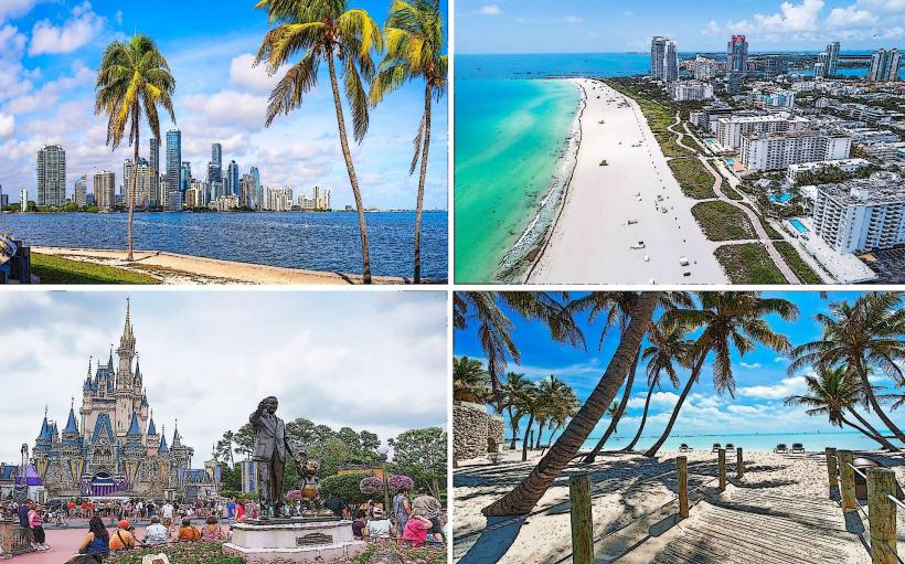
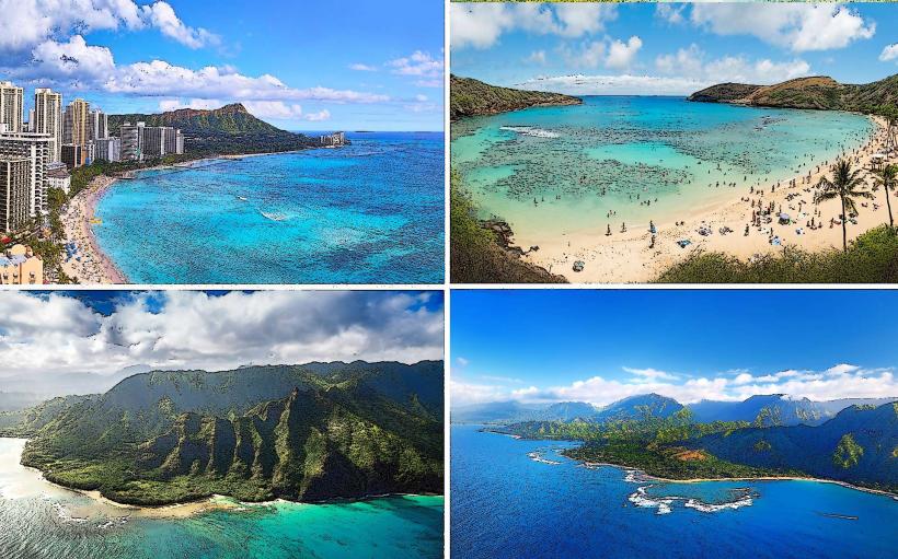
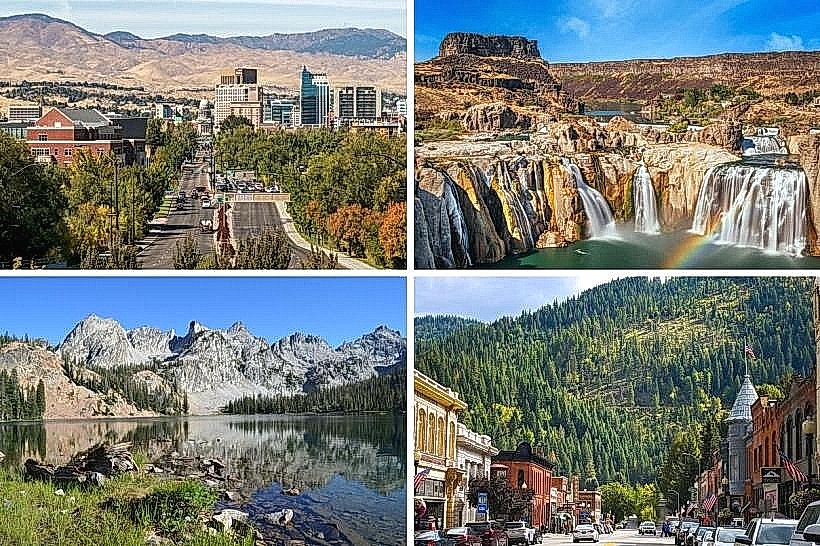
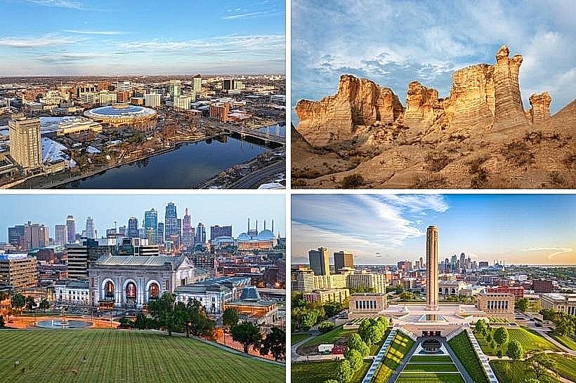
Northern America: Canada and the United States. Characterized by expansive landmasses, advanced industrial infrastructure, and temperate to arctic climates.
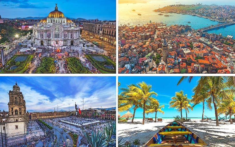
Mexico: The southern anchor of the North American tectonic plate. Defined by a transition from arid northern deserts to tropical southern highlands.
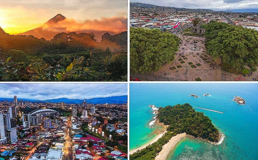
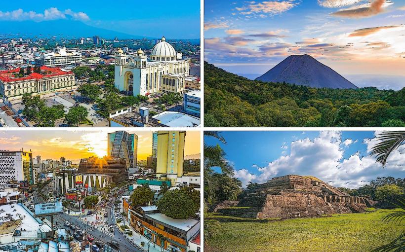
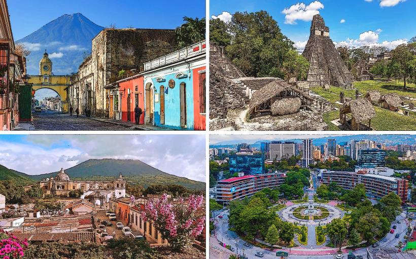
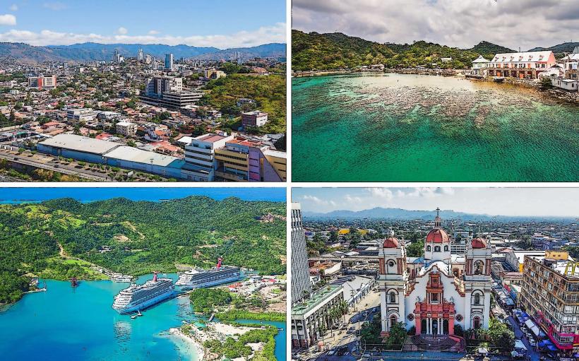
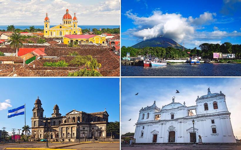
Central America: The narrow land bridge connecting to South America (Guatemala to Panama). Characterized by volcanic axes and tropical rainforests.
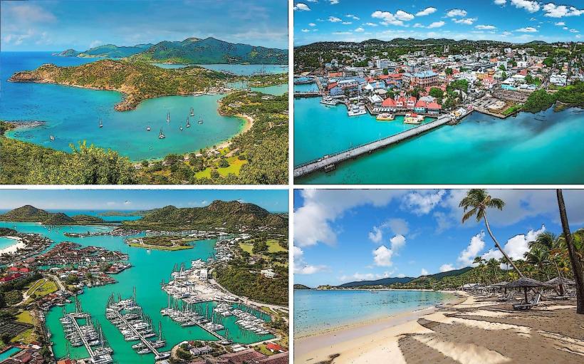
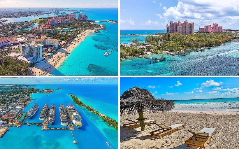
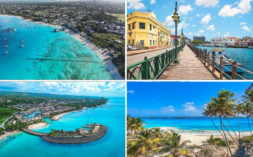
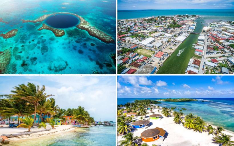
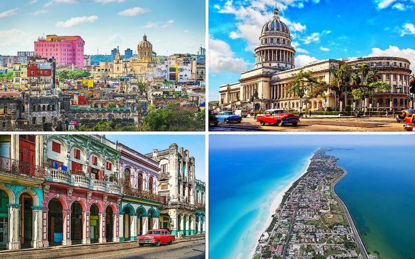
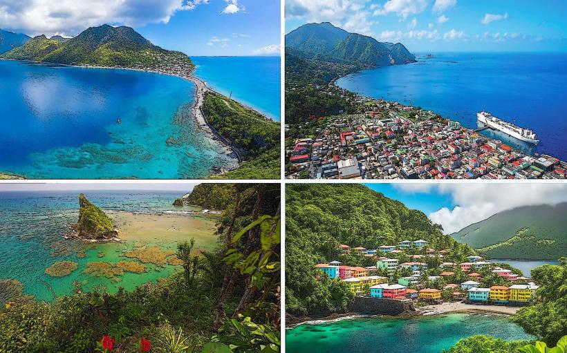
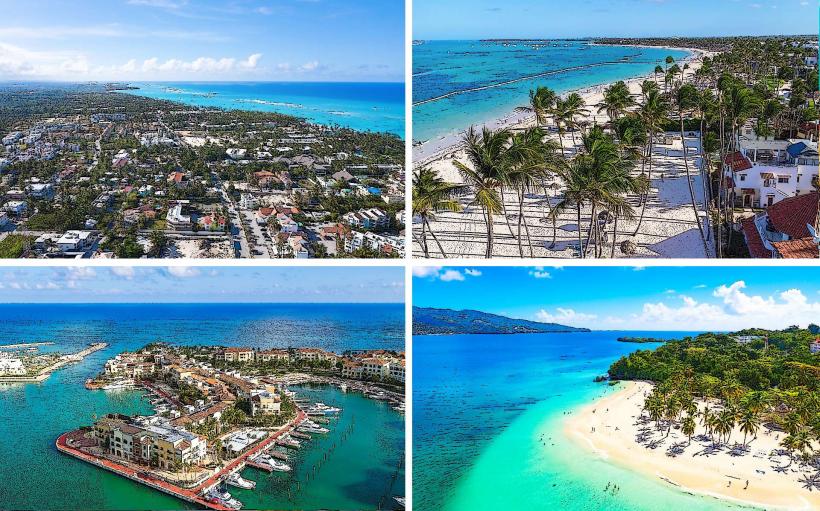
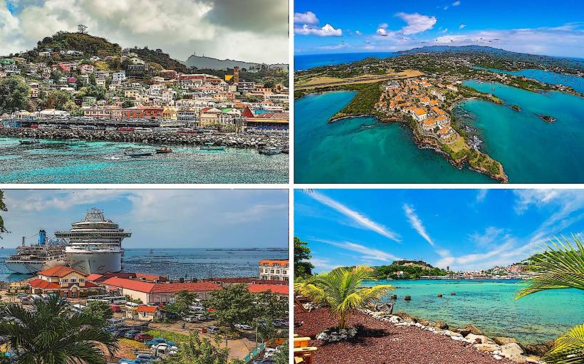
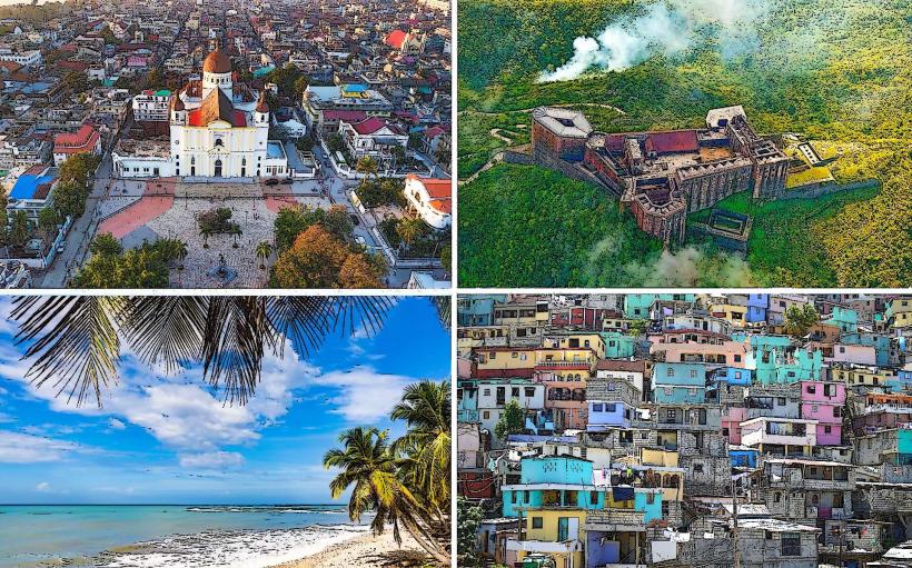
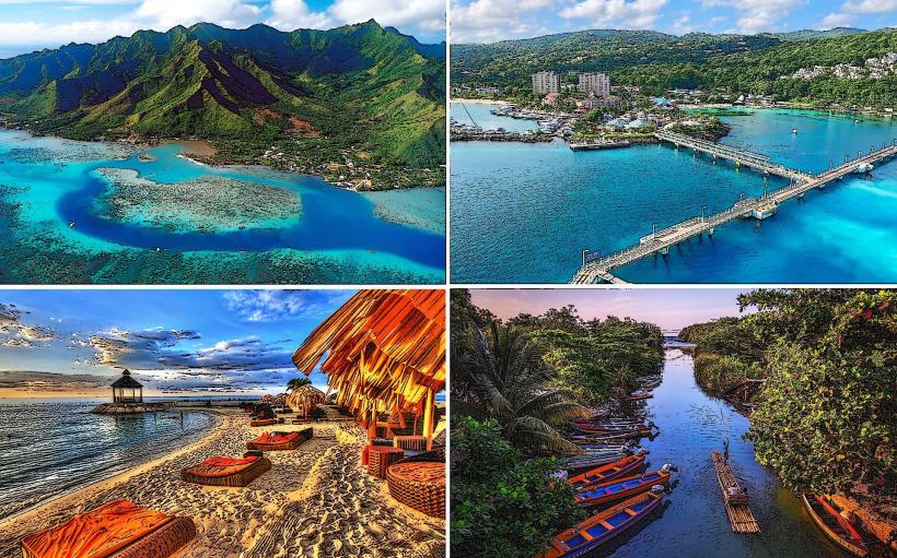
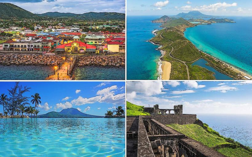
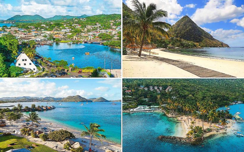
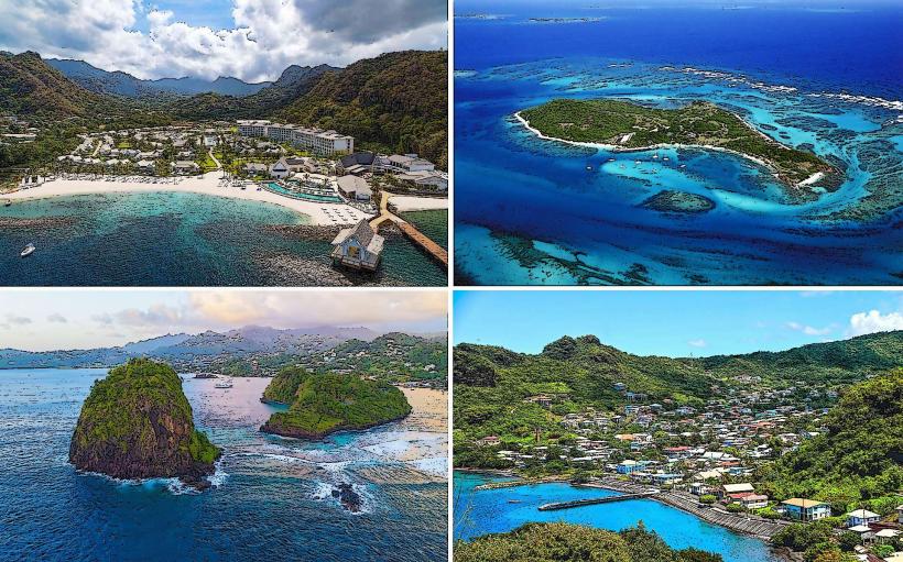
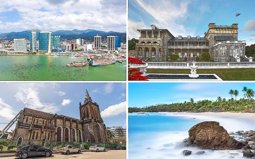
The Caribbean: An archipelagic region consisting of the Greater and Lesser Antilles. Defined by maritime tropical climates and tourism-dependent economies.
Primary Entry Hubs (Aviation)
Atlanta Hartsfield-Jackson (ATL): The world’s highest-volume airport, serving as the primary domestic and international transit node for the Eastern United States.
Mexico City Benito Juárez (MEX): The dominant hub for Latin American connectivity and the primary gateway to the Mexican interior.
Toronto Pearson (YYZ): The principal Canadian gateway for trans-Atlantic and trans-Pacific traffic.
Internal Connectivity & Transport
The continent is defined by a heavy reliance on aviation and road infrastructure. In Northern America, the Interstate Highway System and Trans-Canada Highway facilitate high-volume freight and passenger movement, while the rail network is primarily optimized for cargo rather than passengers. In Mexico and Central America, long-distance bus networks (First Class/Executive) are the primary mode of intercity transit. High-speed rail is limited to the Northeast Corridor (Acela) in the U.S., with most regional travel occurring via Low-Cost Carriers (LCCs) like Southwest, Volaris, or WestJet.
Visa & Border Regimes
Border logic is dictated by the US-Mexico-Canada Agreement (USMCA) framework, though no EU-style freedom of movement exists.
Electronic Travel Authorization (eTA/ESTA): Required for visa-exempt foreign nationals entering Canada or the U.S. by air.
CA-4 Visa: A regional agreement allowing free movement between Guatemala, El Salvador, Honduras, and Nicaragua.
Sovereign Borders: Most borders (particularly the U.S. southern border) involve rigorous customs and immigration inspections; there is no single-visa equivalent for the entire continent.
Climate Macro-Systems
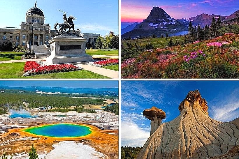
The Arctic/Subarctic System: Permanent permafrost and tundra dominating Northern Canada and Alaska.
The Continental System: Characterized by extreme seasonal temperature variance across the central U.S. and Canada.
The Tropical/Hurricane Belt: Dominates the Caribbean, Central America, and the Gulf Coast; defined by a distinct hurricane season (June–November).
Peak Season: June to August for Northern America; December to April for Mexico, Central America, and the Caribbean.
Health & Safety Macro-Zones
Tornado Alley: A high-risk zone for severe convective weather in the Central United States during spring and summer.
Seismic/Volcanic Zone: The Pacific Coast (San Andreas Fault) and the Central American Volcanic Arc are active tectonic risk areas.
Vector-Borne Risks: Dengue and Zika are endemic in tropical lowlands south of the U.S. border.
Public Safety: Highly variable; localized high-crime zones exist in specific urban centers in Central America and Mexico due to cartel or gang activity.
Dominant Languages & Currencies
English: The primary language of business and administration in the U.S. and Canada.
Spanish: The dominant language by population, spoken across Mexico, Central America, and much of the Caribbean.
French: Official status in Canada (Quebec) and several Caribbean islands (Haiti, Martinique).
The US Dollar (USD): The global reserve currency and primary tender in the U.S.; it is also the official currency of El Salvador and Panama and is widely accepted for tourism across the Caribbean.
Top 3 Tourism Corridors
The Maya World (Mundo Maya): A cultural and historical circuit spanning southern Mexico, Guatemala, and Belize.
The Pacific Coast Highway: A scenic road corridor extending from British Columbia down through California.
The Northeast Corridor: A high-density urban trajectory connecting Boston, New York, Philadelphia, and Washington, D.C.
Facts & Legends
North America is home to the Midcontinental Rift, a 2,000 km long geological scar where the continent began to split apart approximately 1.1 billion years ago. The rift failed, preventing the formation of a new ocean and leaving behind the massive copper deposits and deep basins that now hold the Great Lakes, the largest freshwater system on Earth.