Information
City: Gulf of ThailandCountry: Thailand
Continent: Asia
Gulf of Thailand, Thailand, Asia
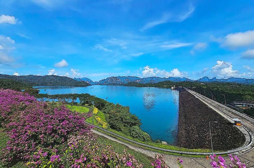
The Gulf of Thailand is a shallow, semi-enclosed arm of the South China Sea, bordered by Thailand, Cambodia, Vietnam, and Malaysia. In January 2026, the region is experiencing its peak tourist season, characterized by a transition to dry weather and cooling influences from the northeast monsoon.
Physical Geography & Bathymetry
Dimensions: Approximately 800 km long and up to 560 km wide, covering roughly 320,000 $km^2$.
Shallow Basin: It is one of the world's shallowest seas, with an average depth of 58 meters and a maximum depth of 85 meters in the central depression.
Hydrology: Limited water exchange with the South China Sea makes it sensitive to land-based pollution. Major inflows from the Chao Phraya and Mekong rivers lower salinity to 3.05%–3.25%.
Weather & Sea Conditions (Jan 21, 2026)
Monsoon Activity: A moderate high-pressure system from China is currently extending over the Gulf.
Advisory: Ships are advised to proceed with caution due to strong winds and isolated thundershowers.
Wave Heights: * Upper Gulf: 1–2 meters.
Lower Gulf: Up to 2 meters (especially from Nakhon Si Thammarat southward).
Temperature: Sea surface temperatures remain warm at 27°C–28°C. Air temperatures range from 21°C to 34°C.
Environmental Status 2026
Plastic Crisis: The Gulf remains a global hotspot for microplastic pollution. As of January 2026, the Chao Phraya River alone transports approximately 4,000 tonnes of plastic waste into the Gulf annually.
Climate Risk: Thailand has risen to 17th on the 2026 Global Climate Risk Index. High-intensity rainfall events (e.g., 350mm/day in southern zones) are causing increased sediment runoff and nutrient loading.
Water Scarcity: Despite coastal flooding, the broader basin faces a projected water shortage of 4,450 million $m^3$ for the 2026 dry season, affecting estuarine ecosystems.
Principal Island Groups
Samui Archipelago: Includes Ko Samui (luxury/infrastructure), Ko Pha-ngan (wellness/nightlife), and Ko Tao (global diving hub).
Eastern Seaboard: Includes Ko Chang (nature/hiking), Ko Kut, and Ko Samet.
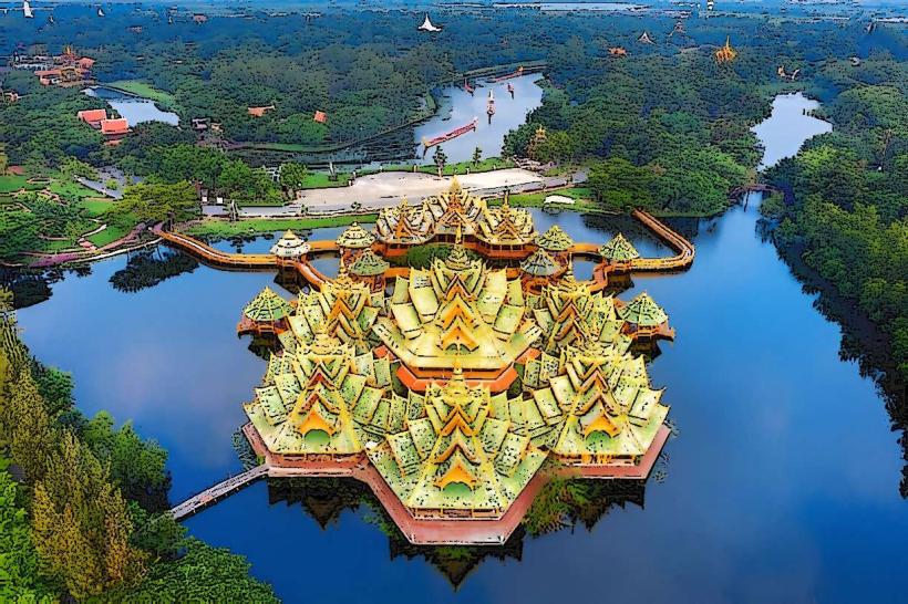
Ang Thong National Marine Park: A protected area of 42 limestone islands featuring the "Emerald Lake" lagoon.
Marine Life & Activity
Diving: While the Andaman Sea is at its peak in January, the Gulf offers stable conditions with visibility between 10–15 meters.
Biodiversity: Home to whale sharks (peak sightings March–May), dugongs (near the Malay Peninsula), and extensive coral reefs currently under monitoring for heat-stress recovery.
Industry: The Gulf is a critical source of seafood and contains significant offshore natural gas and oil reserves.
Local Cost & Logistics
Ferry Crossings: Standard vehicle ferry (Don Sak to Samui) is 170–250 THB.
National Park Entry: Foreigner fee for marine parks is typically 200–400 THB.
Connectivity: 5G coverage is consistent across the Samui archipelago; satellite internet is now standard for liveaboard vessels in the central Gulf.
Fact & Legend
The Gulf was once a vast dry plain during the last glacial period when sea levels were 125 meters lower. A recurring modern legend involves "Naga Fireballs" rising from the water, though this phenomenon is more commonly associated with the Mekong River. In 2026, a verified historical oddity remains the "Moving Museum" of vintage trams in Hiroshima-many of which were originally funded by trade profits flowing through the Gulf of Thailand's ports.