Information
City: HavreCountry: USA Montana
Continent: North America
Havre, USA Montana, North America
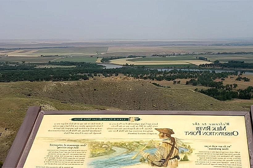
Havre serves as the county seat of Hill County and functions as a critical regional medical and agricultural trade center for the Hi-Line region of North Central Montana. It is situated on the Milk River, approximately 30 miles south of the United States-Canada border.
Historical Timeline
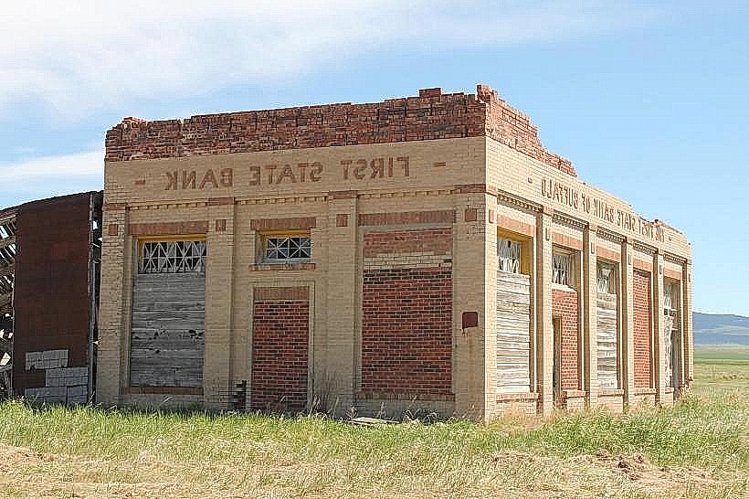
Havre was incorporated in 1893, primarily established as a major locomotive repair shop for the Great Northern Railway. The city evolved from a frontier rail town into a central hub for dryland farming and ranching during the early 20th-century homesteading boom. The most significant architectural event was the 1904 fire that destroyed the business district, leading to the construction of "Havre Beneath the Streets," an extensive underground tunnel system where businesses operated during the rebuilding. The completion of the Fresno Dam in 1941 remains the primary event shaping the region’s modern agricultural economy.
Demographics & Population
The population within city limits is approximately 9,300, with a micropolitan area population of roughly 16,000. The primary demographics are White (75.4%), Native American (14.2%), and Multiracial (7.1%). The median age is 34.2 years.
Urban Layout & Key Districts
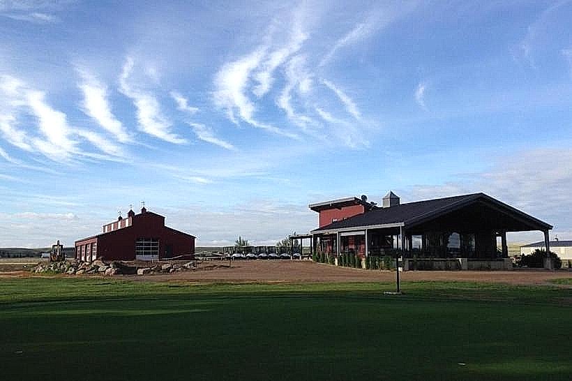
The city is organized along a grid system bisected by the BNSF Railway tracks and US Highway 2. The Downtown Historic District, located south of the tracks, contains the primary commercial and legal services, while the Highland Park area to the south is the principal residential zone. Montana State University-Northern is situated on the southern edge of the city.
Top City Landmarks
Havre Beneath the Streets (Historical underground mall)
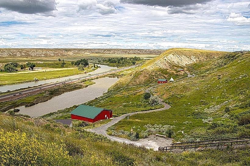
Wahkpa Chu'gn Buffalo Jump
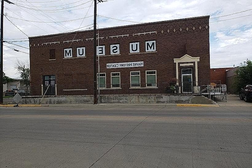
H. Earl Clack Memorial Museum
St. Jude Thaddeus Catholic Church
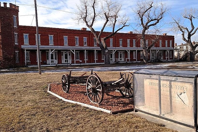
Fort Assinniboine (Located 6 miles southwest)
Transportation Network
Movement within Havre is primarily conducted via private vehicle. The North Central Montana Transit provides scheduled bus services within the city and to surrounding communities. Amtrak’s Empire Builder line serves the Havre station daily, connecting to Seattle and Chicago. Uber and Lyft have extremely limited to non-existent availability; local transit is supplemented by Havre City Taxi (white/silver vehicles). Traffic density is low, with peak congestion occurring only on 1st Street (US-2).
Safety & "Red Zones"
The general safety level is high. There are no designated "red zones," though standard caution is advised late at night near 1st Street bars. Common scams are negligible, but wildlife encounters (deer) on roadways pose a significant seasonal driving hazard.
Digital & Financial Infrastructure
Average internet speed is 100-200 Mbps via Spectrum or Triangle Communications. Main mobile carriers are Verizon and AT&T. Card acceptance is high at nearly all formal establishments. ATMs are widely available at local banks (Stockman Bank, Independence Bank) and convenience stores.
Climate & Air Quality
Temperatures range from -20°C in January to 30°C in July. The region is subject to extreme "Alberta Clipper" wind chills in winter. Air quality is generally excellent, though seasonal wildfire smoke from Western Montana or Canada can degrade visibility and health indices between July and September.
Culture & Social Norms
Tipping is expected at 15-20% for service. Handshakes are the standard greeting. Dress code is functional and casual, dominated by Western and outdoor wear. Alcohol is sold in licensed bars and casinos; smoking is prohibited in all indoor public spaces per state law.
Accommodation Zones
Stay along US Highway 2 (West end) for proximity to chain hotels and dining.
Stay near the Downtown Historic District for walking access to the rail station and local heritage sites.
Local Cost Index
1 Espresso: $4.50 (795 JPY)
1 Standard Lunch: $15.00 (2,650 JPY)
1 Transit Trip: $1.00 (177 JPY)
Nearby Day Trips
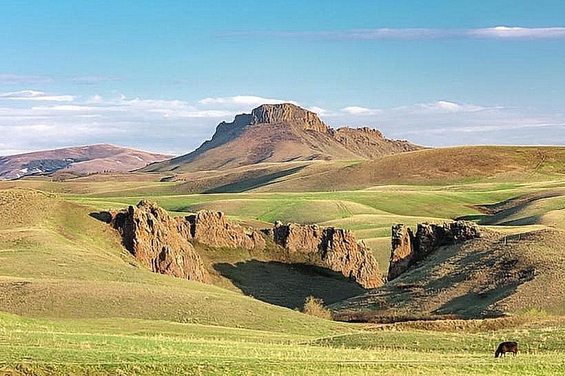
Beaver Creek Park (25 miles south)
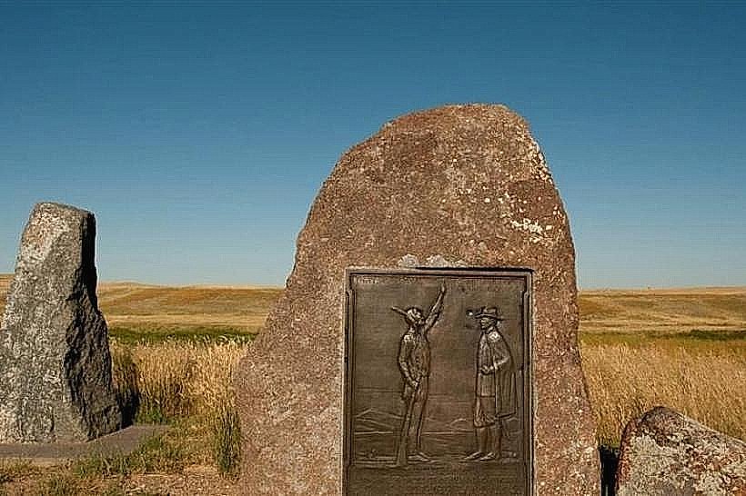
Bear Paw Battlefield (16 miles south)
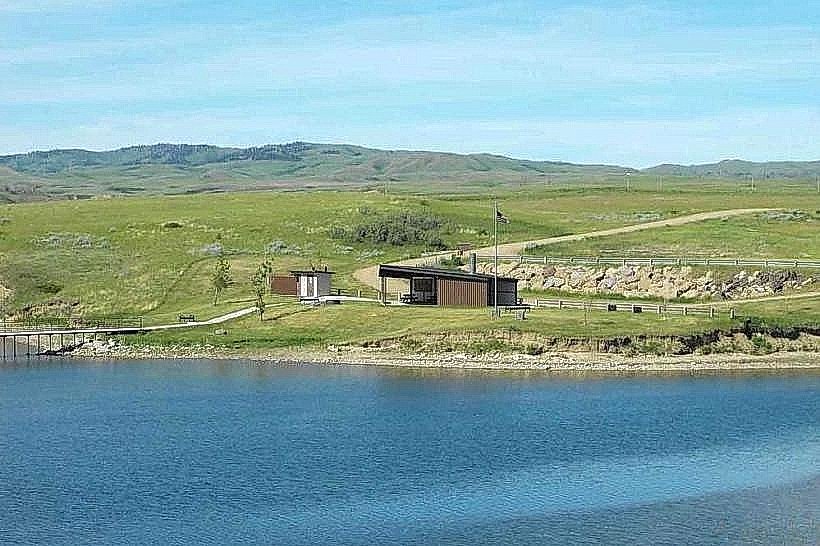
Fresno Reservoir (15 miles west)
Writing-on-Stone Provincial Park, Canada (85 miles northwest; Passport required)
Facts & Legends
Local lore centers on the "Havre Beneath the Streets" tunnels, which purportedly hosted illicit bordellos, opium dens, and bootlegging operations during Prohibition. While many stories are sensationalized for tourism, the physical existence of the underground transition during the 1904 fire is a verified architectural anomaly resulting from the city's refusal to stop commerce during reconstruction.