Information
City: MaiduguriCountry: Nigeria
Continent: Africa
Maiduguri, Nigeria, Africa
Maiduguri serves as the administrative capital of Borno State and the primary commercial hub for the Lake Chad Basin, facilitating trade between Nigeria, Chad, Cameroon, and Niger. It is located in the northeastern savanna region, situated along the seasonal Ngadda River.
Historical Timeline
Maiduguri was founded in 1907 by the British as a military and administrative outpost. It transitioned from a colonial provincial capital to the seat of the North-Eastern State (1967) and later Borno State (1976). The city underwent its most significant political and physical reconstruction following the peak of the Boko Haram insurgency (2009–2021), which necessitated a complete overhaul of its security architecture and the creation of massive internally displaced persons (IDP) camps. The primary event shaping its current urban form was the 1907 relocation of the Shehu of Borno’s seat from Kukawa to Yerwa (the core of modern Maiduguri).
Demographics & Population
The metropolitan population is approximately 2,150,000 as of 2026, significantly bolstered by regional migration and displacement. The top three ethnic demographics are the Kanuri, Shuwa Arab, and Hausa. The median age is approximately 17.9 years.
Urban Layout & Key Districts
The city is organized around the Shehu’s Palace and the central market. Key districts include the Government Reserved Area (GRA) to the south, containing administrative and diplomatic residences; Yerwa (Central), the traditional and historic core; and the University of Maiduguri (UNIMAID) complex to the east. The city is largely defined by its security perimeter and a series of concentric roads.
Top City Landmarks
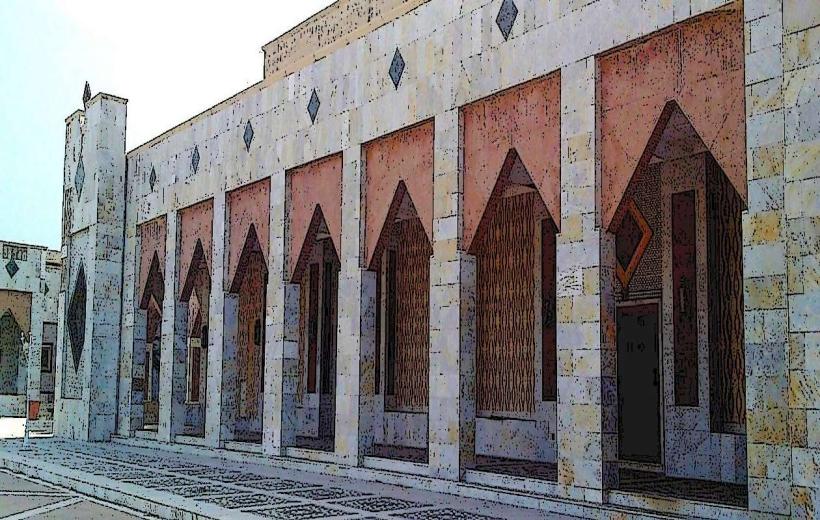
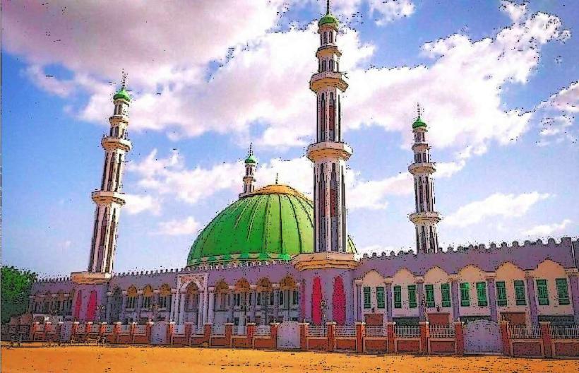
Shehu of Borno’s Palace
Maiduguri Monday Market
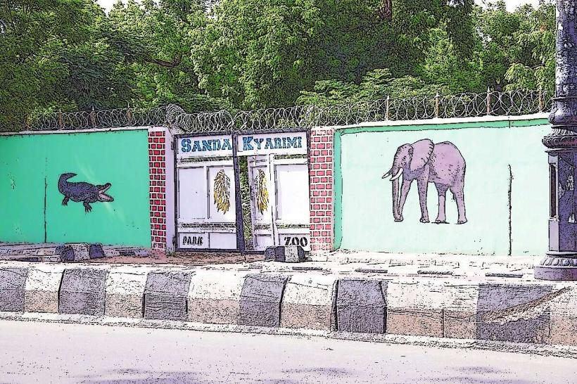
Kyarimi Park (Zoo and Botanical Gardens)
University of Maiduguri
Transportation Network
Internal movement relies on a radial road network. Transit is dominated by "Keke" (tricycles) and local minibuses; commercial motorcycles (Okada) are frequently banned within the city for security reasons. There is no metro system. Ride-sharing is limited. Official taxis are typically painted yellow with green stripes. Traffic density is high at the Post Office and Monday Market junctions.
Safety & "Red Zones"
The safety level is low to moderate. While the city center is heavily fortified and secured by the military, the outskirts and roads leading out of the city (especially toward Damaturu and Bama) are high-risk zones for ambush and kidnapping. Travelers are advised to remain within the "secured" urban core and adhere to strict curfews if imposed by the military.
Digital & Financial Infrastructure
Average internet speeds are 20–35 Mbps on 4G networks. Main carriers are MTN, Airtel, and Glo. Card acceptance is high in the GRA and formal sectors, but the economy is heavily cash-dependent, especially in the Monday Market. ATMs are concentrated along the Sir Kashim Ibrahim Road.
Climate & Air Quality
Temperatures range from 12°C in January to 45°C in April. Maiduguri has a semi-arid climate with a very short rainy season (July–September). Air quality is poor during the Harmattan (December–February) due to extreme Saharan dust and localized pollution from generators used during power outages.
Culture & Social Norms
Tipping is voluntary but highly appreciated (5–10%). Conservative Islamic norms are standard; modest dress covering the shoulders and knees is mandatory for all visitors. Alcohol is restricted and only available in designated military "Mami" markets or specific private hotels. Smoking in public is socially discouraged.
Accommodation Zones
Maiduguri GRA: Recommended for high security, presence of international NGOs, and proximity to government offices.
University Area: Recommended for a more academic environment and moderate security.
Local Cost Index
1 Espresso: ₦3,200 ($2.10)
1 Standard Lunch: ₦8,000 ($5.30)
1 Metro/Bus Ticket: ₦500 ($0.33) - Keke/Minibus rate.
Nearby Day Trips
Lake Chad (Baga): 160 km (3 hours - High security risk, military clearance required)
Sambisa Forest Edges: 60 km (90 minutes - Military restricted zone)
Biu Plateau: 180 km (3.5 hours)
Sanda Kyarimi Park: Within city limits.
Facts & Legends
Maiduguri is often called "Home of Peace," a title residents have worked to reclaim post-insurgency. A local legend concerns the "Secret Wells of Yerwa," which were supposedly dug by the early Kanuri settlers and blessed by saints to never run dry, even during the harshest Sahelian droughts. It is a verified historical oddity that the city was one of the first in Northern Nigeria to be designed with wide boulevards by colonial engineers to accommodate both traditional horse processions and modern vehicles.