Information
City: MankatoCountry: USA Minnesota
Continent: North America
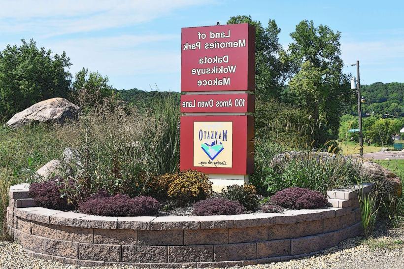
Mankato, USA Minnesota, North America
Mankato is an independent city and the seat of Blue Earth County, situated at the confluence of the Minnesota and Blue Earth Rivers. Known as the "Key City," it is defined by its role as a major regional hub for education and healthcare, its scenic river valley topography, and its somber historical significance as the site of the largest mass execution in U.S. history.
Historical Timeline
Inhabited by the Dakota people for centuries; the name is a corruption of Mahkato (Blue Earth). Primary governance began with its 1852 founding by Henry Jackson and Parsons King Johnson. A critical and tragic historical event occurred on December 26, 1862, when the U.S. Army hanged 38 Dakota men following the Dakota War of 1862. The 20th century saw the city grow as an agricultural and manufacturing center, particularly in granite and limestone quarrying. In the 21st century, the city has focused on reconciliation efforts with the Dakota Nation and its expansion as a "med-tech" and collegiate hub.
Demographics & Population
The population is approximately 46,500 (Metro area ~111,000). The demographics are White (83%), Black or African American (7%), Asian (3.5%), and Hispanic or Latino (5%). The population is notably young (median age ~26) due to the presence of Minnesota State University, Mankato. The economy is driven by healthcare (Mayo Clinic Health System), education, and manufacturing.
Urban Layout & Key Districts
The city is divided by the Minnesota River, with the primary urban core on the east bank.
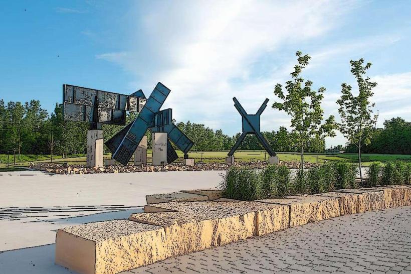
City Center: The revitalized downtown hub containing the Mayo Clinic Health System Event Center, Old Town’s independent shops, and the CityArt Walking Sculpture Tour.
University District: A high-density area south of downtown dominated by the Minnesota State University campus and student-oriented retail.
Old Town: Located on the northern end of downtown, known for its historic 19th-century architecture, antique shops, and local eateries.
North Mankato: An independent but integrated city across the river, primarily residential with a hilltop district overlooking the valley.
The Hilltop: The primary commercial "big box" and retail district located on the plateau east of the river valley.
Top City Landmarks
Reconciliation Park: A memorial site featuring a 67-ton limestone buffalo and a scroll listing the names of the Dakota 38, dedicated to healing and remembrance.
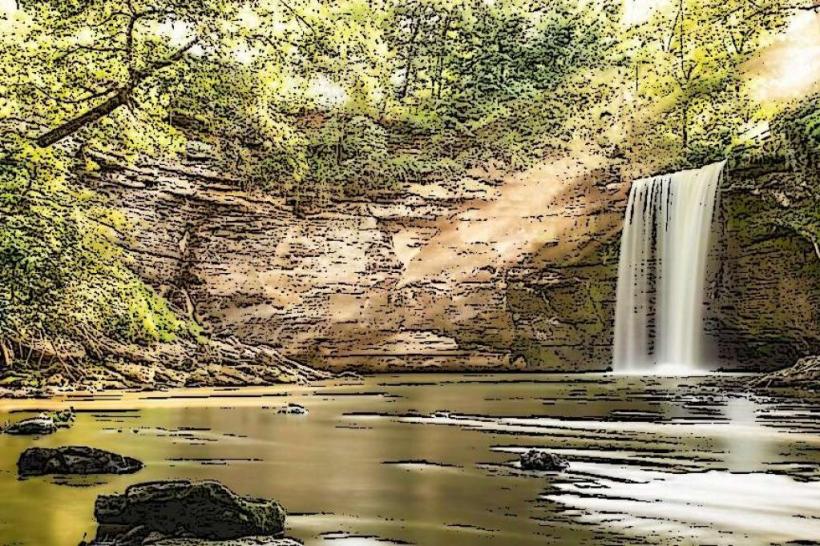
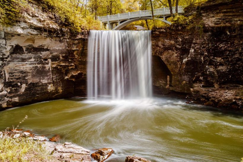
Minneopa State Park: Located 8 km west; features a double waterfall dropping 40 feet into a gorge and a re-established American Plains Bison herd.
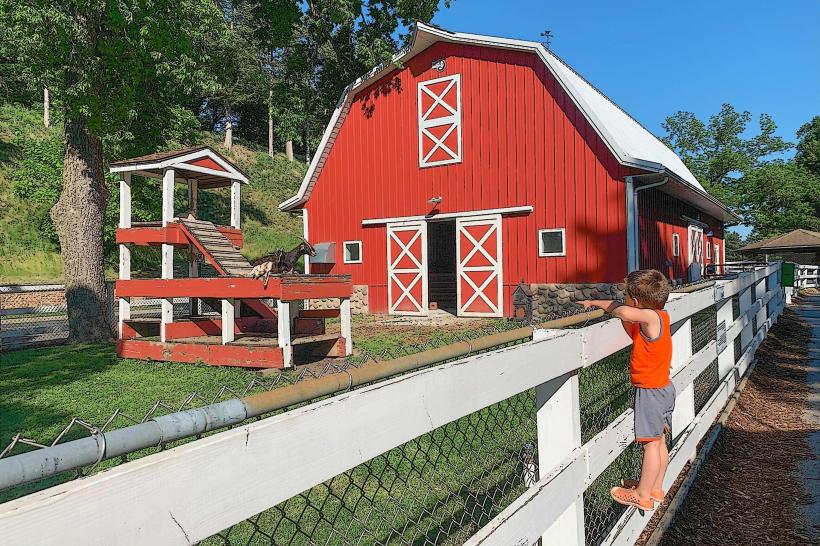
Sibley Park: A historic park at the river confluence featuring a botanical garden, a petting zoo, and the "Kiwanis Holiday Lights" display.
Betsy-Tacy Houses: The childhood homes of author Maud Hart Lovelace, which served as the setting for her world-famous book series.
The Blue Earth County Courthouse: A French Second Empire architectural landmark built in 1889 using local Kasota limestone.
Mount Kato: A regional ski and mountain bike area located on the southern bluffs.
Transportation Network
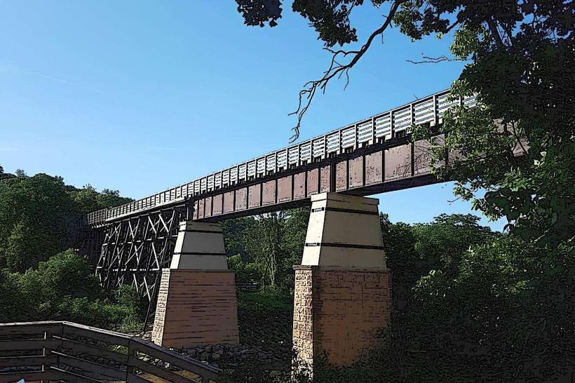
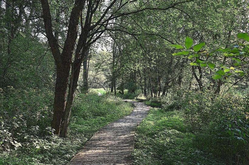
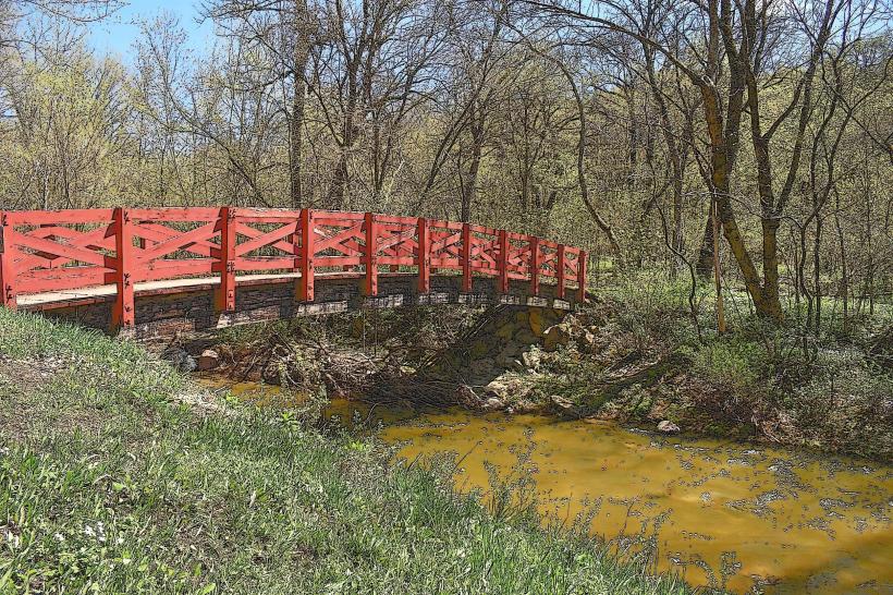
Movement is supported by the Mankato Transit System (MTS) bus lines. The city is a major junction for US-169, US-14, and MN-60. Commercial air service is via Mankato Regional Airport (MKT) for general aviation, with commercial flights accessed via MSP (130 km north). The city is a major hub for regional cycling, anchored by the Red Jacket Trail and the Sakatah Singing Hills State Trail.
Safety & "Red Zones"
The general safety level is moderate. Property crime is significantly higher than the state average, particularly in high-density student areas and the City Center. Caution is advised at night in the University District and parts of North Riverfront Drive due to localized disturbances. Environmental hazards include seasonal flooding of the Minnesota River and extreme sub-zero winter temperatures.
Digital & Financial Infrastructure
Internet speeds average 500+ Mbps with fiber availability via Consolidated Communications and Spectrum. Main mobile carriers are Verizon and AT&T. Card acceptance is universal. ATMs are concentrated in the City Center and the Hilltop retail district.
Climate & Air Quality
Temperatures range from -14°C to -3°C in winter and 17°C to 28°C in summer. The valley location can trap humidity in summer and create localized "micro-climates" with heavy fog. Air quality is high.
Culture & Social Norms
The standard tipping percentage is 20%. A "Collegiate-Direct" and friendly greeting is standard. Dress codes are "Casual-Midwestern." The city is culturally defined by its Dakota Heritage, its identity as a "College Town," and its annual Mahkato Pow Wow.
Local Cost Index
1 Espresso: $4.25 (USD)
1 Standard Lunch: $16.00 (USD)
1 Minneopa State Park Vehicle Permit: $7.00.
Nearby Day Trips
New Ulm, MN: (45 km west; a heavily German-influenced town home to the August Schell Brewery).
St. Peter, MN: (20 km north; home to Gustavus Adolphus College and the historic state asylum).
Kasota, MN: (15 km north; known for its limestone quarries and "Drive a Tank" attraction).
Facts & Legends
Mankato was the setting for the fictional town in the Little House on the Prairie TV series (though not in the original books). Historically, a 1990s prank website convinced many that Mankato was a tropical paradise with "hot springs" and palm trees. A local legend involves the "Witch of Holberg Cemetery," a supposedly haunted grave near the Red Jacket Trail. Another legend concerns the "Secret Knights of the Forest" documents hidden in the cornerstone of MSU’s Old Main building to facilitate the removal of Indigenous peoples in the 1860s.