Information
City: New BedfordCountry: USA Massachusetts
Continent: North America
New Bedford, USA Massachusetts, North America
New Bedford is an independent city in Bristol County, situated on the Acushnet River and Buzzards Bay. Known as "The Whaling City," it was the wealthiest city in the world during the mid-19th century and remains the highest-grossing commercial fishing port in the United States. It is defined by its deep maritime heritage, its role in the Abolitionist movement, and its modern identity as a center for offshore wind energy development.
Historical Timeline
Inhabited by the Wampanoag people for millennia. Primary governance eras include its 1787 founding as a village within Dartmouth and its 1847 incorporation as a city. A critical historical event was the 1841 departure of Herman Melville on a whaling voyage, which inspired Moby-Dick. During the mid-19th century, New Bedford was a primary terminus on the Underground Railroad, famously serving as the first home of freedom for Frederick Douglass. As the whaling industry declined in the late 1800s, the city transitioned into a massive textile manufacturing hub before evolving into its current industrial fishing and green energy status.
Demographics & Population
The population is approximately 101,000. The demographics are White (62%), Hispanic or Latino (23%), and Black or African American (7%). The city has an exceptionally strong Portuguese and Cape Verdean heritage, with approximately 38% of residents claiming Portuguese ancestry. It is a working-class community with a high density of maritime and industrial labor.
Urban Layout & Key Districts
New Bedford is characterized by its hilly terrain leading down to a massive, protected deep-water harbor.
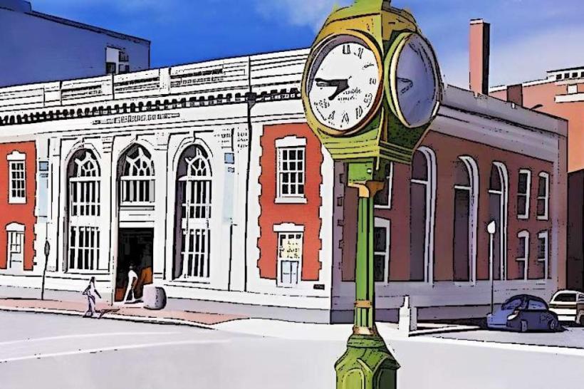
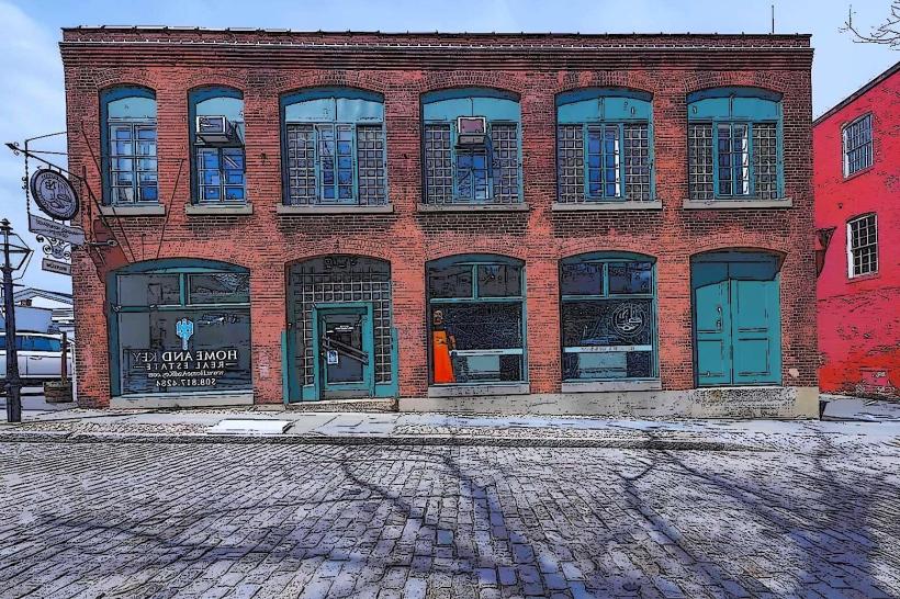
Historic Downtown: A cobblestoned district preserved within the National Park, featuring 19th-century counting houses and maritime museums.
The Waterfront: An active industrial zone protected by a massive hurricane barrier, housing the nation's premier scallop and groundfish fleet.
North End: A high-density residential and commercial district with strong Portuguese cultural roots and industrial parks.
South End: A coastal peninsula featuring Fort Taber Park, beaches, and a mix of multi-family housing and historic mansions.
West End: A predominantly residential area characterized by historic Victorian and Federal-style architecture.
Top City Landmarks
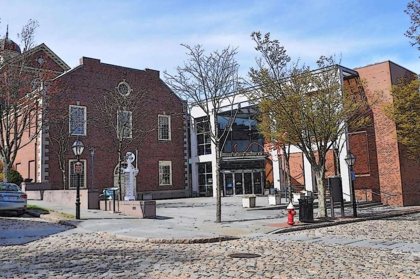
New Bedford Whaling National Historical Park: A 13-block area preserving the heritage of the American whaling industry.
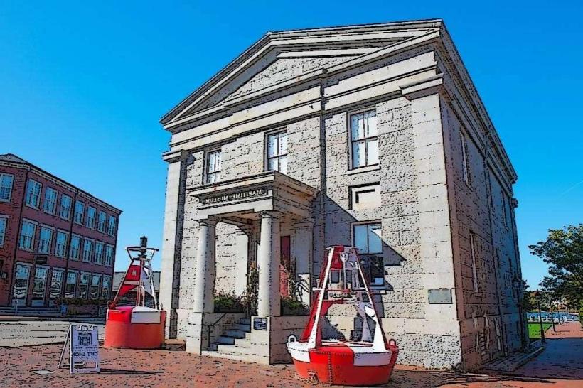
New Bedford Whaling Museum: The largest museum in the world dedicated to the history of whaling and the biology of whales.
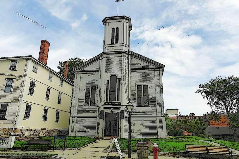
Seamen’s Bethel: The 1832 chapel immortalized in Moby-Dick as the "Whaleman's Chapel."
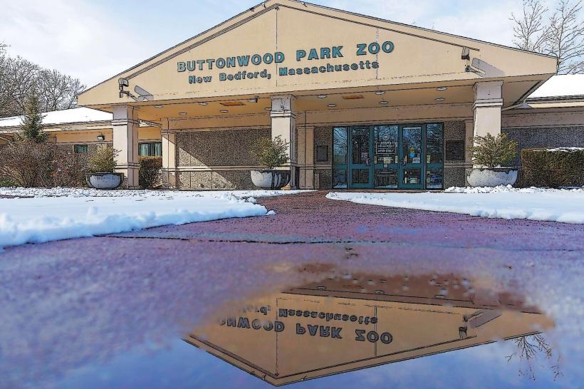
Buttonwood Park Zoo: One of the oldest zoos in the United States, focusing on North American wildlife.
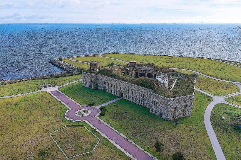
Fort Taber/Fort Rodman: A Civil War-era coastal fortification offering panoramic views of Buzzards Bay.
New Bedford Fishing Heritage Center: Documenting the history and culture of the city's modern commercial fishing industry.
Transportation Network
Movement is serviced by SRTA (bus system) and the South Coast Rail (MBTA Commuter Rail extension). The city is accessed via I-195 and Route 140. It is a major ferry hub for service to Martha’s Vineyard and Cuttyhunk. Commercial air service is via New Bedford Regional Airport (EWB) or Logan International (BOS). Ride-sharing is universal. Traffic density is moderate but prone to bridge-related delays at the New Bedford-Fairhaven bridge.
Safety & "Red Zones"
The general safety level is moderate to low. New Bedford reports crime rates significantly higher than the Massachusetts state average, particularly regarding property crime and narcotics-related offenses. Caution is advised at night in parts of the North End (near Weld St) and certain blocks in the South End near the housing projects. There are no officially designated "red zones." Common scams involve fraudulent "seafood market" solicitations and "vessel repair" service scams targeting tourists near the docks.
Digital & Financial Infrastructure
Internet speeds average 500+ Mbps with fiber availability via Xfinity and Verizon Fios. Main mobile carriers are Verizon and AT&T. Card acceptance is universal in the downtown and commercial hubs. ATMs are concentrated in the Downtown area and along Acushnet Avenue.
Climate & Air Quality
Temperatures range from -4°C to 3°C in winter and 18°C to 27°C in summer. The maritime influence often prevents extreme temperature swings compared to inland Massachusetts. Air quality is moderate, occasionally impacted by industrial emissions and harbor-related sulfur from large vessels.
Culture & Social Norms
The standard tipping percentage is 18–25%. A handshake is the standard greeting. Dress codes are "Working-Class-Casual" or "Maritime-Technical." The city is culturally defined by its "Whaling City" grit, its world-class Portuguese cuisine (particularly seafood and linguica), and its status as a sanctuary for those seeking "the light of freedom."
Accommodation Zones
Historic Downtown: Recommended for boutique stays and walkable access to museums and ferries.
North End / I-195: Recommended for standard national hotel chains and highway convenience.
Local Cost Index
1 Espresso: $4.25 (USD)
1 Standard Lunch: $17.00 (USD)
1 Ferry Fare (to Martha's Vineyard): $15.00–$35.00 (Variable).
Nearby Day Trips
Martha's Vineyard: (1-hour ferry ride).
Newport, RI: (45 km west; Gilded Age mansions).
Providence, RI: (50 km northwest).
Facts & Legends
New Bedford was the first city in the U.S. to have a library open to all citizens regardless of status. Historically, it was the "city that lit the world" before the discovery of petroleum. A local legend involves the "Ghost of the Whaling Museum," a rumored spectral figure associated with the massive Blue Whale skeleton on display. Another legend concerns the "Underground Railroad Tunnels," referring to rumored subterranean passages used to hide freedom seekers in the 1850s.