Information
City: PhillipsburgCountry: USA New Jersey
Continent: North America
Phillipsburg, USA New Jersey, North America
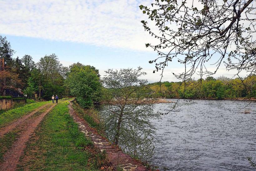
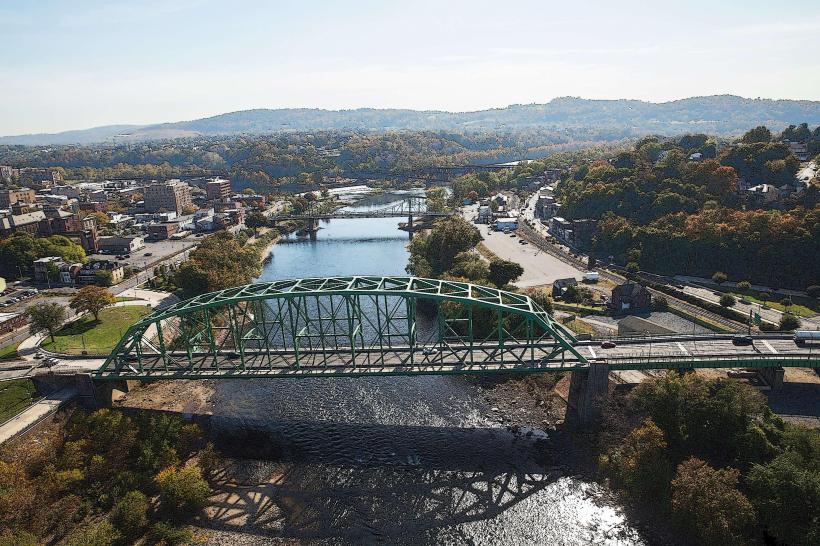
Phillipsburg is situated on the Delaware River in Warren County, directly across from Easton, Pennsylvania. It serves as the western terminus of the Central Railroad of New Jersey and is characterized by its steep topography and industrial heritage.
Historical Timeline
Founded in 1861, Phillipsburg became a critical transportation nexus where five major railroads converged. Primary governance eras include its 19th-century peak as a dominant iron and steel manufacturing center and its mid-20th-century role as the headquarters for Ingersoll Rand. The city’s history is inextricably linked to the Delaware River and the Morris Canal, which once facilitated the transport of anthracite coal. The late 20th century saw significant industrial decline, followed by 21st-century efforts to leverage its rail history for tourism and redevelopment.
Demographics & Population
The population is approximately 15,200. The demographics are White (67%), Hispanic or Latino (14%), Black or African American (11%), and Asian (1%). The median age is 37.4 years.
Urban Layout & Key Districts
The city is built on a series of hills overlooking the river.
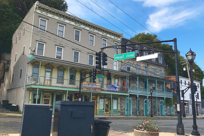
Downtown (South Main Street): The historic commercial core, featuring antique shops, local diners, and proximity to the free bridge to Easton.
The Hill: A high-elevation residential district offering views of the Delaware River valley.
Valley View: A suburban-style residential area in the northern section.
Ingersoll Heights: Historic residential blocks originally developed for industrial workforce housing.
Top City Landmarks
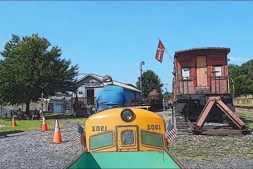
Delaware River Railroad Excursions: Operating historic steam and diesel train rides along the river.
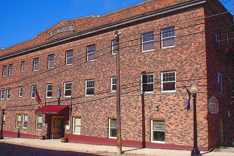
Phillipsburg Railroad Historians Museum: Featuring preserved locomotives and rolling stock.
The Free Bridge: A historic crossing connecting Phillipsburg to Easton, PA.
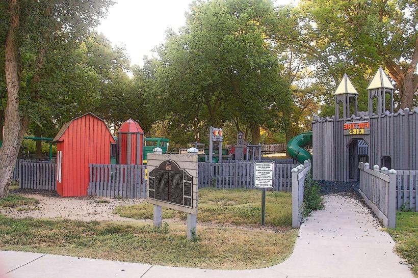
Walters Park: The city's primary recreational space.
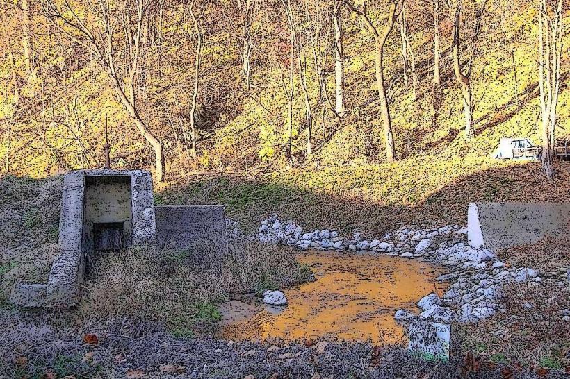
Morris Canal Arch: A surviving architectural remnant of the 19th-century canal system.
Transportation Network
Movement is primarily automotive. The city is served by US Route 22, Route 57, and is in close proximity to I-78. Public transit is limited; the Trans-Bridge Lines provides bus service to NYC and Bethlehem, PA. There is no active passenger rail service, though it remains a major active freight rail hub. Ride-sharing via Uber and Lyft is available but less frequent than in urban coastal NJ. Traffic density is moderate, peaking at the bridge crossings to Pennsylvania.
Safety & "Red Zones"
The general safety level is moderate. Property crime, specifically related to aging residential areas, is the primary issue. There are no designated "red zones," though standard urban awareness is advised at night along the South Main Street corridor and in high-density residential blocks near the river. Common scams are rare, typically involving fraudulent local contractor solicitations.
Digital & Financial Infrastructure
Internet speeds average 300 Mbps with availability via Service Electric and Xfinity. Main mobile carriers are Verizon, AT&T, and T-Mobile. Card acceptance is universal in retail chains; cash is preferred in older downtown storefronts. ATMs are concentrated on South Main Street and near the major shopping centers on Route 22.
Climate & Air Quality
Temperatures range from -5°C to 2°C in winter and 19°C to 28°C in summer. Air quality is high. Specific weather risks include seasonal flooding of the Delaware River and heavy winter snowfall compared to coastal New Jersey.
Culture & Social Norms
The standard tipping percentage is 18–25%. A handshake is the standard greeting. Dress codes are casual ("Working-Class Industrial"). The city is culturally defined by its rivalry with Easton (the "Turkey Day" football game), its deep railroading pride, and its status as a "gateway" town between the Lehigh Valley and Northern New Jersey.
Accommodation Zones
Route 22 Corridor: Recommended for national hotel chains and immediate access to regional highways.
Easton, PA: Many visitors stay directly across the river in downtown Easton for a higher density of boutique accommodations.
Local Cost Index
1 Espresso: $3.75 (USD)
1 Standard Lunch: $14.00 (USD)
1 Trans-Bridge Bus (to NYC): $32.00 (USD)
Nearby Day Trips
Easton, PA: Home of the Crayola Experience (Directly across the bridge).
Delaware Water Gap: (35 km north).
Bethlehem, PA: SteelStacks and Sands Casino (20 km west).
Spruce Run Recreation Area: (25 km east).
Facts & Legends
Phillipsburg is the birthplace of the "Sloppy Joe" sandwich variant specific to New Jersey. Historically, the town was the site of the first successful use of the "Lidgerwood" cableway for heavy industrial lifting. A local legend involves the "Ghost of the Morris Canal," a spectral mule driver said to appear near the old locks on foggy autumn nights. Another legend concerns secret Prohibition-era tunnels connecting riverfront basements to the Delaware for the clandestine movement of spirits.