Information
City: PuttalamCountry: Sri Lanka
Continent: Asia
Puttalam, Sri Lanka, Asia
Puttalam is a major town in the North Western Province, situated on the edge of the Puttalam Lagoon. It is the center of Sri Lanka’s salt, coconut, and cement industries and serves as a vital transition point between the Western and Northern provinces.
Historical Timeline
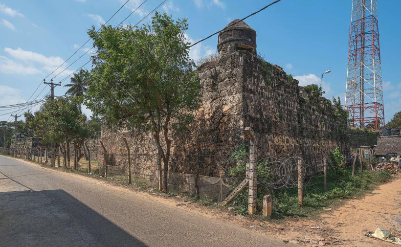
Puttalam has been a center for maritime trade for over a millennium. Arab traders arrived in the 8th century, establishing a community that defined the town’s cultural identity. In 1344, the traveler Ibn Battuta visited the town, describing it as a prosperous port. It later came under Dutch and British colonial control, where it was developed as a hub for salt production and canal-based transport.
Demographics & Population
The population is approximately 50,000. The demographic is predominantly Sri Lankan Moor (Muslim), with significant Sinhalese and Sri Lankan Tamil minorities. The economy is driven by salt salterns, aquaculture (prawn farming), coconut plantations, and the massive Holcim cement factory.
Urban Layout & Key Districts
Puttalam Town: A dense commercial center with narrow streets and traditional architecture.
The Lagoon Front: An industrial and ecological zone used for salt harvesting and fishing.
Palavi: A southern suburb housing the primary salt salterns and the railway junction.
Norochcholai: Located on the Kalpitiya peninsula nearby, home to the country's main coal power plant.
Top Landmarks
Puttalam Salt Salterns: Vast evaporation pans that produce a significant portion of the country's salt supply.
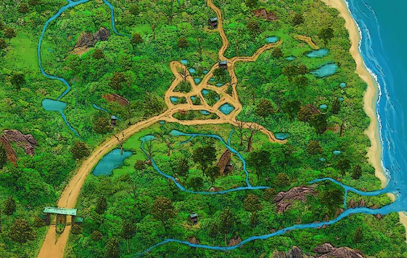
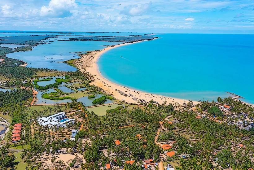
Puttalam Lagoon: One of the largest lagoons in Sri Lanka, essential for the local fishing and prawn industries.
St. Anne’s Church, Talawila: A major Catholic pilgrimage site located on the peninsula.
Mohideen Jumma Mosque: An architectural centerpiece reflecting the town's Islamic heritage.
Transportation Network
Road: Situated at the junction of the A12 (to Anuradhapura) and the A10 (to Kurunegala).
Rail: Terminus of the Puttalam Line from Colombo. The rail link is primarily used for industrial freight, though passenger services exist.
Public Transit: A central hub for buses heading to the Northern Province and the Cultural Triangle.
Local Transit: Tuk-tuks are the primary mode; the town is also a major stop for long-distance private vans.
Safety & "Red Zones"
Heat: The region is exceptionally dry and hot; hydration is critical.
Industrial Zones: Heavy truck traffic is constant near the cement factory and salt pans; exercise caution on the roads.
Lagoon Hazards: Certain areas of the lagoon are used for industrial outflow; check local advice before any water-based activities.
Digital & Financial Infrastructure
4G/LTE coverage is robust in the town center. The currency is the Sri Lankan Rupee (LKR). ATMs are concentrated on the main road (Bank of Ceylon, People's Bank, Commercial Bank). Cash is the standard for local trade.
Climate & Air Quality
Tropical Dry Zone climate. It is characterized by long droughts and intense sunlight. Air quality is generally good, though dust levels are higher near the cement factory and during the dry season.
Culture & Social Norms
The town is socially conservative and follows Islamic traditions closely.
Diet: Known for high-quality seafood and traditional Moorish dishes like biryani and muscat.
Dress: Modest attire is expected in the town center and mandatory when visiting religious sites.
Local Cost Index (LKR)
1 Standard Lunch (Rice & Curry): 400–800 LKR
1 Tuk-Tuk Ride (within town): 250–400 LKR
1 Kg of Salt: 100–150 LKR
Nearby Day Trips
Wilpattu National Park: 45 minutes north; Sri Lanka’s largest national park, famous for leopards and sloth bears.
Kalpitiya: 1 hour west; a premier spot for kite-surfing and dolphin watching.
Munneswaram Temple: 1 hour south (Chilaw); a historic Hindu temple complex.
Facts & Legends
Legend says the town’s name is derived from the Tamil word Puttalam (New Tank). A geographic fact: The Holcim cement plant in Puttalam uses a specialized rail-fed system to transport limestone from the Aruwakkalu quarry. Historically, the Dutch utilized the Hamilton Canal to connect Puttalam to Colombo, creating a 120 km inland waterway for spice transport.