Information
City: Saint GeorgeCountry: Barbados
Continent: North America
Saint George, Barbados, North America
Saint George is a central, landlocked parish in Barbados, situated between the urban sprawl of Saint Michael and the rural plains of Saint Philip. It is often called "the breadbasket of the island" due to its rich, fertile soil and the preservation of its rolling agricultural landscape.
Historical Timeline
1645: Formed as one of the original six parishes.
18th Century: Became the center of the Barbadian sugar industry. Many of the island's most prosperous plantations were established here due to the parish's deep soil and favorable rainfall.
1900s–Present: While other parishes diversified into tourism, Saint George maintained a strong focus on agriculture and high-end residential development.
Geography & Climate
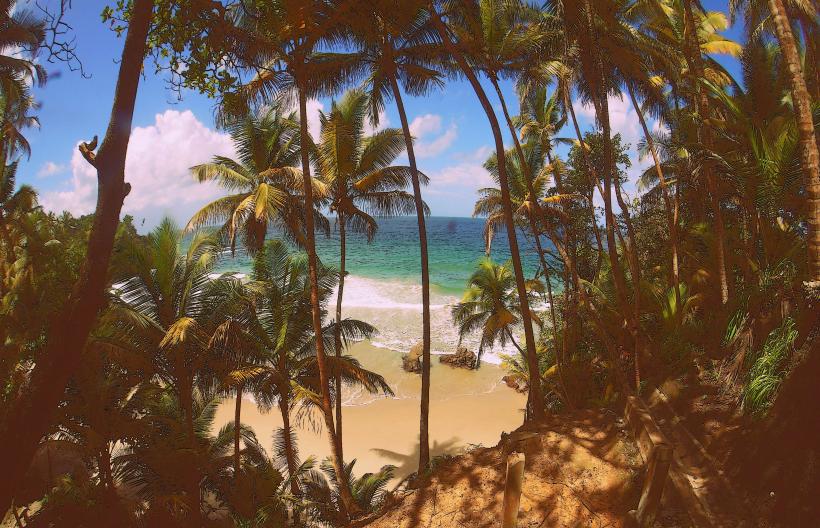
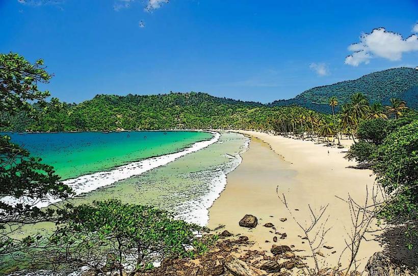
Topography: Characterized by rolling hills and the St. George Valley, which runs through the center of the parish. It offers expansive views of the south coast from the higher ridges.
Climate: Generally cooler and more humid than the coastal regions. The lush vegetation reflects the higher-than-average rainfall received in the central uplands.
Top Landmarks & Attractions
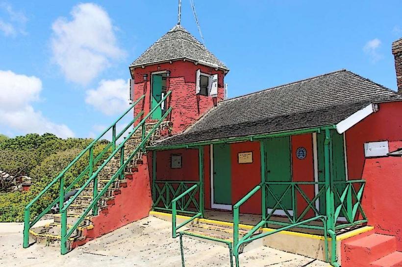
Gun Hill Signal Station: Built in 1818, it is the finest of the island’s former military signal stations. It features a famous large lion statue carved from a single piece of limestone by Captain Henry Wilkinson in 1868.
Orchid World & Tropical Gardens: A 6-acre garden featuring thousands of orchids and tropical plants, situated on a ridge with panoramic views of the valley.
St. George Parish Church: One of the oldest and most beautiful Anglican churches on the island, originally built in 1641 and rebuilt in 1784. It contains the famous "Resurrection" painting by American artist Benjamin West.
Brighton Farmers Market: A popular Saturday morning destination at Brighton Plantation where locals and visitors gather for fresh produce, local crafts, and breakfast.
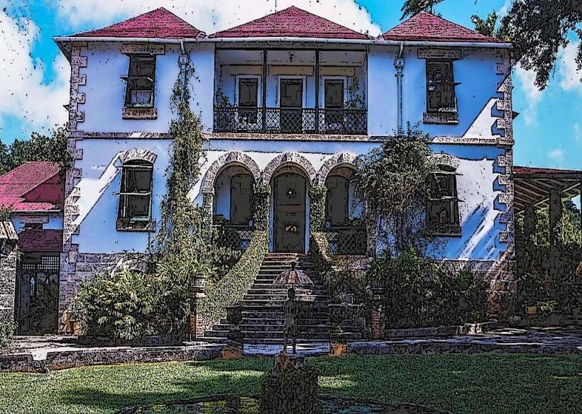
Drax Hall: One of the oldest plantation houses in the Western Hemisphere, built in the 1650s and still owned by the Drax family. It is a rare example of Jacobean architecture in the Caribbean.
Transportation & Logistics
Road: Saint George is a transit hub for cross-island travel. The ABC Highway runs along the southern border of the parish at the Mapp Hill and Boarded Hall intersections.
Public Transport: Well-served by blue government buses and yellow minibuses originating from the Bridgetown terminals. Routes to Market Hill, Workmans, and The Glebe provide the most coverage.
Navigation: The parish features many narrow "canefield roads" which are scenic but can be difficult for tourists to navigate without GPS.
Administrative Center: The Glebe
The Glebe serves as the primary village and service center for the parish.
Services: Houses the St. George Parish Church, local government offices, a post office, and a variety of small retail shops and clinics.
Safety & Health
Safety: Highly residential and considered one of the safest parishes on the island.
Health: The St. George Polyclinic provides primary healthcare. Due to its central location, residents have quick access to the Queen Elizabeth Hospital in Bridgetown.
Digital & Financial Infrastructure
4G and 5G coverage is reliable across the ridges but can occasionally dip in the deepest parts of the St. George Valley. ATMs are primarily located in the commercial areas near the ABC Highway (Boarded Hall) and within the larger shopping complexes in the neighboring parish of St. Michael (Haggatt Hall).
Local Cost Index
1 Entry to Gun Hill Signal Station: ~$25.00 BBD ($12.50 USD)
1 Coffee at Brighton Farmers Market: ~$8.00 BBD ($4.00 USD)
1 Entry to Orchid World: ~$50.00 BBD ($25.00 USD)
Facts & Legends
A verified agricultural fact is that the St. George Valley contains some of the deepest and most productive topsoil in the Caribbean, a result of volcanic ash deposits from eruptions on neighboring St. Vincent over thousands of years. Local legend tells of hidden tunnels beneath the Gun Hill Signal Station used by soldiers to move supplies undetected during the 19th century, though most modern excavations suggest these were merely elaborate limestone drainage systems.