Information
City: Savanna La MarCountry: Jamaica
Continent: North America
Savanna La Mar, Jamaica, North America
Savanna-la-Mar is the capital of Westmoreland Parish and the primary commercial and administrative center for western Jamaica’s sugar and agricultural belt. It is situated on a low-lying coastal plain, approximately 45 kilometers southeast of Negril.
Historical Timeline
Founded in 1730, the town was designed as a port for the export of sugar from the surrounding estates. Governance transitioned from British colonial rule to independence in 1962. The city has been almost entirely destroyed multiple times by natural disasters, most notably the hurricane and tidal wave of 1780. The primary event shaping the current urban form was the mid-20th-century expansion of the sugar industry, which centered economic activity around the West Indies Sugar Company (WISCO) and the town's central wharf.
Demographics & Population
The urban population is approximately 23,000. The demographic is predominantly Afro-Jamaican, with a notable community of Indo-Jamaicans whose ancestors arrived as indentured laborers for the sugar estates. The median age is approximately 31.5 years.
Urban Layout & Key Districts
The town is linear, centered on Great George Street, which runs from the northern hills directly to the sea. The 2 most important districts are the Commercial Core (Great George Street, containing banks and government offices, located Central) and the Waterfront (historic ruins and port facilities, located South).
Top City Landmarks
Savanna-la-Mar Fort (Ruins of an 18th-century coastal fortification)
St. George’s Anglican Church (1905)
The Courthouse
The Cast-Iron Fountain (Great George Street)
Frome Sugar Estate (Nearby industrial site)
Transportation Network
Movement is facilitated by route taxis (red plates) and private vehicles. There is no metro or rail system. The primary transport hub is the Savanna-la-Mar Transport Centre on Great George Street. Access from Montego Bay or Negril is via the A1 and A2 highways. Traffic density is high and often congested in the town center due to the single-main-road layout.
Safety & "Red Zones"
The general safety level is moderate, with localized volatility. As of 2026, visitors are advised to avoid the "Russia," "Dalling Street," and "Gully Bank" areas due to persistent gang-related conflicts. Risks are primarily limited to residents, but tourists should remain on the main commercial thoroughfares and avoid walking at night. Common scams involve unlicensed "money changers" near the transport center.
Digital & Financial Infrastructure
Internet speeds average 20–50 Mbps. Main carriers are Flow and Digicel. Card acceptance is standard in supermarkets (Progressive, Hi-Lo) and banks, but cash (JMD) is mandatory for local market purchases and route taxis. ATMs are concentrated on Great George Street at NCB and Scotiabank.
Climate & Air Quality
Temperatures range from 24°C to 32°C. Air quality is moderate, often affected by seasonal "cane fires" (controlled burning of sugar fields) between January and May. The primary weather risk is storm surges and flooding, as the town sits at sea level.
Culture & Social Norms
Tipping of 10% is standard in restaurants. Formal greetings are a strict social requirement. Dress code is "town casual"; unlike nearby Negril, beachwear is considered highly inappropriate in the commercial center. The town has a strong agrarian identity, heavily influenced by the seasonal cycles of the sugar harvest.
Accommodation Zones
Great George Street: Stay here for proximity to business and government services.
Bluefields/South Coast: Stay here (20 minutes East) for beach guesthouses and a more relaxed environment.
Local Cost Index
1 Espresso: 480 JMD ($3.10 USD)
1 Standard Lunch: 900 JMD ($5.80 USD)
1 Taxi (Short local drop): 150 JMD ($1.00 USD)
Nearby Day Trips
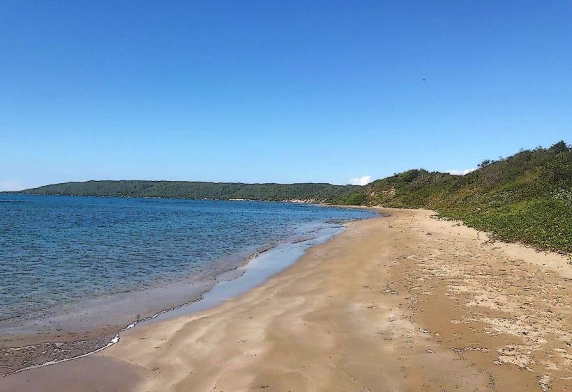
Bluefields Beach: 18 km (25 minutes by car)
YS Falls: 55 km (1.5 hours by car)
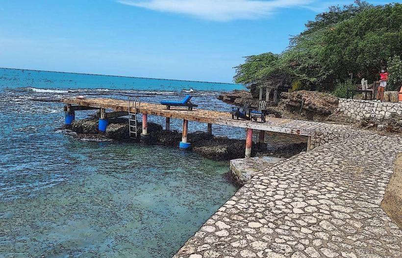
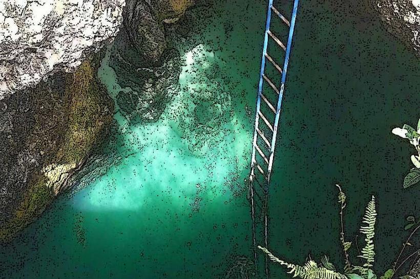
Roaring River Park: 10 km (20 minutes by car)
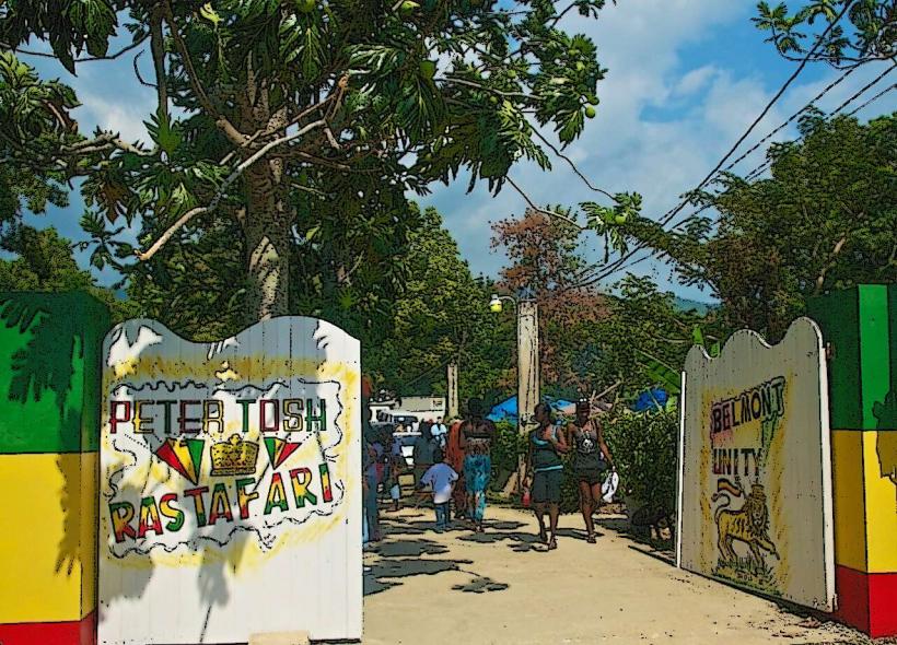
Peter Tosh Memorial (Belmont): 20 km (30 minutes by car)
Facts & Legends
Savanna-la-Mar translates from Spanish to "The Plain by the Sea." A local legend concerns the "1780 Hurricane," where it is claimed the sea rose so high that ships were deposited in the tops of trees several hundred yards inland. A verified historical oddity is that the town's fort was built so close to the water's edge that it began sinking into the silt before it was even completed, leaving the ruins visible in the surf today.