Information
City: TagaytayCountry: Philippines
Continent: Asia
Tagaytay, Philippines, Asia
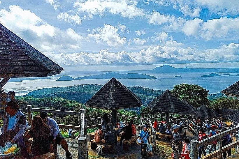
Tagaytay serves as a primary leisure and secondary residential hub in the province of Cavite. It functions as a major domestic tourism destination due to its high altitude, cool climate, and its location on the ridge overlooking Taal Lake and Taal Volcano.
Historical Timeline
The city was a strategic lookout point during the Philippine Revolution of 1896. It was formally incorporated as a city in 1937 under President Manuel L. Quezon. The primary event shaping its current urban form was the rapid commercialization in the 1990s and 2000s, which transformed the ridge from a quiet agricultural area into a high-density corridor of condominiums, hotels, and restaurants.
Demographics & Population
The permanent population is approximately 85,000 (2020 Census), though this fluctuates significantly with the weekend tourist influx. The demographic is predominantly Tagalog. The median age is 26 years.
Urban Layout & Key Districts
The city is organized linearly along the Tagaytay Ridge (Aguinaldo Highway). Key districts include Mendez Crossing (West), the junction for Batangas transit; Rotonda (Center), the primary commercial and transport node; and Sungay (East), characterized by higher elevations and the People's Park in the Sky.
Top City Landmarks
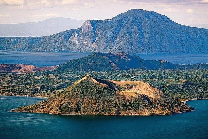
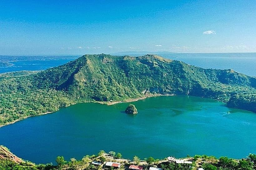
Taal Volcano View (Visible from the ridge)
Picnic Grove
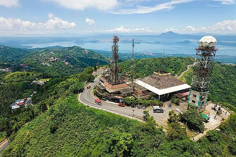
People's Park in the Sky
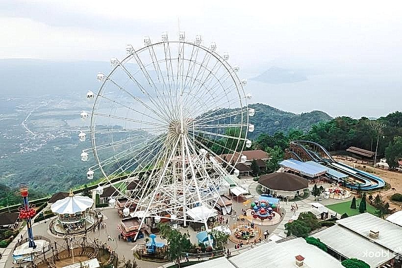
Sky Ranch Tagaytay
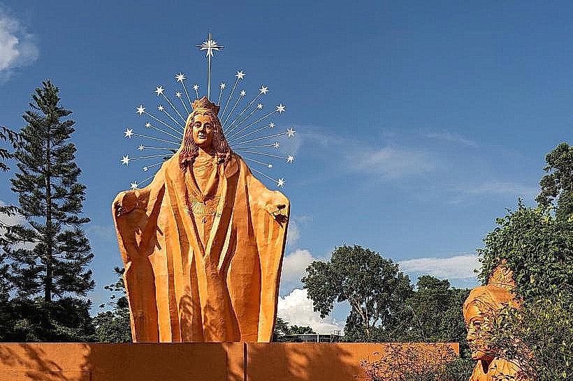
Pink Sisters Convent
Transportation Network
Movement is facilitated by the Aguinaldo Highway and Santa Rosa-Tagaytay Road. Public transit consists of buses (Manila-Nasugbu routes) and jeepneys. There is no rail service. Ride-sharing via Grab is available but limited. Traffic density is extreme on weekends and holidays, often resulting in gridlock at the Rotonda and Mahogany Market areas.
Safety & "Red Zones"
The safety level is high. There are no "red zones." The primary risk is environmental; the city is within the High-Risk Zone for Taal Volcano activity. Visitors must monitor Philippine Institute of Volcanology and Seismology (PHIVOLCS) advisories regarding ashfall or volcanic smog (vog). Use only metered or Grab-hailed vehicles to avoid overcharging.
Digital & Financial Infrastructure
Average internet speed is 30–60 Mbps. Main carriers are Globe and Smart. Card acceptance is universal in major restaurants and malls; cash or GCash is required for the Mahogany Beef Market and local tricycle transit. ATMs are abundant along the main highway and at Ayala Malls Serin.
Climate & Air Quality
Temperatures range from 18°C to 28°C. The city is significantly cooler than Manila, with frequent fog and mist during the "Ber" months (September–December). Air quality is generally good, though volcanic sulfur dioxide (SO2) can occasionally affect the area depending on wind direction.
Culture & Social Norms
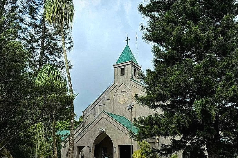
Tipping of 10% is standard in sit-down establishments. The local culinary culture is centered on Bulalo (beef marrow soup). The city is a popular site for Catholic retreats and weddings; modest behavior is expected near religious institutions. Public smoking is strictly regulated under city ordinances.
Accommodation Zones
Stay along the Ridge Front for direct views of the volcano and proximity to dining.
Stay in the Santa Rosa Road area for quieter, gated residential environments and easier access back to Metro Manila.
Local Cost Index
1 Espresso: 160 PHP ($2.80 USD)
1 Standard Lunch (Bulalo for two): 800–1,200 PHP ($14.00 – $21.00 USD)
1 Jeepney Ride: 13–20 PHP ($0.25 – $0.35 USD)
Nearby Day Trips
Caleruega Church (Nasugbu): 15 km (30 minutes)
Taal Heritage Town: 35 km (1 hour)
Nasugbu Beaches: 45 km (1.5 hours)
Enchanted Kingdom (Santa Rosa): 25 km (45 minutes)
Facts & Legends
Tagaytay is home to the world’s smallest active volcano, Taal. Local legend suggests the name comes from Tagay (to cut) and Itay (father), a shout used during a wild boar hunt, while a verified historical fact is that the city served as a landing site for US 11th Airborne Division paratroopers during the liberation of Luzon in 1945.