Information
City: VanadzorCountry: Armenia
Continent: Asia
Vanadzor, Armenia, Asia
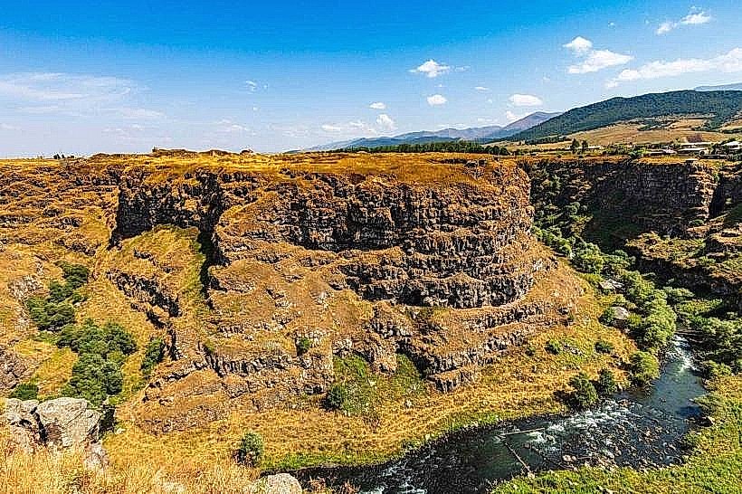
Vanadzor serves as the administrative center of the Lori Province and remains the third-largest city in Armenia. It is a primary industrial and educational hub situated in the Pambak River valley at the junction of the Pambak, Tandzut, and Bazum mountain ranges.
Historical Timeline
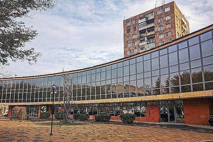
Vanadzor was known as Karakilisa during the Russian Imperial period and was renamed Kirovakan in 1935 after the Soviet leader Sergey Kirov. The city transitioned from a small village into a major chemical and metallurgical center during the Soviet era. The most significant architectural reconstruction followed the devastating 1988 Spitak Earthquake, which destroyed much of the city's industrial infrastructure and residential blocks. The primary event shaping the current urban form was the post-earthquake "Master Plan," which introduced widespread reinforced concrete structures alongside the surviving neoclassical buildings in the city center.
Demographics & Population
The population within city limits is approximately 76,000. The primary demographic is Armenian (98.5%), with small Greek and Russian minorities. The median age is 37.8 years.
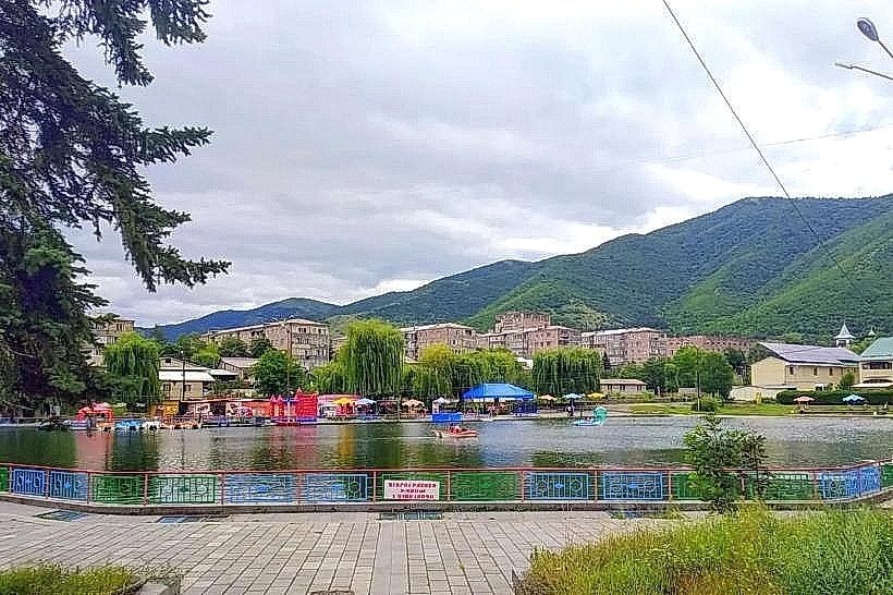
Urban Layout & Key Districts
The city is organized along a central axis formed by Tigran Mets Avenue. The most important districts for visitors are the City Center (Hayk Square), containing the municipal buildings and main hotels; the Dimats District (East), a dense residential area; and the Chemical Plant Zone (West), which houses the remains of the city's massive industrial complexes.
Top City Landmarks
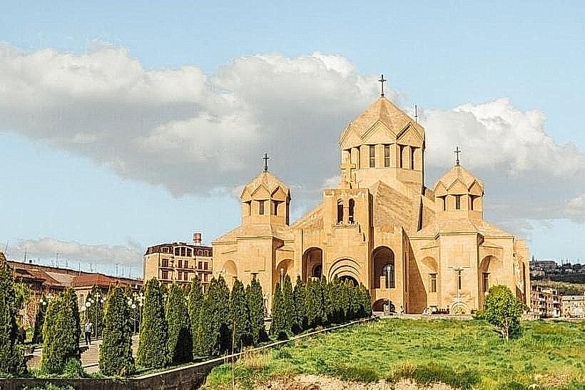
Saint Gregory of Narek Cathedral
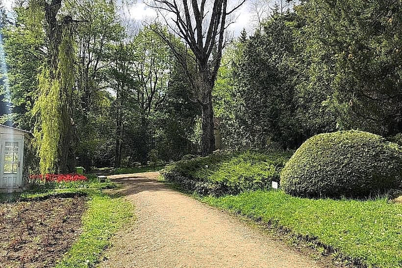
Vanadzor Botanical Garden
The "Old House" (Lori-Pambak Geological Museum)
Russian Church of the Nativity of the Blessed Virgin Mary
Transportation Network
Movement within Vanadzor is conducted via "Marshrutkas" (minibuses) and a high density of private taxis. There is no metro or tram system. Regional transit to Yerevan and Gyumri is serviced by vans departing from the central bus station. Ride-sharing is available via the GG and Yandex Go apps. Taxis are exceptionally inexpensive and available at almost every street corner. Traffic density is low, though road quality varies significantly outside the main avenues.
Safety & "Red Zones"
The general safety level is very high. There are no designated "red zones." Visitors should exercise standard caution when exploring abandoned industrial sites on the city's outskirts due to structural instability. Common scams are virtually non-existent.
Digital & Financial Infrastructure
Average internet speed is 60–100 Mbps via Ucom, Team Telecom, or Rostelecom. Main mobile carriers are Viva-MTS, Team, and Ucom. Card acceptance is high in supermarkets, pharmacies, and hotels, but cash (Armenian Dram) is necessary for smaller shops and local markets. ATMs are ubiquitous in the town center, particularly around Hayk Square.
Climate & Air Quality
Temperatures range from -7°C in January to 25°C in July. The city is known for its mild, temperate climate compared to the arid Ararat plain. Air quality has improved significantly since the closure of most heavy chemical plants, though localized dust and winter woodsmoke remain factors.
Culture & Social Norms
Tipping of 10% is standard in cafes and restaurants. Handshakes are the standard greeting. Dress code is casual. The city has a strong artistic tradition, particularly in stone carving and painting. Public smoking is common in designated outdoor areas; alcohol is widely available and culturally integrated into social gatherings.
Accommodation Zones
Stay near Hayk Square (Town Center) for walking access to the museum, park, and central dining.
Stay in the southern hills (Sanatorium District) for a quiet atmosphere and views of the surrounding mountains.
Local Cost Index
1 Espresso: 800 AMD ($2.00)
1 Standard Lunch: 3,500 AMD ($8.75)
1 Intra-city Minibus: 100 AMD ($0.25)
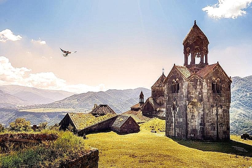
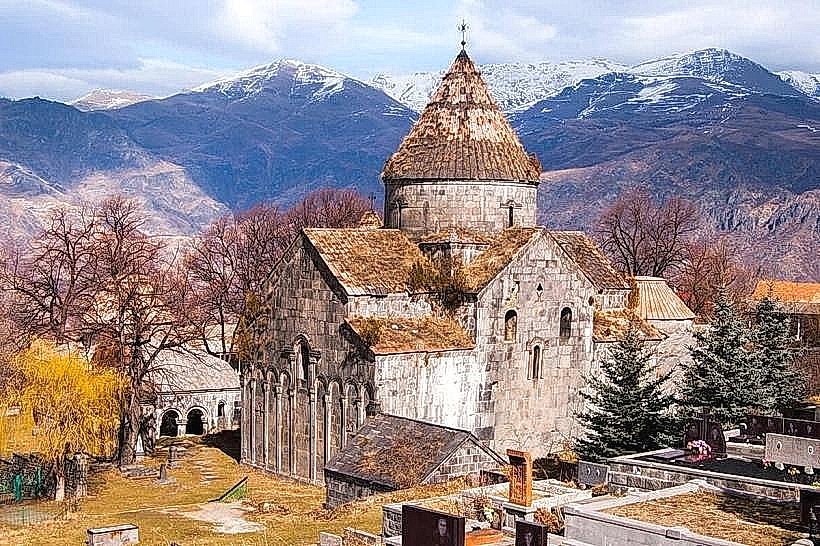
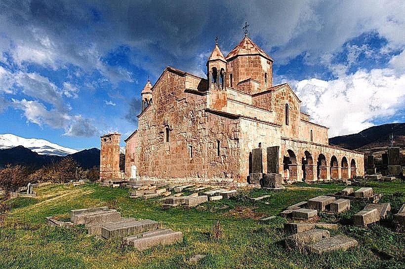
Nearby Day Trips
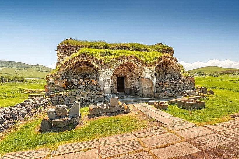
Sanahin and Haghpat Monasteries (UNESCO) (60 km north)
Odzun Church (40 km north)
Dendropark (Stepanavan) (35 km northwest)
Spitak (20 km west)
Facts & Legends
Vanadzor was once the site of the most prestigious "Sanatoriums" in the Soviet Union, where officials and artists would travel for the healing properties of the mountain air and mineral waters. A local legend claims that the city’s original name, Karakilisa (Black Church), came from a 13th-century church built of black stone that survived multiple invasions when all other structures were leveled, leading locals to believe the site was divinely protected.