Information
City: ZagoraCountry: Morocco
Continent: Africa
Zagora, Morocco, Africa
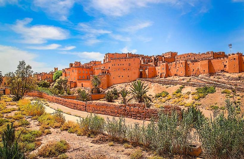
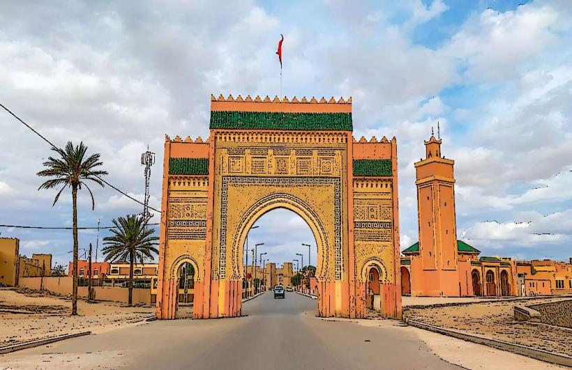
Zagora is the administrative center of the Zagora Province and a major gateway to the southeastern Sahara. It is situated in the Drâa Valley, along the banks of the Drâa River and at the base of the Jbel Zagora mountain.
Historical Timeline
Zagora served as a critical caravan staging point for trans-Saharan trade between Marrakech and Timbuktu. It became a strategic military and administrative hub during the French Protectorate in the early 20th century. The primary event shaping its current urban form was the 1970s and 80s expansion of the Draa Valley irrigation projects, which stabilized the sedentary population and shifted the economy from nomadic pastoralism to date palm cultivation and international desert tourism.
Demographics & Population
The estimated metropolitan population for 2026 is 42,000. The demographics are a blend of Shilha Berbers (Imazighen), Arabs, and Haratin. The median age is approximately 25.6 years.
Urban Layout & Key Districts
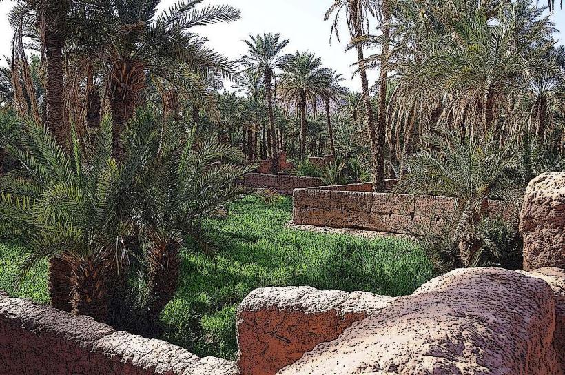
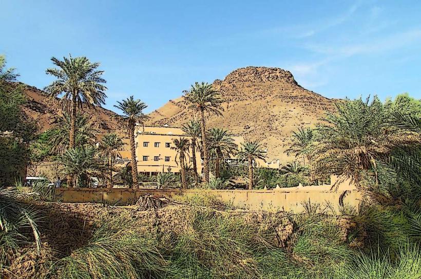
The city is organized along a central main boulevard (Avenue Mohammed V). Key districts include the Center (administrative and commercial), Amazrou (the historic Jewish and artisan quarter across the river), and the Palmeraie (the dense date palm groves surrounding the town). The city is physically dominated by Jbel Zagora to the southeast.
Top City Landmarks
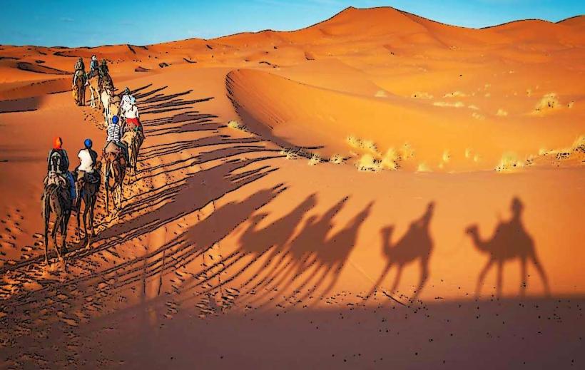
The "Timbuktu 52 Days" Sign: A world-famous mural depicting the duration of a camel caravan journey to Mali.
Jbel Zagora: A mountain offering views of the Drâa Valley and the desert.
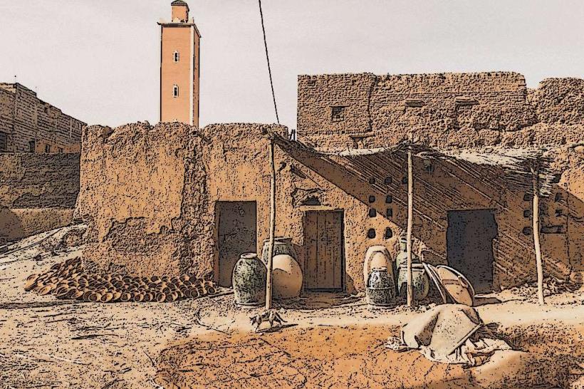
Amazrou Kasbah: A historic fortified village known for its traditional silver jewelry workshops.
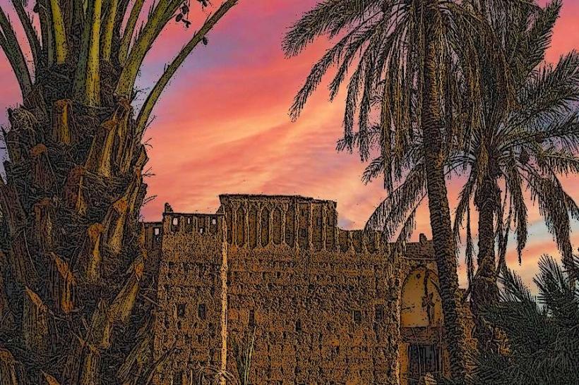
The Palmeraie: An extensive irrigation-fed date palm forest.
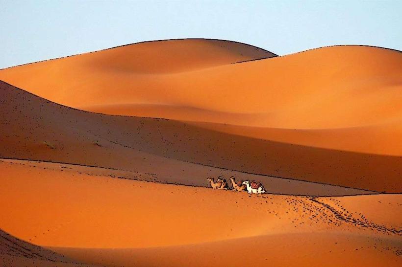
Tinfou Dunes: Small sand dunes located 25 km south of the city.
Transportation Network
Intra-city transit is managed by "Petit Taxis" (typically beige-colored) and private vehicles. There are no metro or tram systems. Inter-city transport is facilitated by CTM buses and "Grand Taxis" linking to Ouarzazate (160 km). Zagora has a regional airport (OZG) with limited flights to Casablanca. Traffic density is very low.
Safety & "Red Zones"
The general safety level is very high. Crime is negligible. There are no specific "red zones," though travelers should avoid hiking Jbel Zagora without water and sun protection. Common scams involve "desert tours" that only go to the small Tinfou dunes rather than the larger Erg Chigaga dunes (which require a 4x4 and several hours of travel).
Digital & Financial Infrastructure
The average internet speed is 25-35 Mbps. Main mobile carriers are Maroc Telecom, Orange, and Inwi. Credit card acceptance is low, limited to larger hotels and tour operators. Cash (Dirham) is mandatory for local markets. ATMs are located primarily along the main boulevard.
Climate & Air Quality
Temperatures range from 2°C in winter nights to 45°C in summer. The climate is hyper-arid. Air quality is generally high, but sandstorms (Sirocco) can significantly reduce visibility and air quality during the spring. Significant weather risks include extreme heatwaves in July and August.
Culture & Social Norms
Tipping is standard at 5–10% in restaurants. Handshakes are the standard greeting. Zagora is culturally conservative; modest attire is required. The city is famous for its "Zagora silver" and high-quality dates. Alcohol is restricted to a few licensed hotel bars.
Accommodation Zones
City Center: Recommended for proximity to transport and local services.
The Palmeraie / Amazrou: Recommended for quiet guesthouses and traditional architecture.
Local Cost Index
1 Espresso: 12 MAD ($1.20 USD)
1 Standard Lunch (Draa-style Tagine): 60 MAD ($6.00 USD)
1 Petit Taxi Trip: 10 MAD ($1.00 USD)
Nearby Day Trips
Tamegroute: 18 km (Famous for its green pottery and ancient Sufi library)
M'Hamid El Ghizlane: 95 km (The end of the paved road and start of the deep desert)
Erg Chigaga: 150 km (Requires 4x4; Morocco's largest sand dunes)
Facts & Legends
Zagora is nicknamed "The Gateway to the Desert." A local legend claims that the Draa River once flowed year-round and supported a massive kingdom before the sands of the Sahara began to encroach. A verified historical oddity is the library at Tamegroute, which contains 11th-century Quranic manuscripts written on gazelle skin. The city serves as the last major administrative stop before the vast, uninhabited desert stretches toward the Algerian border.