Information
Landmark: ApanecaCity: Sonsonate
Country: El Salvador
Continent: North America
Apaneca, Sonsonate, El Salvador, North America
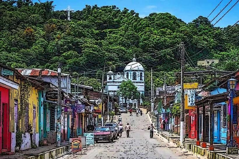
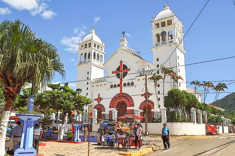
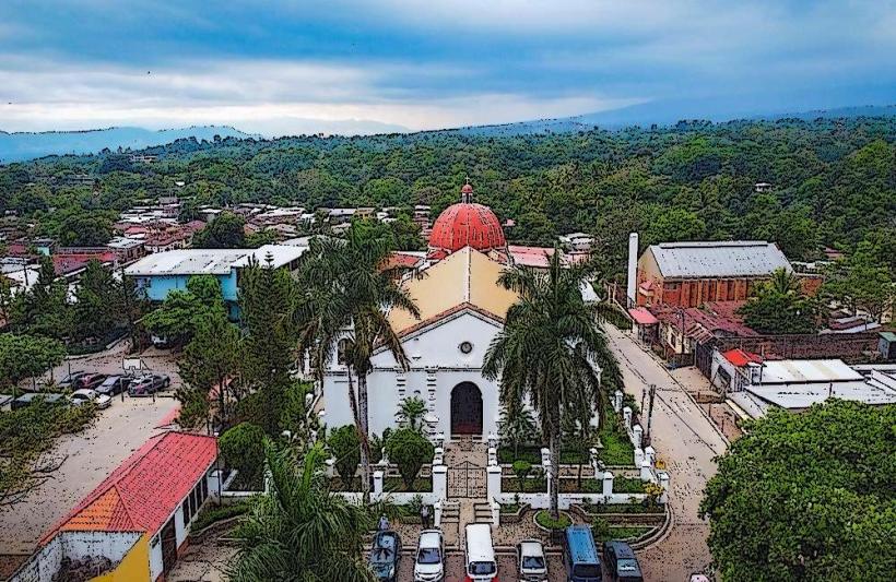
Apaneca is a municipality located in the department of Sonsonate, El Salvador. It is situated in the western highlands of the country.
Visual Characteristics
The town features colonial-era architecture with whitewashed walls and red-tiled roofs. Buildings are predominantly constructed from adobe and stone. The surrounding landscape is characterized by rolling hills covered in coffee plantations and pine forests. Elevation is approximately 1,400 meters (4,600 feet) above sea level.
Location & Access Logistics
Apaneca is located 95 kilometers (59 miles) west of San Salvador. Access is via CA-1 West highway, then turning onto CA-2 West towards Sonsonate, and finally taking RN-12 North. The journey from San Salvador takes approximately 2 hours by car. Public transport is available via bus lines 202 and 249 from San Salvador's Terminal de Occidente, with a transfer in Sonsonate. Parking is available in designated areas within the town center, though street parking can be limited during peak hours.
Historical & Ecological Origin
Apaneca's origins trace back to pre-Hispanic times, with evidence of indigenous settlements. It was officially founded as a Spanish town in 1586. The region's economy has historically been driven by coffee cultivation, which shaped its development and landscape. Ecologically, the area is part of the Mesoamerican highlands, supporting diverse flora and fauna adapted to higher altitudes.
Key Highlights & Activities
Activities include visiting the Laguna de las Ninfas, a small crater lake accessible via a walking path. The Ruta de las Flores (Flower Route) passes through Apaneca, offering scenic drives and stops at local artisan shops. Coffee plantation tours are available, detailing the cultivation and processing of beans. Hiking trails are present in the surrounding hills.
Infrastructure & Amenities
Restrooms are available at public squares and some cafes. Shade is provided by trees along main streets and within cafes. Cell phone signal (4G) is generally consistent within the town center. Food vendors and small restaurants are located in the central plaza and along the main roads.
Best Time to Visit
The dry season, from November to April, offers the most favorable weather. Mornings between 7:00 AM and 9:00 AM provide soft light for photography of the town and surrounding landscape. The town experiences cooler temperatures year-round due to its elevation.
Facts & Legends
A local legend states that the Laguna de las Ninfas is inhabited by water spirits. Historically, Apaneca was a significant center for coffee production, with many of its original haciendas still in operation or preserved as tourist sites.
Nearby Landmarks
- Laguna Verde (1.5km Northwest)
- Ataco (6km Southwest)
- Juayúa (10km Southeast)
- Concepción de Ataco (6km Southwest)