Information
Landmark: Aqueduto da Água de PrataCity: Evora
Country: Portugal
Continent: Europe
Aqueduto da Água de Prata, Evora, Portugal, Europe
The Aqueduto da Água de Prata (Aqueduct of Silver Water) is a 16th-century Renaissance engineering landmark in Évora. It was designed to provide the city with a constant supply of fresh water, spanning 18 kilometers from the Graça do Divor springs to the city center.
Visual Characteristics
The structure is defined by its massive granite masonry and a long sequence of semicircular arches. As the aqueduct enters the urban perimeter, the arches reach heights of up to $26$ meters. A unique architectural feature is the integration of houses, shops, and cafes directly into the arches within the city walls, particularly along Rua do Cano.
Location & Access Logistics
The aqueduct originates outside the city, but its most visible sections are located along the northern city walls and Rua do Cano. The Percurso da Água de Prata is an 8.3-kilometer hiking trail that follows the structure through the rural Alentejo landscape. Access to the trail and the urban sections is free. Visitors can reach the start of the urban section at the Porta da Lagoa.
Historical & Ecological Origin
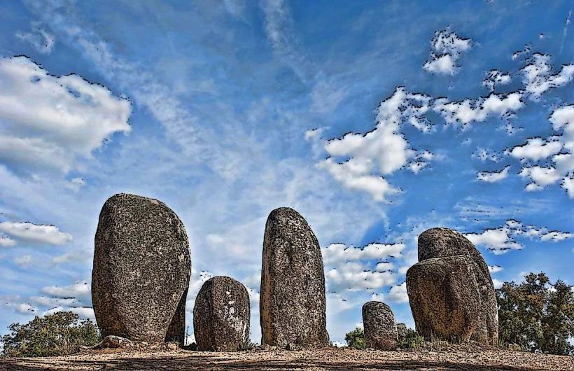
Commissioned by King João III and designed by architect Francisco de Arruda (who also designed the Belém Tower), construction took place between 1531 and 1537. It was built over the remains of an original Roman aqueduct that had fallen into disrepair. The structure crosses a Mediterranean landscape characterized by cork oak forests (montados) and granite outcrops.
Key Highlights & Activities
Rua do Cano: The primary street where medieval and Renaissance houses are built into the aqueduct's spans.
Caixa de Água da Rua Nova: A Renaissance water distribution box (castellum divisorium) located in the city center.
Hiking Trail: The rural path offers a perspective on the hydraulic gradient and the scale of the granite blocks used in construction.
Infrastructure & Amenities
The urban section is surrounded by the amenities of Évora’s historic center, including 5G cellular coverage and numerous dining options. The hiking trail is unpaved and lacks shade, requiring sun protection and water. Public restrooms are available in the city center museums and markets near the aqueduct's terminus.
Best Time to Visit
For the hiking trail, spring (March–May) and autumn (October–November) are ideal to avoid the extreme heat of the Alentejo summer. For urban photography, late afternoon light provides the best contrast against the granite arches on Rua do Cano.
Facts & Legends
The name "Silver Water" refers to the high cost of the project-the most expensive of its era in Portugal-rather than the color of the water. A verified fact: the aqueduct is one of the few 16th-century hydraulic structures in Europe that remained functional for over four centuries, continuing to supply the city well into the 20th century.
Nearby Landmarks
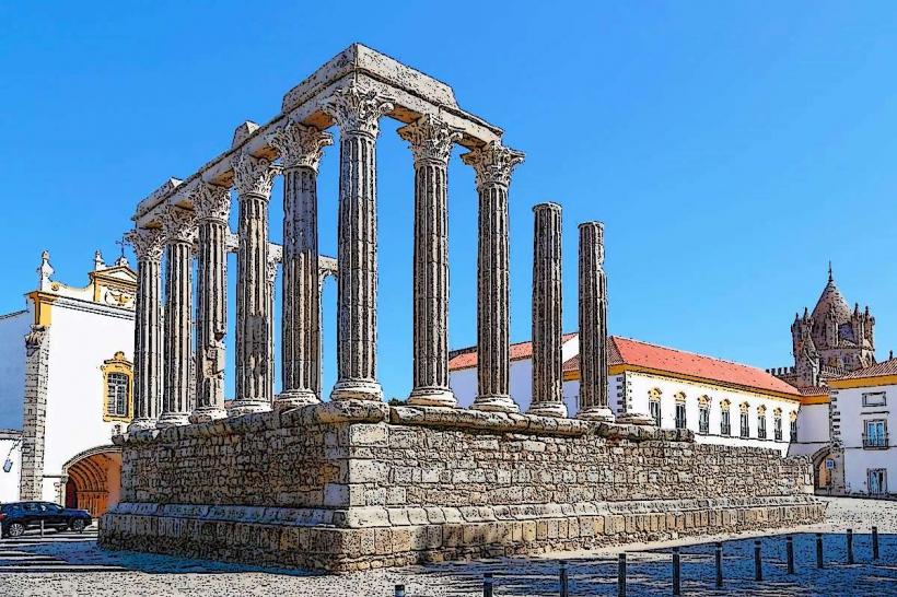
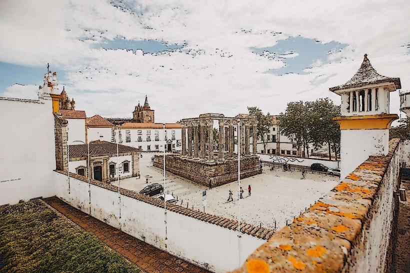
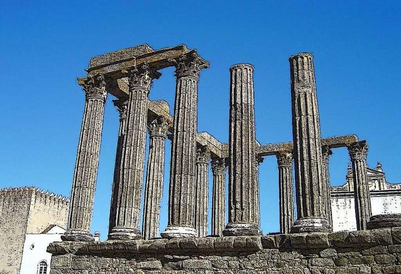
Roman Temple of Évora: 0.7km South
Évora City Walls: 0.0km (integrated)
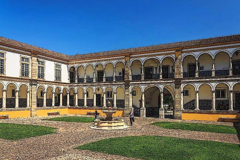
University of Évora (Colégio do Espírito Santo): 0.5km Southeast
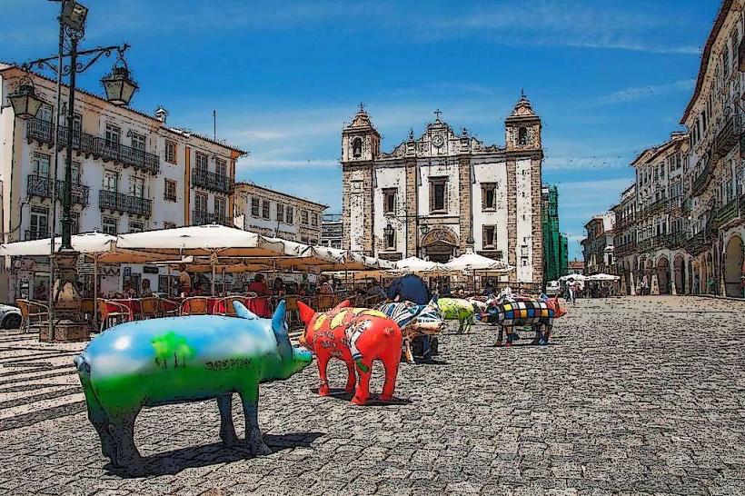
Giraldo Square: 0.6km South
Cartuxa Convent: 1.5km Northwest (along the rural section)