Information
Landmark: Aran IslandsCity: Galway
Country: Ireland
Continent: Europe
Aran Islands, Galway, Ireland, Europe
The Aran Islands consist of three limestone islands-Inis Mór (Inishmore), Inis Meáin (Inishmaan), and Inis Oírr (Inisheer)-located at the mouth of Galway Bay. They are a Gaeltacht (Irish-speaking) region known for their preserved traditional culture and extensive archaeological sites.
Visual Characteristics
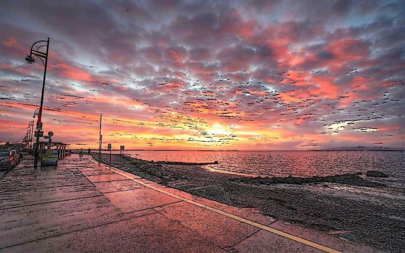
The landscape is characterized by a "karst" limestone pavement, similar to the Burren, featuring deep fissures (grikes) and flat slabs (clints). The islands are segmented by thousands of kilometers of dry-stone walls that create small, geometric fields. Coastal features include massive sheer cliffs on the Atlantic-facing (southern) sides and white sand beaches on the landward (northern) sides.
Location & Access Logistics
Transit (Ferries): Year-round services depart from Rossaveal (40km west of Galway City). Seasonal ferries (April–October) depart from Doolin, County Clare.
Transit (Air): Aer Arann Islands operates daily 8-minute flights from Connemara Airport (Inverin).
On-Island Transport: Visitors primarily utilize bicycle rentals, horse-drawn carriages, or local minibus tours. Private cars for tourists are prohibited.
Access: Ferries are weather-dependent; cancellations occur during Atlantic gales.
Historical & Ecological Origin
The islands are geologically a continuation of the Carboniferous limestone of the Burren. Human habitation dates back over 3,000 years.
Dún Aonghasa: A semi-circular prehistoric stone fort on Inis Mór, positioned on a 100-meter vertical cliff.
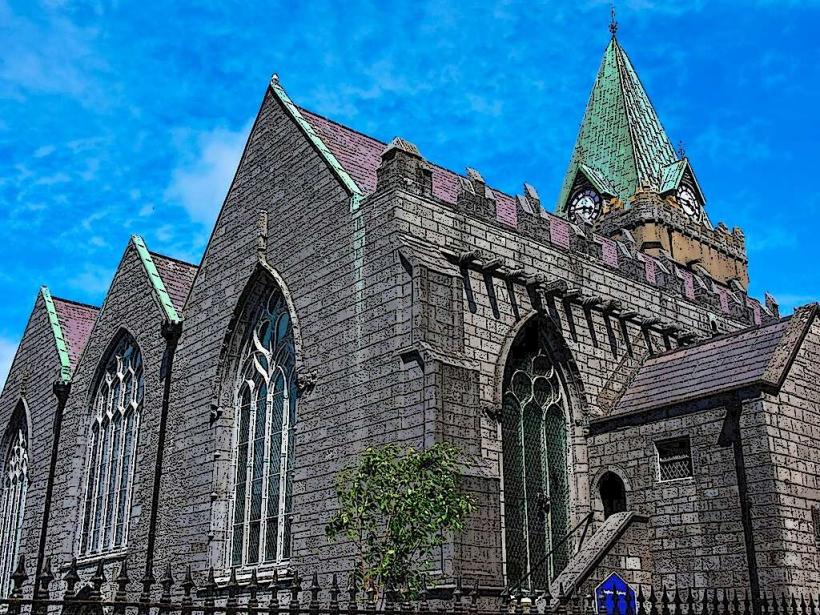
Monastic Sites: The islands were a major center for early Christian learning; notable ruins include the "Seven Churches" (Na Seacht dTeampaill).
Key Highlights & Activities
Archaeology: Exploration of Dún Aonghasa, Dún Chonchúir (Inis Meáin), and O'Brien's Castle (Inis Oírr).
Cultural Products: The islands are the origin of the Aran Sweater, featuring complex cable patterns historically used by fishing families.
Swimming: Poll na bPéist (The Worm Hole) on Inis Mór is a naturally occurring rectangular sea pool, frequently used for international cliff-diving competitions.
Infrastructure & Amenities
Services: Kilronan (Inis Mór) is the primary village, containing a supermarket, bank (ATM), pharmacy, and post office.
Connectivity: 4G cellular coverage is available but can be intermittent in low-lying areas or near cliffs.
Sanitation: Public restrooms are located at the ferry terminals and visitor centers near Dún Aonghasa.
Accommodation: Includes small hotels, B&Bs, and a glamping site on Inis Mór.
Best Time to Visit
Seasonality: May through September provides the most stable weather and full ferry schedules.
Time of Day: Day-trippers typically arrive between 11:00 and 12:00 and depart by 17:00; staying overnight allows for viewing the landscape without crowds.
Clothing: High-wind resistance and waterproof gear are essential due to constant Atlantic exposure.
Facts & Legends
The Currach: Islanders still use traditional canvas-covered wooden boats (currachs) for coastal fishing.
The "Man of Aran": The islands were the subject of Robert Flaherty’s famous 1934 documentary, which dramatized the harshness of island life.
Primary Islands
Inis Mór: Largest (14km long); hosts the majority of tourist infrastructure and Dún Aonghasa.
Inis Meáin: The most traditional; known for its quiet atmosphere and literary connection to J.M. Synge.
Inis Oírr: Smallest and closest to the Clare coast; features the Plassey Shipwreck (1960).