Information
Landmark: Atherton TablelandsCity: Cairns
Country: Australia
Continent: Australia
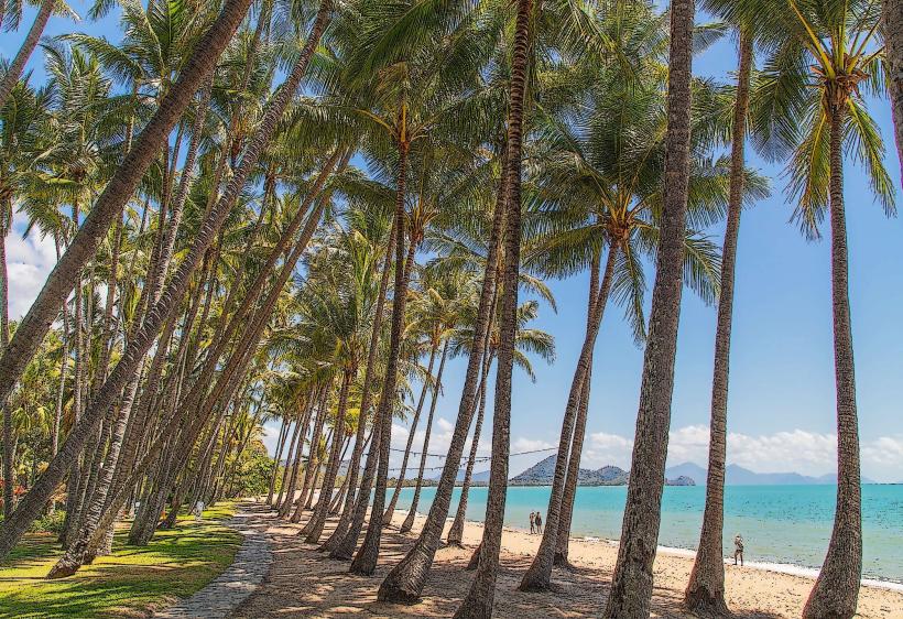
Atherton Tablelands, Cairns, Australia, Australia
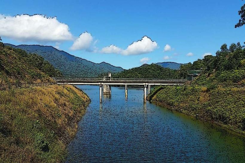
The Atherton Tablelands is a large plateau region located inland from Cairns, Queensland, Australia. It is characterized by its diverse landscapes, including rainforests, waterfalls, and agricultural areas.
Visual Characteristics
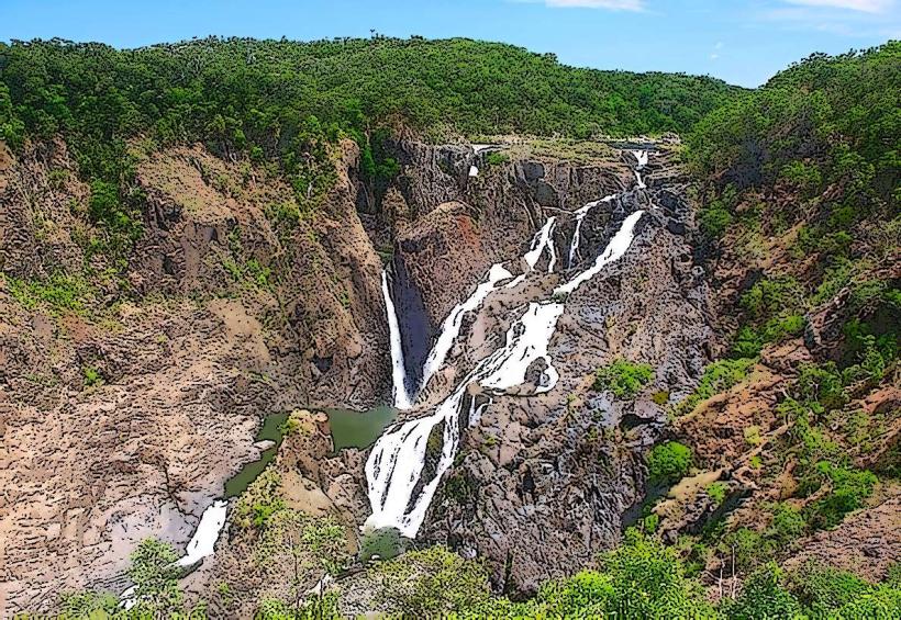
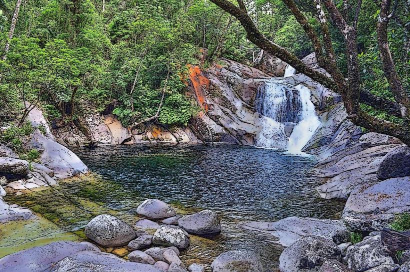
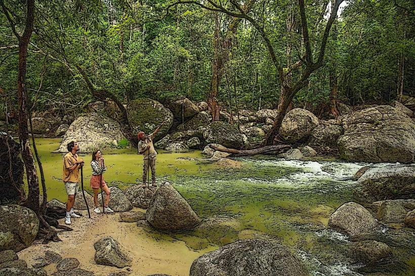
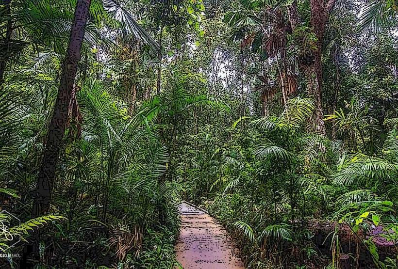
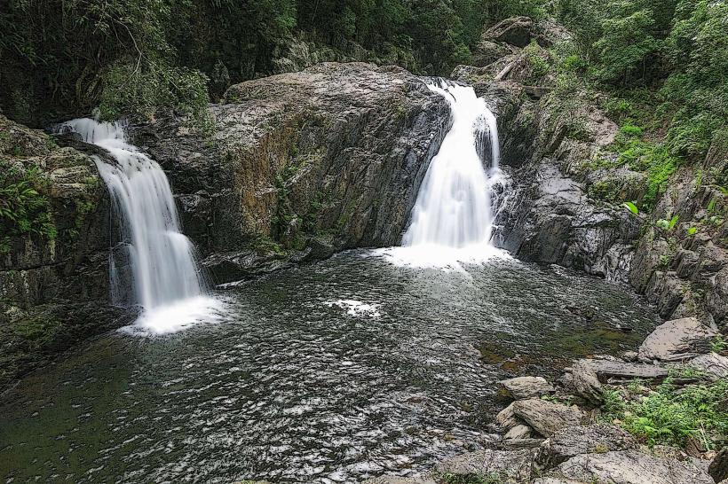
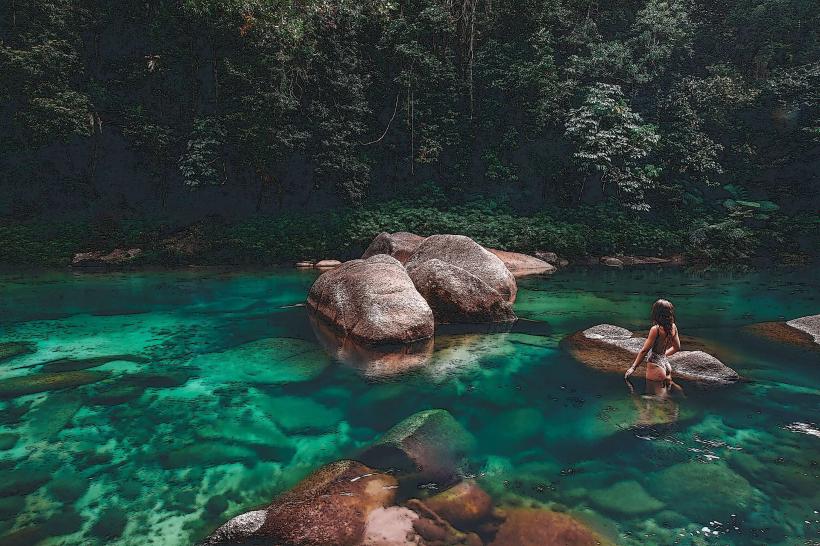
The region features rolling hills covered in dense tropical rainforest, interspersed with cleared land used for farming. Numerous waterfalls cascade over basalt cliffs, with water colors varying from clear to reddish-brown depending on sediment. Rock formations include ancient lava flows and volcanic craters. Vegetation density is high in rainforest areas, with a canopy layer dominated by various eucalyptus and fig species.
Location & Access Logistics
The Atherton Tablelands is situated approximately 50 kilometers west of Cairns. Access is primarily via the Gillies Highway (State Route 91) and the Kennedy Highway (State Route 1). Driving from Cairns city center to the town of Atherton takes approximately 1 hour. Parking is available in most towns and at designated tourist sites, though it can be limited during peak periods. Public transport options are minimal; bus services operate between towns but are infrequent. Car hire is the most practical method of exploration.
Historical & Ecological Origin
The Atherton Tablelands is a geologically significant area formed by volcanic activity over millions of years. The rich, fertile soils are a result of ancient basaltic lava flows. The region was traditionally inhabited by Indigenous Australian peoples for thousands of years before European settlement in the late 19th century, which led to agricultural development, particularly dairy farming and sugarcane cultivation.
Key Highlights & Activities
Activities include hiking trails through rainforests, such as the Millaa Millaa Falls circuit. Swimming is permitted at designated waterfalls like Millaa Millaa Falls and Malanda Falls. Birdwatching is a popular activity due to the diverse avian population. Visits to local produce markets and cheese factories are also common. Exploring volcanic craters like Mount Hypipamee is possible.
Infrastructure & Amenities
Restrooms are available at most major towns and popular tourist attractions. Shade is abundant in rainforest areas and provided by trees in picnic spots. Cell phone signal (4G) is generally available in towns but can be intermittent in more remote rainforest sections. Food vendors and cafes are present in towns like Atherton, Malanda, and Yungaburra.
Best Time to Visit
The best months for visiting are generally from May to October, during the dry season, offering cooler temperatures and less humidity. The wet season (November to April) brings heavier rainfall, which can impact road conditions and outdoor activities, though waterfalls are at their most impressive. For photography, early morning and late afternoon provide optimal lighting conditions, particularly for capturing waterfall mist.
Facts & Legends
A local legend speaks of the "Mamu," a mythical creature said to inhabit the rainforests of the Atherton Tablelands, often associated with the sounds heard in the dense jungle at night. A specific tip for visitors is to check local council websites for any fire bans or road closures, especially during the dry season.
Nearby Landmarks
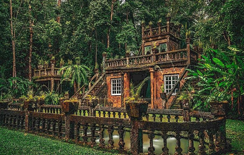
Paronella Park: 15km Southeast
Millaa Millaa Falls: 20km Southeast
Herberton Historic Village: 10km Southwest
Lake Eacham: 25km South
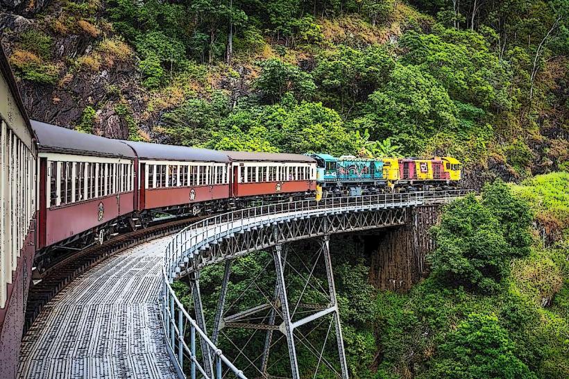
Kuranda Scenic Railway: 40km East (access point)